Download
1 / 13
140 likes | 387 Vues
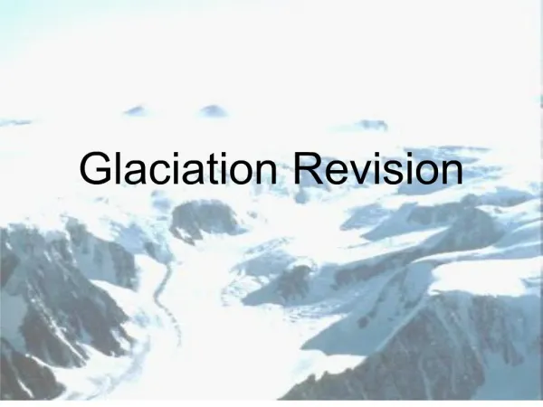
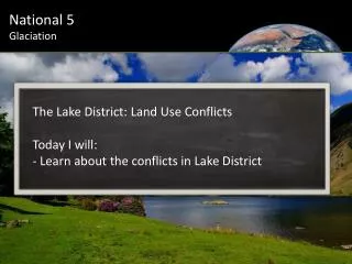
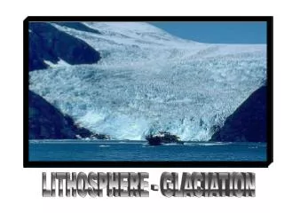
Glaciation revision. Key points. At all three levels (foundation, general and credit) you have to be able to recognise the main features, and be able to describe and explain their formation. You must fully understand the term natural process. Map work - what you should know.

E N D
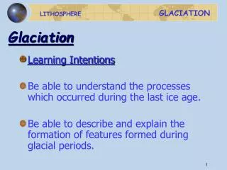
Key points • At all three levels (foundation, general and credit) you have to be able to recognise the main features, and be able to describe and explain their formation. You must fully understand the term natural process
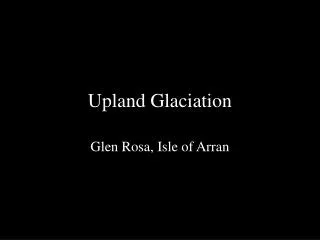
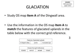
Map work - what you should know • On a landscape diagram or OS map be able to identify • Corries , pyramidal peaks and aretes • Corrie lochs/lakes/tarns • Hanging valley • U-shape valley • Truncated spurs As well as features formed by ice sheets depositing materials i.e. moraines, outwash plain, eskers, drumlins and erratics
Formation processes • Glacial erosion occurs through two processes, abrasion (sandpapering effect as ice moves across the land) and plucking (pieces of rock being torn away from the land) • Abrasion tends to lead to smoothed surfaces while plucking tends to produce jagged features • The glaciers consist of ice in which melting ice near the base of the glacier causes a process known as internal deformation.
The weight of the glacier causes it to slide on top of the melting ice. Called basal sliding. How fast the glacier flows depends on the type of rock it is on , the amount of ice in the glacier and the slope of the land. The process of melting is called ablation
As glaciers move they erode and deposit material at their margins - that is, at the front and sides. Melt waters flowing from the glaciers further erode and deposit material in a process known as fluvioglacial process
Formation of a corrie • Snow collects in hollow high in the mountains • Snow compacts to form ice • Weight of ice causes it to move, helped by melting water underneath • Ice has rotational movement to lip of hollow • Plucking and abrasion by the ice deepens the hollow, this is also how steep back wall is produced • After the ice has melted a corrie loch may form • 2 corries back to back = steep ridge = Arete • 3corries around a mountain top = Pyramidal peak
Formation of a U-shaped valley • Glacier flows down an existing V shaped valley • Glacier erodes sides and floor of river valley • The valley widens, deepens and straightens • After the glacier the valley is U shaped • Valley has very steep sides wide flat floor with a misfit stream If the question says ‘you may use a diagram’ USE ONE! it will be hard to get full marks without one. If it says ‘with the aid of a diagram…’USE ONE! it is IMPOSSIBLE to get full marks without one
Land use of glacial uplands • Tourism - sightseeing, hill walking etc e.g. Cairngorms • Winter sports - Ski resorts e.g. Aviemore • Hydro-electric power - high rainfall=supply, Corrie lochs provide storage, steep slopes =fast flowing water e.g. Ben Cruchan • Settlements/mountain passes - Flat valley floor good for settlements and and roads, railway lines through mountains • Terminals for large tankers - Fiords and sea locks e.g. Finnart on Loch long What conflicts can these different uses create?
Exam style question • There is a plan to plant trees on area X name a group that might be against the plan and give reasons why (3ES)
Lowland features • Moraine - name for material carried by glacier, can be terminal, lateral, surface or ground • Boulder clay/till - soil formed under the glacier • Outwash plain area of sands and gravels found beyond terminal moraine • Esker - long ridges of moraine marking path of a river under the glacier • Drumlins - long rounded hill with steeper upstream side
Land use glacial lowlands • Farming - fertile soil caused by glacial boulder clay (note stones and gravel NOT fertile) • Quarrying - sands and gravel • Settlement - farms, villages, towns
What features can you see here? What about land uses? What would be the pros and cons of a new sport/ outdoor centre at