Download
1 / 12
120 likes | 574 Vues
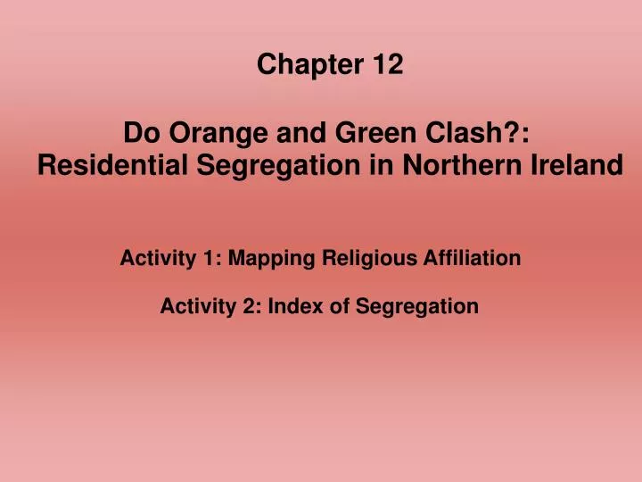
Chapter 12 Do Orange and Green Clash?: Residential Segregation in Northern Ireland. Activity 1: Mapping Religious Affiliation. Activity 2: Index of Segregation. Learning Outcomes After completing the chapter, you will be able to:. Compute an index of residential segregation.

E N D
Chapter 12 Do Orange and Green Clash?: Residential Segregation in Northern Ireland Activity 1: Mapping Religious Affiliation Activity 2: Index of Segregation
Learning OutcomesAfter completing the chapter, you will be able to: • Compute an index of residential segregation. • Use spreadsheet functions. • Make choropleth maps using a GIS. • Examine the geographical consequences of ethnic political turmoil.
Segregation Index where S = segregation index xi = number of Catholics in district i X = number of Catholics in all of Northern Ireland yi = number of non-Catholics in district i Y = number of non-Catholics in all of Northern Ireland n = number of districts
Definitions of Key Terms • Apartheid: A system of forced segregation between races in South Africa in effect until 1993. • Enclave: Residential clusters that result from voluntary segregation. • Ethnic Cleansing: Forced residential segregation along ethnic lines. • Ghetto: An urban area where, due to discrimination, ethnic segregation is largely involuntary. • Integration: The residential mixing of subgroups within the larger population.
Plantation System: An organized system of colonization used by the British government in the 1500s and 1600s to “plant” British colonists on Irish land. • Segregation: The residential separation of subgroups within the larger population. • Segregation Index: A numerical measure of the degree of separation of two or more distinct groups. • Social Distance: A measure of the likelihood that dissimilar groups will interact in society. Influences the degree of assimilation for minority groups. • Spatial Convergence: Increased integration over time.
Spatial Divergence: Increased segregation over time. • Tenant Farmer: A farmer who rents land to farm. Though tenant farmers often live in debt to the landowner, they are considered more fortunate than landless laborers, who neither own nor rent their own land.