Download
1 / 16
160 likes | 328 Vues
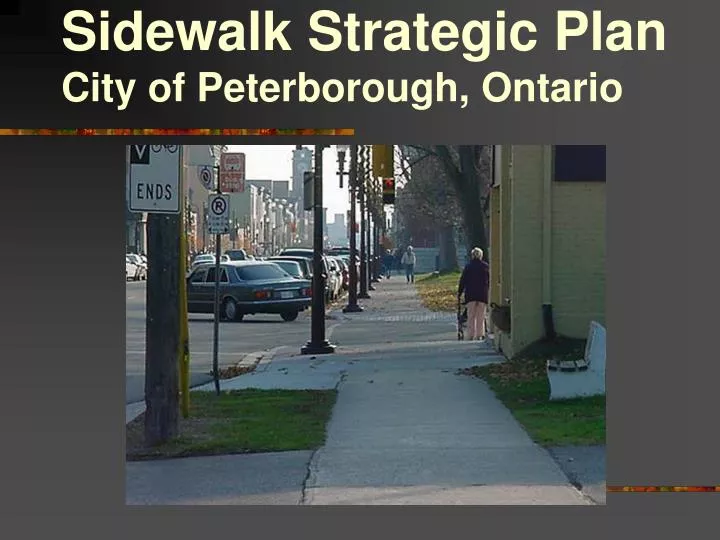
Sidewalk Strategic Plan City of Peterborough, Ontario. Sidewalk Strategic Plan. Will rank all missing sections of sidewalk and sidewalk ramps Project being done in-house Will assist in prioritizing capital spending on sidewalks and sidewalk ramps

E N D
Sidewalk Strategic Plan • Will rank all missing sections of sidewalk and sidewalk ramps • Project being done in-house • Will assist in prioritizing capital spending on sidewalks and sidewalk ramps • Uses the GIS system to apply points according to weighted criteria
Summary of Process • Establish project Team and Terms of Reference • Develop criteria • Use GIS analysis to populate table – this included data capture for some criteria
Summary of Process (con’d) 4. Sum the points for each missing sidewalk segment and then for each missing sidewalk ramp 5. Create a thematic map of the results 6. Prepare and circulate final results
The goal was to populate this table using GIS analytical tools and to display the results visually using a thematic map.
Criteria 1 denotes categories that have a singular value and points are not cumulative 2 denotes categories where cumulative points are attributed * For curb cut analysis, consideration of upcoming construction projects and prevalence of curb cuts to make for connectivity should be considered e.g. if 3 out of 4 intersections have curb cuts in one area, and none in another, finish the one curb cut missing first ** Another important factor is whether there is a sidewalk on one side of the street or not. This is a difficult factor to apply using GIS. In the final assessments made about which projects should have priority, priority should be given to streets with no sidewalks on either side.
Example 1 Students Bused Within School Walking Zones 1. Areas were classified into 3 categories: 2. Any No Sidewalk segments that are completely within these areas are selected and assigned points according to the criteria. 20 points 10 points 5 points
Students Bused Within School Walking Zones 4.The thematic map can then be created. The pink “no sidewalk” segments are within the School Walking Zone and have over 20 students currently being bused. Each of these segments received a value of 20 in the table under the SB column.
Example 2 Commercial Areas (COM) 1. Categories of commercial areas were selected.
2. All “no sidewalk” segments that fall within 500m of each criteria in the commercial category were selected.
3. Using the buffer zones set in the criteria, any “no sidewalk” segment contained by the buffer is placed in the category. 4. The table is then populated with the assigned values: 20 within Downtown Boundary 15 within 500m of Major Shopping Center 10 within 500m of Commercial Zoning or convenience store
The Data Table is Populated in all the Columns: The SUM of all assigned values is calculated….. ….by adding all categories together for each “no sidewalk” segment/record
After SUM is calculated……. The Table is RANKED by being divided into groups according the value in SUM. Group 1 (0 to 49) Group 2 (50 to 74) Group 3 (75 to 99) Group 4 (100 and up) Least Importance Most Importance Then DISPLAYED on a MAP
Trips and Tips Along the Way • Check data availability for chosen criteria • Build in ability to update when developing criteria • GIS staff support required • Be flexible – the project make take longer than planned!