Download
1 / 21
220 likes | 421 Vues
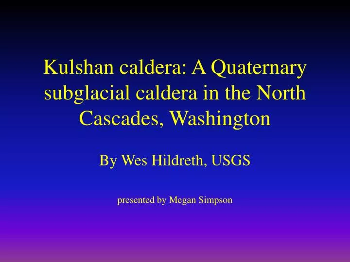
Kulshan caldera: A Quaternary subglacial caldera in the North Cascades, Washington. By Wes Hildreth, USGS presented by Megan Simpson. Cascade Range. Quaternary calderas are rare in Cascade Range (>1800 volcanoes, 3 calderas) Most Pacific arc ranges have many more

E N D
Kulshan caldera: A Quaternary subglacial caldera in the North Cascades, Washington By Wes Hildreth, USGS presented by Megan Simpson
Cascade Range • Quaternary calderas are rare in Cascade Range (>1800 volcanoes, 3 calderas) • Most Pacific arc ranges have many more • Three Quaternary calderas are: • Holocene Crater Lake • Rockland ash • Kulshan
Location map • 4.5 X 8 km • steep-walled, cylindroid • >50 km3 of magma erupted • collapsed and filled with >1000m of rhyodacite ignimbrite (explosive flow deposits) • single event in early Pleistocene • lies NE base of Mt. Baker, west of Mt. Shuksan
Geologic Setting • Three types of precaldera rocks enclose the caldera • rocks from the Chilliwack group (metavolcanic, metasedimentary) north, south end • Nooksack Formation (argillite, sandstone, conglomerate) west end • Lake Ann stock (granodiorite) east end • During collapse, these materials became incorporated into intracaldera ignimbrite
Geologic Map of Kulshan Basement: KJn Nooksack, mvs Chilliwack, gd granodiorite plutons (+) glacial erosion at Table Mt, Lasiocarpa Rdg * indicate andesite vents
Lookout! A Glacier! • Topography has been obscured because of glacial erosion (Pleistocene Cordilleran ice sheet) • Ice spread southward from British Columbia • lowered rim of basement rocks • stripped precaldera lavas • removed outflow • produced 1180m of intercaldera relief
Intracaldera Ignimbrite • Massive, unstratified, pumice-rich tuff • Mostly white to pale gray, poorly sorted, structureless • Product of single collapse and fill (probably took only a few hours) • Original surface preserved near south margin • Eroded elsewhere, incised by gorges • Probably exceeded 30km3
Within the walls... • Collapse breccias • Dispersed lithic fragments • Pumice • Upper tuff is unusually fine-grained • Units grade upward into ash
Fallout • Caldera eruptions always produce tons of fall deposits - usually 20% of total volume erupted • In North Cascades, no fallout survived because of glacial erosion • But most likely fell over vast area of Canada and US • Recognized only in southern Puget lowland (~200km south)-Lake Tapps tephra
Lake Tapps tephra • East of Tacoma • Most likely from Kulshan caldera fallout • mineral assemblage identical to intracaldera pumice • microprobe analysis of glass is chemical match • Consists of unreworked primary fallout • Volume of fallout difficult to estimate, but probably represents ~ 33km3 of magma
Lake Tapps Cont. • Deposited in periglacial settings • Ash layer rests on glacial outwash or is within lacustrine sequences of laminated silt and clay • Pollen indicates herb-dominated tundra environment • Authors believe eruptive center of North Cascades completely covered by ice sheet-this explains lack of ash in the north
Intracaldera Sediments • ash-dominated • thick as 120m • overlie fine-grained ignimbrite in the SW • rich in calcite, clays and pyrite • cut by numerous andesitic and silicic dikes • no evidence for fluvial, beach, glacial processes has been seen • main facies suggest steep-walled basins • sediments from ignimbrite rim and crumbling walls
Postcaldera Rhyodacite Lavas • rest directly on intracaldera ignimbrite and ashy sediments • original extent may have been up to 12 km2 • compositionally, similar to pumice • massive and slabby/blocky jointed • glacial erosion stripped most away or badly altered • age range of 1.1-1.0 Ma
Postcaldera Andesites • at least 50 dikes cut ignimbrite, sediments and rhyo-lavas • olivine, pyroxene, and hornblende andesite • no systematic orientation • many contain pyrite • none extend out of caldera fill
Structure of Kulshan • steep-walled cylindroid • was filled with ignimbrite during brief, continuous event • not known if subsided in piecemeal or piston fashion • scarcity of lithic fragments in ignimbrite suggests relative coherence • not resurgent
Migration of Magma • magma moving southwestward for the past 4 my • moved from Hannegan caldera in NE (4 Ma) to Lake Ann (2.7 Ma) to Kulshan (1.1 Ma) to Black Buttes-Mt. Baker (0.5 Ma) • represents rate of 5-6 mm/yr
Conclusion • Question: why are there only three Quaternary calderas in the Cascade arc? These factors may play a role: • Cascade crust thicker than most • plate convergence relatively slow • key may be to understand processes that favor upper-crustal storage over magma throughput but MORE STUDY IS NEEDED