Download
1 / 31
320 likes | 908 Vues
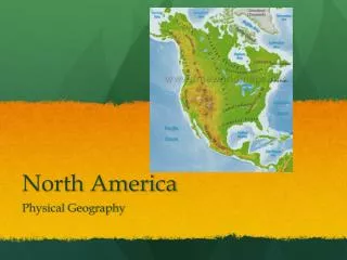
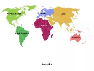
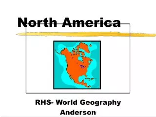
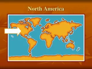
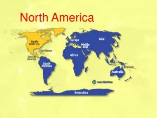
North America. North America Geographical Facts. North America is the 3 rd largest continent, containing 16.5% of the earth’s total land area. North America is the 4 th most populous continent with a population around 515 million .

E N D
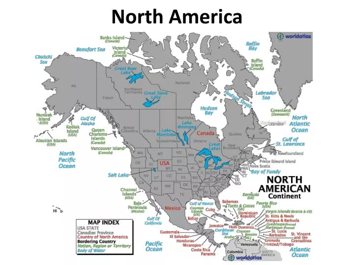
North America Geographical Facts • North America is the 3rd largest continent, containing 16.5% of the earth’s total land area. • North America is the 4thmost populous continent with a population around 515 million. • North America’s largest city is Mexico City, Mexico(over 8.8 million people). • The highest point in North America is Mount McKinley/Denali in Alaska (20,320 feet above sea level) • The lowest point is Death Valley in California (282 feet below sea level). • The Mississippi /Missouri River System is the largest river system in North America and the fourth largest river system in the world.
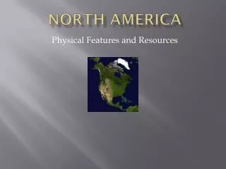
Four Great Physical Regions of North America • The four great physical regions of North America are: • Canadian Shield • Great Plains • Mountainous West • Varied Eastern Region that consists of: • Appalachian Mountains • Coastal Plains
The Canadian Shield • The Canadian Shield is the largest area of exposed rock on the face of the earth. • The Canadian Shield covers half of Canada and extends down into part of the U.S. (1.7 million square miles). • The Canadian Shield is an area of poor soil but is very rich in mineral resources and other natural resources.
The Great Plains • The Great Plains extends from Alberta, Saskatchewan down into Mexico (1.4 million square miles). • The rainfall of the Great Plains increases as you go west to east. • The western portion of the Great Plains lies in the rain shadow of the Rocky Mountains. • The Great Plains produces 25% of the world’s grains.
Mountainous West • The various mountain ranges of the Mountainous West extend from Canada all the way into Mexico – its also known as the Cordillera. • The major range of the region is the Rocky Mountains. • This area is the continental divide of North America. • This region is also home to the Grand Canyon, the world’s largest gorge, which is a deep, narrow canyon (277 miles long, 18 miles wide and up to 1 mile deep).
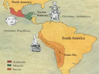
The Early Americans • The first Americans migrated from Asia during the Ice Ages thousands of years ago. • They spread across N. America and developed societies based on the natural environment of the area they lived in. • The first civilizations developed in the Mesoamerica region because it was the first area to support agriculture. • Over time, North America was colonized by various European colonies, and the cultures of these early societies blended in with the various European cultures that were brought over – this is known as cultural convergence.
The U.S. and Canada • The two largest countries of North America are Canada and the U.S. • Both countries share many cultural and economic similarities. • Both have varied economies and are highly industrialized. • Both are world leaders in the standard of living of their populations.
Canada • Canada is known as the Great White North. • Canada is the second largest country in the world but has a relatively small population (around 34 million). • The majority of Canada’s population lives near the southern border due to the harsh climate of the north.
Canada’s Culture • Over half of Canada’s population lives in an area that stretches from Lake Erie along the St. Lawrence River that is known as Main Street. • The majority of Canada’s population is of European descent but there is also a large Asian population along the Pacific Coast. • The predominate religion of Canada is Christianity. • Canada has two official languages – English and French – making the nation bilingual.
The United States • The U.S. is a fragmented country – it is broken up by either another country or an international body of water. • The forty-eight states that are physically connected are called the contiguous states or the Lower 48. • The U.S. is the fourth most populous country in the world, with a population of around 315 million. • Christianity is the predominant religion of the U.S. • The U.S. does not have an “official” language but the predominant one is English.
Middle America • The area of North America that extends from Mexico to Panama is known as Middle America or Central America. • Combined with South America, it is also known as Latin America. • This region is an isthmus, which is a narrow strip of land that connects two larger land masses (about 40 miles wide at its most narrow point).
Central America • Most of the countries of Central America have either faced or are still facing poverty and political instability. • Historically they had agrarian economies but are becoming more diversified today. • Christianity is the predominant religion of Central America, primarily Catholicism. • The predominant language of Central America is Spanish.
The Panama Canal • One of the most important features of Central America is the Panama Canal. • Built by the U.S. Army Corp of Engineers between 1905 and 1914, its 40 miles long and has an 85 foot change in elevation. • The U.S. owned the canal until the year 2000, when they gave it back to Panama. • The Panama Canal connects the Atlantic and Pacific Oceans and is a very important trade route.
The Islands of the Caribbean • The islands of the Caribbean are sometimes called the West Indies because when Christopher Columbus discovered them, he believed he was in the Indies Islands (East Indies) that are located in the Pacific. • These islands can be divided into two groups: • The Greater Antilles – the big islands of Cuba, Hispaniola, Jamaica and Puerto Rico • The Lesser Antilles – the Lesser Antilles are an archipelago, which is a group or chain of islands
The Greater Antilles • Culturally, all of the islands of the Greater Antilles have a Spanish heritage except for Jamaica, which was controlled by Great Britain (it didn’t gain its independence until 1962). • Poverty and political instability have been problems in the past, especially Haiti, which is the poorest country of the Western Hemisphere. • All of these islands are independent countries except for Puerto Rico, which is a territory of the U.S.
The Lesser Antilles • The Lesser Antilles are also known as the Pirate Islands. • The Lesser Antilles are small in size and population and rely mainly on tourism. • Poverty is a problem for the inhabitants of the Lesser Antilles because much of the money from tourism doesn’t stay in the islands.