Download
1 / 27
320 likes | 713 Vues
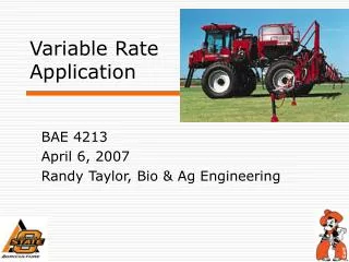
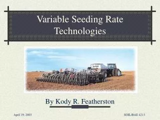
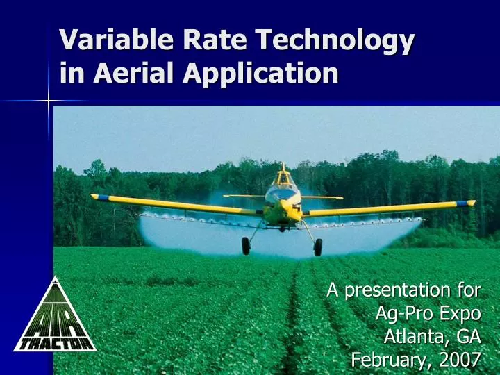
Variable Rate Technology in Aerial Application . A presentation for Ag-Pro Expo Atlanta, GA February, 2007. VRT utilizes improvements in multiple technologies. Aircraft GPS Swath Guidance Aerial imaging and Prescription Maps Dispersal System. Air Tractor aircraft. Leader in the industry

E N D
Variable Rate Technology in Aerial Application A presentation for Ag-Pro Expo Atlanta, GA February, 2007
VRT utilizes improvements in multiple technologies • Aircraft • GPS Swath Guidance • Aerial imaging and Prescription Maps • Dispersal System
Air Tractor aircraft • Leader in the industry • Turbine-powered aircraft ranging from 400 to 800 gallon capacity
Air Tractor aircraft • Highly productive • Can efficiently treat a variety of field sizes, application rates, and ferry distances
Spray Pattern / Drift Minimization • Extensive research to design optimal boom and nozzle placement • Excellent spray pattern; aerodynamically clean fuselage reduces turbulence and drift potential
GPS – Swath Guidance • Main players: Satloc and Del Norte merged to form Hemisphere Air • GPS adopted by majority of aerial applicators • Flow control capability has been in place for past decade. • Aerial VRT started 2003
Imaging / Prescription Maps • In Time • Digital Infrared Aerial Imagery • Scout Map to Prescription Map in minutes • John Deere Agri-Services • Wilbur Ellis
Imaging / Mapping Research • USDA Agricultural Research Service conducting Remote Sensing Studies with an Air Tractor for: • Weed detection • Detection of insect habitat • Insect and disease damage • Nutrient status • Determining the onset of plant water stress using thermal imagery
Camera status indicator GPS Video monitor External GPS antenna (opt.) Remote VMS SATLOC GPS Fiber optic cable Camera Air Tractor 402B Digital Video Instrumentation
Johnsongrass Spurges Cotton in rows Weed detection:Original image
Weed detection:Processed image Red = Johnson grass Yellow = Spurge Green = Cotton Black = Unclassified
Dispersal Systems for VRT • Engine-driven Hydraulic Spray System: Kawak Aviation Technologies • Controls flow rate by varying speed of pump • Rate changes in milliseconds • Zero-rate capable • Cost: app. $50,000 • Paired with AutoCal flow controller by Houma Avionics
Dispersal Systems (cont.) • DC Powered Electric System • Controls rate by an electric valve, such as Satloc Aerial Ace • Rate changes are slower than with full hydraulic system • Zero rates are controlled by a separate hydraulic shutoff valve • Cost: app. $27,000
Nozzles for VRT • Veri-rate by Spray Target • Designed specifically for Variable Rate Aerial Application • Keeps droplet size within proper spectrum regardless of pressure
AE-50 Nozzle • Pressure variation from 30 – 60 PSI • Flow rate variation from 0.3 to 3.0 GPM • Rate change response time is .25 seconds
Advantages of Aerial VRT • Accuracy: USDA study (Smith & Thomson, 2005) • Flowrate error due to flow controller: .77% • Flowrate error due to rate change timing: 3.04% • Faster than ground application • No crop damage from wheel tracks • Cost savings from reduced chemicals • Environmental benefit
Accuracy of Aerial VRT Prescription Map Actual Applied
Accuracy of Aerial VRT Prescription Map Actual Applied
0 gpa 1 Lowest Biomass 0 gpa 2 2.5 gpa, Pix @ 10 fl oz, Bidrin @ 5.13 fl oz, Boron @ 2.5 fl oz 3 3.0 gpa 4 3.0 gpa 5 4.0 gpa 6 4.0 gpa, Pix @ 16 fl oz, Bidrin @ 8.2 fl oz, Boron @ 4.0 fl oz 7 Highest Biomass Variable Rate (VR) PGR/Insecticide/Boron Application Location: Arkansas Delta Crop: Cotton Field Size: 422.01 Acres Imagery Acquired: July 5, 2004 VR Treatment Applied: July 8, 2004 Chemical Cost of Variable Rate Application: $5.85/Acre Blanket application equivalent to the 3 gpa rate: $9.39/Acre. Cost savings: $3.54/acre Scout Map Prescription Map
Insecticide Application As Applied Prescription Map 264.14 acres 1 gal = 216.59 acres No Spray = 47.54 acres 18% Chemical Savings
Rx & As-Applied 0 gallons 2.3 gallons 3.0 gallons Cost Savings of VRT Scout Map Prescription As-Applied 917.74 Acres Pix on cotton Saved $5.06 / Acre Versus 3 gal / Acre Blanket
Applications & Future Growth • Aerial VRT being used in Texas, California and Mississippi Delta • Applications • Cotton: Pix and Defoliation • Rice: Fertilizer and Insecticide • Trees (fruit & nut) • Dry Application: • great interest; still in early stages • Mississippi State Univ. working to measure application rate • Current Research for rapid, real-time imaging and conversion to prescription • Map in one pass, Spray in second pass
Thanks for your attention! For more information contact: Kristin Edwards, VP Sales airmail@airtractor.com www.airtractor.com