Download
1 / 13
130 likes | 233 Vues
Leveraging Online Maps to Teach Next Generation Standards in Earth Science. Using onlne maps to aggregate good teaching resources Roger Palmer Bishop Dunne Catholic School Dept Chair Roger@gisetc.com. The Next Generation Standards:.

E N D
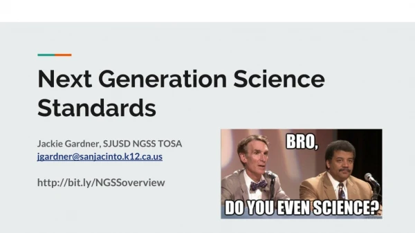
Leveraging Online Maps to Teach Next Generation Standards in Earth Science Using onlne maps to aggregate good teaching resources Roger Palmer Bishop Dunne Catholic School Dept Chair Roger@gisetc.com
The Next Generation Standards: guide student knowledge toward a scientific and coherent view of the natural sciences focus on a limited number of core ideas… to avoid shallow coverage and allow teachers and students to explore each idea in greater depth. encouragelearning science and engineering via integration of content knowledge to scientific inquiry and engineering design.
Online Maps Accessible to Any Browser ArcGIS.com/home Map button opens a great search tool and map view
Online Maps Access Authoritative Data Think iTunes for spatial data but for free (public accounts) This online system has encouraged many government agencies to publish their data in this one location.
Or Data From The Web :budburst.org/data Project BudBurst. 2013. Project BudBurst: An online database of plant phenological observations. Project BudBurst, Boulder, Colorado. Available: http://www.budburst.org; Community Attribution: http://budburst.org/attribution.php; Accessed: April 14, 2013.
Or Served in Curriculum Packagesedcommunity.com/Resources/ArcLessons/OWGE
We Will Continue to Pull Together Teaching Templates for the Best Resources
Thanks for Your Time With Students Questions, comments, or demo’s? Links Mentioned: Arcgis.com/home Meridian.aag.org/changingplanet Edcommunity.esri.com/resources/arclessons/owge Gisetc.com/home/map-portals/ Stay in touch! Roger Palmer - Roger@gisetc.com