Download
1 / 13
130 likes | 143 Vues
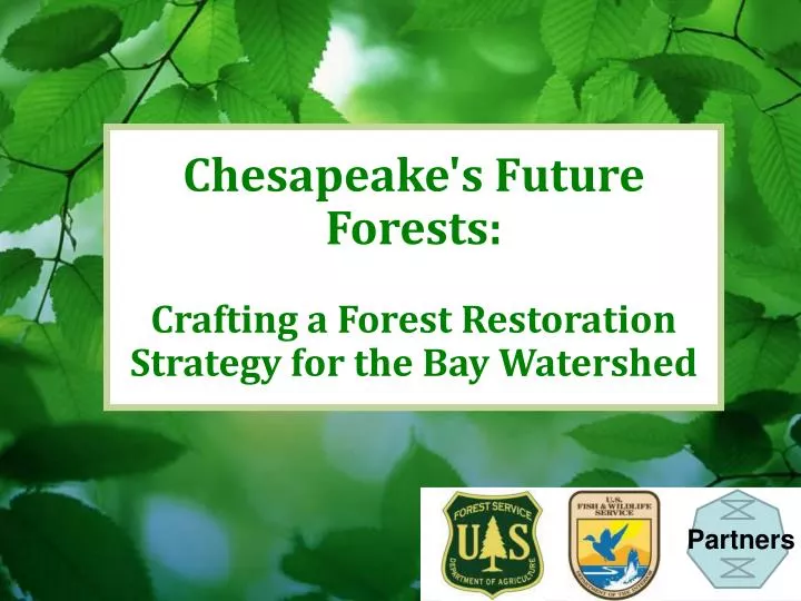
Chesapeake's Future Forests: Crafting a Forest Restoration Strategy for the Bay Watershed . Partners. Goal: Recover Habitat “By 2012, USDA will work with Dept. of Interior and other entities to develop a Chesapeake Bay watershed strategy to maximize forest restoration in priority areas… ”.

E N D
Chesapeake's Future Forests: Crafting a Forest Restoration Strategy for the Bay Watershed Partners
Goal: Recover Habitat “By 2012, USDA will work with Dept. of Interior and other entities to develop a Chesapeake Bay watershed strategy to maximize forest restoration in priority areas… ” Priority areas = Urban, green infrastructure, wildlife habitat, mine lands, brownfields, agroforestry
Why a Forest Restoration Strategy for the Chesapeake Bay watershed? • Building on successes • Responding to new opportunities • Focusing on priority areas
General Outline for Each: Five Priority Areas • Wildlife Habitat • Mine Lands • Agroforestry • Urban & Community Trees • Contaminated Sites • Whyis this a priority for forest restoration? • Where are these areas on the landscape? • How – what programs and tools are available to help? • Whatactions are needed to promote forest restoration in these areas? (will help guide Forestry Workgroup and partner priorities)
MINE LANDS • Coal mine lands exist in high value Appalachian forest habitat, headwaters of Chesapeake Bay • Post SMCRA reclamation has been predominantly grass, with high soil compaction and limited regeneration of trees • Opportunities on different types of sites: Abandoned Mine Lands, historic permitted/post SMCRA, active mining sites Note: Not recommending reforestation of ALL mine lands – some provide important grassland habitat, or ag production
MINE LANDS - HOW • Appalachian Regional Reforestation Initiative (ARRI) – provides strong science, technical guidance, and partnership strategies for reforesting mine lands • Possible Funding Sources – • Fed/state cost share (EQIP, WHIP, etc) • EPA Brownfields, 319 grants; OSM Abandoned Mine Lands • Private – foundations, utility companies seeking carbon credits • Critical role of watershed/community groups to identify reforestation sites, seek grants, and plant trees (e.g. OSM VISTA Appalachian Coal Country Teams)
Integrating Across Priorities • COAST Forest Mapping tool (USGS) will be revised with Strategy GIS layers
Next Steps • Incorporate comments from public and CBP • Issue Final Document • Develop set of FY2013 actions to be pursued with partners • Complete the companion Working Lands Conservation Strategy QUESTIONS..? IDEAS..?