Download
1 / 11
110 likes | 265 Vues
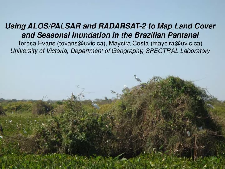
Using ALOS/PALSAR and RADARSAT-2 to Map Land Cover and Seasonal Inundation in the Brazilian Pantanal Teresa Evans (tevans@uvic.ca), Maycira Costa (maycira@uvic.ca) University of Victoria, Department of Geography, SPECTRAL Laboratory. Study Area – The Brazilian Pantanal. Importance, threats….

E N D
Using ALOS/PALSAR and RADARSAT-2 to Map Land Cover and Seasonal Inundation in the Brazilian Pantanal Teresa Evans (tevans@uvic.ca), Maycira Costa (maycira@uvic.ca) University of Victoria, Department of Geography, SPECTRAL Laboratory
Level 1 Overall Accuracy ~ 81% Highest degree of confusion between Savanna class and both Forest, and Grasslands/Agriculture due the high degree of cross-over between classes
Level 2 The first temporal flood distribution data of the entire Pantanal over one hydrological cycle
Current research...(new and improved!) Fine spatial resolution 12.5m L and C-band dual-season for Nhecolândia sub-region; Additional dates and addition of dual-season 50m for coarse resolution Pantanal flood analysis for 100m
Will be used for:1) ongoing local habitat studies in the region (marsh deer, jaguar)2) Baseline data for monitoring3) Important information to aid in defining conservation areas
Acknowledgements Ancillary Data SAR Imagery FUNDING! Questions? FOR MORE INFORMATION… Contact me (Teresa Evans) email: tevans@uvic.ca Or visit my website: http://mapping.uvic.ca/spectral/our_people/t_evans