Download
1 / 17
170 likes | 359 Vues
GPS SKY. What is the Sky Doing Today?. Objective. Summary of Topics. - Importance of Planning - Review how GPS Calculates Positions - Check Out The Sky - Planning Ahead. Planning the GPS Day. Recreational GPS is very forgiving

E N D
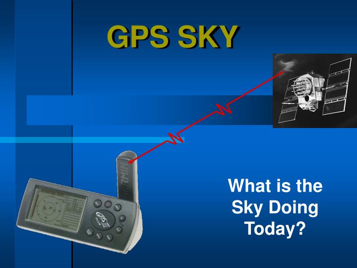
GPS SKY What is the Sky Doing Today?
Summary of Topics - Importance of Planning - Review how GPS Calculates Positions - Check Out The Sky - Planning Ahead
Planning the GPS Day • Recreational GPS is very forgiving • It’s for fun! Not for worrying about PDOP,SNR,Mask Angle,blah blah… • Designed to Work inside your Pocket! • Still important - as will be demonstrated
JTRACK • Tracking a GPS Satellite Vehicle (SV) • One of 29 • 12,000 miles up • 6000 mph http://liftoff.msfc.nasa.gov /RealTime/JTrack/3D/JTrack3D.html
Review How to Calculate a Position Measure the Distance to the Satellites
Review How to Calculate Distance Speed of Light x Travel Time Distance Time signal left satellite Current time
Minimum # of Satellites Required 4 Unknowns Require 4 Satellites time ...……………… (1) satellite latitude ……………. (1) satellite longitude .…………. (1) satellite elevation …..…….… (1) satellite 4 Satellites = 3D Good 3 Satellites = 2D BAD A Garmin will allow 2D positioning! Watch Out!
PDOPPosition Dilution of Precision -Want tetrahedron as large as possible - Want index as low as possible
Garmins View of Mapping Garmin Says... GO FOR IT! - PDOP = 99 - SNR = 2 - Mask Angle = 5 º Typical Mapping Grade GPS Settings PDOP = 6 SNR = 6 Mask Angle = 15º
PDOP / DOPPosition Dilution of Precision Rules of Thumb PDOP of 6 or Less - Good DOP of 3 or Less - Good Garmin III Plus Screen Garmin only Shows DOP That’s 1/2 of PDOP
Tools for Predicting - Software: From CD </software/TrimblePlanSoftware or http://www.trimble.com/planningsoftware_ts.asp Almanac File: See PDF on How To: CD</software/TrimblePlanSoftware
PDOP and Visibility Graphs Instructor Runs Trimble Planning Software for Today
It’s Your Decision Reasons not to plan Reasons to plan • Plenty of satellites • In a hurry to go • Limited control • Must collect now • More efficient • More economical • Forewarned
Plan Ahead Steps You Can Take • External Antenna • Wait till Good Sky Returns • Offsets • Map Using other Means?
Break • Coming Up • GPS Sky • Garmin Setup • Get Outside!