Download

1 / 9
90 likes | 95 Vues
This update covers the progress made in Phase 2 of the scenario planning project, specifically focusing on the land use model. It includes information on the received regional data set, adjustments made to place types and growth capacity, as well as the creation and testing of the land use model with the attractors/repulsors matrix. Additionally, updates on the TREDIS-TDFM connections, coordination with HRPDC on sea level rise data, and the launch of the Scenario Planning module on the website are mentioned. The tentative schedule, funding update, and next steps for Phase 3 are also outlined.

E N D
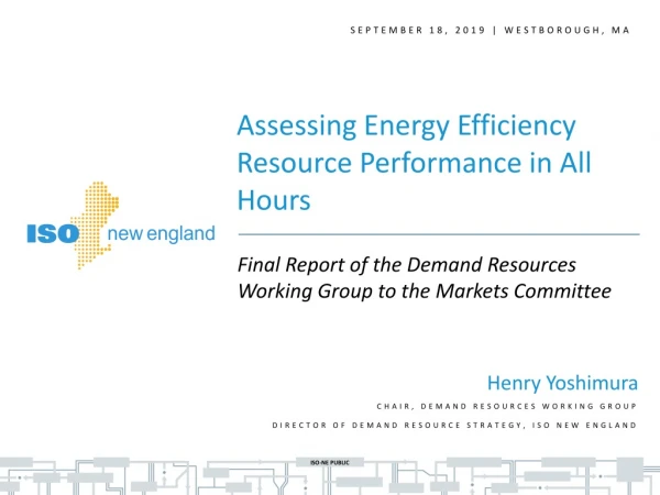
WORKING GROUP MEETING September 18, 2019
Phase 2 Update – Scenario Planning Land Use Model • Place Types • Received full regional data set in early August • Able to use these place types and adjust capacity for Greater Growth scenarios, rather than using a new set of place types as originally proposed • Allows for flexibility in growth capacity while remaining true to underlying comp plans • Diversity of future place types appears to support ability to vary scenario growth allocations • Compiled suitability factors • Created attractors/repulsors matrix for scenario place types • Testing the land use model with the matrix and making adjustments • Received growth control totals for “16% Greater Growth” allocation from HRPDC (next slide)
Phase 2 Update – Scenario Planning • Configured TREDIS – TDFM connections and parameters • How are certain things defined? (i.e., “no congestion”, freight network, tolls, etc.) • Defining inputs into TREDIS from TDFM, with parameters (i.e., regionwide, peak period) • Coordinating with HRPDC on sea level rise/inundation data. As discussed with Working Group, using 3’ sea level rise inundation • Currently building dashboard for display of model outputs and results
Phase 2 Update – Scenario Planning • Travel Demand Model • Reviewed and provided comments on VDOT’s 2015 and 2017 models • Awaiting modified versions of 2015, 2017, and 2045 models • Website • Launched Scenario Planning module – August 9 • Tentative Schedule (next slide)
Phase 3 Scope of Work • Attachment 6A – Draft Scope • Attachment 6B - Comments • Attachment 6C – Traffic Analysis Software Comparison
Next Steps • Finalize scope • Prepare budget estimate • Prepare draft schedule • Hold Working Group Meeting – October 10 • Recommend approval of scope, budget, and schedule before Steering Committee meeting Nov 5 • Seek HRTPO Board approval