Download
1 / 22
220 likes | 360 Vues
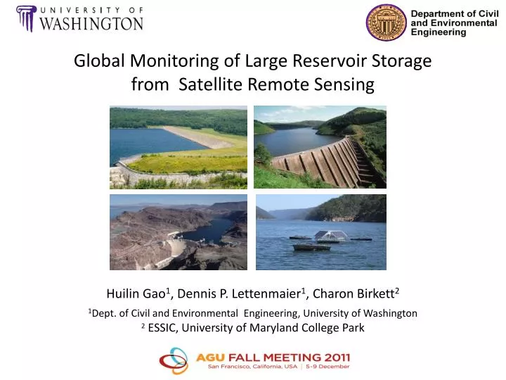
Global Monitoring of Large Reservoir Storage f rom Satellite Remote Sensing Huilin Gao 1 , Dennis P. Lettenmaier 1 , Charon Birkett 2 1 Dept. of Civil and Environmental Engineering, University of Washington 2 ESSIC, University of Maryland College Park. 1. Outline.

E N D
Global Monitoring of Large Reservoir Storage from Satellite Remote Sensing Huilin Gao1, Dennis P. Lettenmaier1, Charon Birkett2 1Dept. of Civil and Environmental Engineering, University of Washington 2ESSIC, University of Maryland College Park
1 Outline • Background and challenges • Selecting retrievable reservoirs • Data and methodology • Water classification using MODIS NDVI • Level-area relationship • Storage estimation • Validation of results for U.S. reservoirs • Satellite-based global reservoir product
2 Background and Challenges Water surface level USDA Global Reservoir and Lake Elevation Database French Space Agency’s Hydrology by Altimetry (LEGOS) European Space Agency (ESA) River & Lake • Limitations of altimetry products • Only retrieve heights along a narrow swath determined by the footprint size • Satellite path must be at least 5km over the body of water • Complex topography causes data loss or non-interpretation of data Future opportunity: The Surface Water Ocean Topography mission (SWOT)
3 Background and Challenges Water surface area × No dynamic water classification product available • ?? Most currently available multi-reservoir surface area estimations are from a hybrid of sensors (Landsat, MODIS, ASAR) • lack of consistencylack of validation Objective A validated reservoir water area dataset which is based on observations from the same instrument and classified using the same algorithm is essential MODIS 16-day global 250m vegetation index Unsupervised classification MODIS (or Moderate Resolution Imaging Spectroradiometer) is a key instrument aboard the Terra (2000~) and Aqua (2002~) satellites
4 Reservoir Surface Levels from Altimetry LEGOS: 36 USDA: 15 UW (T/P):20 Total: 62 T/P: Topex/Poseidon (1992-2002)
5 Reservoir Selection A total of 34 reservoirs (1164 km3 , 15% of global capacity) Good quality altimetry product 3+ years overlap between altimetry data and MODIS Reservoir is not excessively surrounded by small bodies of water
6 Method: Water Classification 2000~2010 250 images Fort Peck Reservoir NDVI NDVI<0.1 water land Raw classification
7 Method: Water Classification 2000~2010 250 images Fort Peck Reservoir NDVI<0.1 NDVI frequency of the 250 classified images Pixel frequency of the 250 images 10 15 20 25 30 35 40 45 50 55 60 65 70 (%)
7 Method: Water Classification 2000~2010 250 images Fort Peck Reservoir NDVI<0.1 NDVI Create a buffer area Pixel frequency of the 250 images
7 Method: Water Classification 2000~2010 250 images Fort Peck Reservoir NDVI<0.1 NDVI A mask within which classifications are to be made Pixel frequency of the 250 images
8 Method: Water Classification Fort Peck NDVI 2000/06/26 Fort Peck NDVI 2005/06/26 NDVI NDVI -0.2 -0.1 0 0.1 0.2 0.3 0.4 0.5 0.6 0.7 0.8 0.9 -0.2 -0.1 0 0.1 0.2 0.3 0.4 0.5 0.6 0.7 0.8 0.9 Fort Peck water 2000/06/26 Fort Peck water 2005/06/26 dry wet Unsupervised classification Majority filter
9 Method: Level-Area Relationship Storage Estimation Vo = Vc – (Ac+Ao)(hc-ho)/2 Fort Peck Reservoir hoAo Ao ho MODIS Vo = f(ho) or Vo = g(Ao) Variables at capacity from Global Reservoir and Dam database (Lehner et al., 2011) Altimetry
10 Method: Storage Estimation Fort Peck Reservoir altimetry estimated MODIS estimated Vo=f(ho) Ao inferred from ho(Altimetry) MODIS Vo=g(Ao): ho inferred from Ao(MODIS) NDVI Altimetry
11 Method: Storage Estimation Fort Peck Reservoir altimetry estimated MODIS estimated Vo=f(ho) Ao inferred from ho(Altimetry) 216 km Vo=g(Ao): ho inferred from Ao(MODIS) NDVI
12 Method: Storage Estimation Fort Peck Reservoir altimetry estimated MODIS smoothed MODIS estimated Vo=f(ho) Ao inferred from ho(Altimetry) Vo=g(Ao): ho inferred from Ao(MODIS)
13 Method: Storage Estimation Fort Peck Reservoir altimetry estimated MODIS smoothed When there is an overlap, altimetry based storage estimation is chosen for the final product
14 Evaluation of Results observation altimetry estimated MODIS smoothed • Other validated reservoirs: Lake Powell, Lake Sakakawea, and Fort Peck reservoir • Altimetry level from http://www.legos.obs-mip.fr/soa/hydrologie/hydroweb • Observed area inferred from observed level and storage
15 Global Reservoir Product 60N 30N EQ 30S 60S 160 120 80 40 0 (km3) 180 120W 60W 0 60E 120E 180 1992 1995 1998 2001 2004 2007 2010
16 Global Reservoir Product 60N 30N EQ 30S 60S 200 160 120 80 40 0 (km3) 180 120W 60W 0 60E 120E 180 1992 1995 1998 2001 2004 2007 2010
17 Global Reservoir Product 60N 30N EQ 30S 60S 100 75 50 25 0 (km3) 180 120W 60W 0 60E 120E 180 1992 1995 1998 2001 2004 2007 2010
18 Conclusions • An unsupervised classification method was applied to the MODIS vegetation index data to estimate reservoir surface area from 2000 to 2010 • Level-area relationships were derived for each of the 34 reservoirs, such that the remotely sensed depth and area can be used jointly to maximize observation length • The estimated reservoir storage, surface area, and water level were validated by gauge data over the five largest US reservoirs • A 19-year consistent global reservoir dataset (including storage, surface area, and water level) was derived • The remotely sensed reservoir storage estimations can be used for operational applications and hydrologic modeling of water management
Acknowledgements For altimetry products USDA Global Reservoir and Lake Elevation Database French Space Agency’s Hydrology by Altimetry (LEGOS) For reservoir configurations Global Reservoir and Dam (GRanD) database For gauge observations US Army Corps of Engineers, Bureau of Recreation This research was supported by NASA grant No. NNX08AN40A to the University of Washington under subcontract from Princeton University Contact: hgao@uw.edu