Download
1 / 16
160 likes | 303 Vues
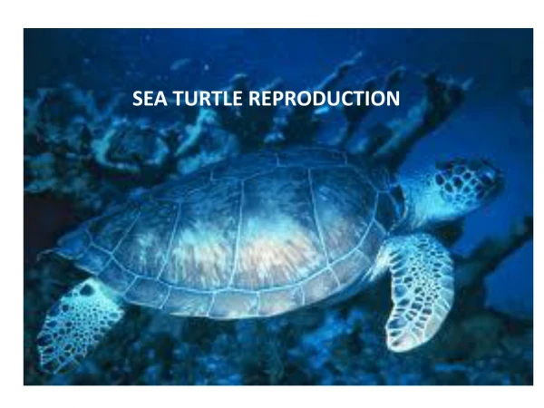
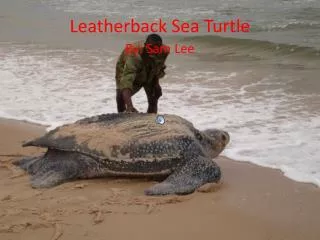
FBHCP Sea Turtle Habitat Mapping Draft Methods for Review. Prepared by A. Knight, FNAI, 22 October 2013. Sea Turtle Habitat Maps in FBHCP. All sea turtles mapped as a group Maps intended to represent 2010 ground conditions

E N D
FBHCP Sea Turtle Habitat Mapping Draft Methods for Review Prepared by A. Knight, FNAI, 22 October 2013
Sea Turtle Habitat Maps in FBHCP All sea turtles mapped as a group Maps intended to represent 2010 ground conditions Occupied Habitat within Plan Area: Used for incidental take calculation, estimating impacts over 25 years All Habitat: Mitigation, minimization, TBD
FBHCP Plan Area FDEP Coastal Construction Control Line in 25 Counties. Monroe County also included for Coastal Erosion Areas.
FBHCP Plan Area occurs from CCCL seaward to 2010 Mean High Water Line and excludes Federal Lands.
Sea Turtle Habitat Definition Geographic Extent Rule 62B-55.003 (Marine Turtle Nesting Areas), FAC Scientific investigations have demonstrated that marine turtles can nest along the entire coastline of the state. Historical data are not sufficient to exclude any county as an area utilized by marine turtles for nesting. For the purposes of this rule, however, the coastal areas of the state utilized, or likely to be utilized, by marine turtles for nesting include all beaches adjoining the waters of the Atlantic Ocean, the Gulf of Mexico, and the Straits of Florida and located within …(26 counties)…; and all inlet shorelines of those beaches.
Sea Turtle Habitat Definition Physical and Biological Features The shore-normal or perpendicular extent of sea turtle nesting habitat is defined as the area of sand or zone of unconsolidated material that extends between the MHWL and the landward toe of the frontal dune crest where there is a marked change in material or physiographic form, or to the line of permanent vegetation, usually the effective limit of storm waves or the seaward extent of a structure, as defined by FAC rule 62B-33.002 (60). Plus addition of vegetated areas up to 10m landward of the permanent vegetation line.