Download
1 / 24
240 likes | 422 Vues
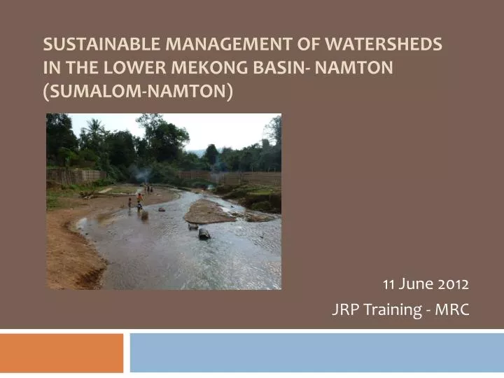
Sustainable Management of watersheds in the lower Mekong Basin- namTon (SUMALOM- Namton ). 11 June 2012 JRP Training - MRC. Project History. 2007: general agreement (KfW, GTZ, LNMC, MRC) 2007: Feasibility study 2009: Appraisal mission and revision of project set up

E N D
Sustainable Management of watersheds in the lower Mekong Basin- namTon(SUMALOM-Namton) 11 June 2012 JRP Training - MRC
Project History 2007: general agreement (KfW, GTZ, LNMC, MRC) 2007: Feasibility study 2009: Appraisal mission and revision of project set up TC partner project completed in May 2011 and shifted to neighboring Nam Song Watershed --- Lao Priority basin 09/2010: Project start ( Inception Phase: 10/2010-03/2011)
Project Information Supported by the German Government (BMZ) through KfW. DWR under MoNRE is Project Executing Agency and DoP under MAF is Project Implementing Agency. Objective: • Communities manage their natural resources more effectively and sustainably • Farm households improve their farm and forestry production Pilot site for IWRM Sub-Basin Implementation in Lao PDR
Project Information Target Groups: • Population in the Nam Ton Watershed • Govt. officials and local authorities of district and provincial levels Project Duration: 7 years: 2010-17 ( including inception phase) Budget (€): Lao Con. Ger Con. Total Project part I 505,511.- 4,612,919 5,116,430 Project Part II / 500,000 500,000 Total 503,511.- 5,112,919 5,616,430
Project Area 70Km northwest of VTE, upper part belongs to HH District (9 villages) and Lower part in ST District (34villages). ST one of the 47 poorest District in Lao PDR
Major Land Use in the Project Area Total area is 80,000 ha
Existing Farming System Rain-fed lowland paddy farming system: found in middle and lower reaches of the area. This system intensively applied fertilizer and pesticides ---influencing water quality of Nam Ton River Upland rice (shifting cultivation): Mainly practiced by poor ethnic families, causing erosion and reduced infiltration on the watershed, leading to increased sedimentation.
Project Outputs PP1: covers all project measures within the project area and is carried out by the GoL and local population Output 1: Communities are assisted to establish and execute sustainable village based land use planning Output 2: Farmers are supported to use appropriate farming systems Output 4: (new) Multi-stakeholders Watershed Management Process is established
Project Activities Activities under Output 1: NRM • Watershed and village development planning • Participatory Land Use Planning (PLUP) • Registration of land certificate for household and communities (both agricultural and forest land) • Natural resource management and management of Protected Areas • Support to Kum Ban Centres
Project Activities Activities under Output 2: Farming System • Capacity building on district and farmers’ level • Irrigation systems and paddy development • Rangeland management • Aquatic resource management • Tree plantation development • Micro-finance system for small-scale productive investments
Project Activities Activities under Output 4: IWRM • Mainstreaming water as a natural resource by merging land and water use planning • Support water quality & quantity monitoring • Support process for multi-stakeholder watershed management (establishing and consolidating of a Watershed Committee) • Support Watershed Knowledge (Basin Profile)
Project Structure NPO (MoNRE): responsible for the overall financial management NPO (MAF): in charge of technical project implementation DPOs: coordinate Implementation on district level CO: support implementation on national and district level
Focal area for WSM About 90% of the base flow originates from the upper North-Western parts of the watershed. This is the focal intervention area for watershed management activities, including afforestation, irrigation, etc.
Afforestation • Introduce farming system integration by promoting on-farm tree plantation establishment and management • Encourage individual farmers to target degraded forest and to improve their livelihood • Areas of concern include deforested and unproductive uplands which are currently mainly covered by fallow and shrub land • Total planned area for afforestation is 1,000 ha
Intervention Approach base on slope level <5% Lowland intervention: rain-fed & irrigation paddy, cash crops, aquaculture, fruit tree plantation, forest management 6-36% upland intervention without soil conservation: upland agri. & forestry, integrating faming, pasture , fruit tree/ timber plantation and Forest Manag. 37-45% upland intervention with soil conservation: timber tree plantation, integrating farming, appropriate conservation measures to be applied > 45% Forest conversation
Irrigation and Paddy Development • Irrigation schemes in areas where shifting cultivation is practiced • Targeting areas critical for watershed functions in the upper part of the watershed • More than 350 ha for 200 HH to be benefitted by irrigation and paddy development,
Extension Service • Farming systems development is implemented through a training and extension package for smallholders and extension staff • Capacities and knowledge of staff and farmers in upland farming systems development are improved by in-country study trips, farmer-to-farmer • Technical Kum ban centres (3) are key locations for district staff to learn and exchange their skills and knowledge before disseminating them to villagers
Step-Wise Approach towards Nam Ton Watershed Management Planning