Download
1 / 8
80 likes | 264 Vues
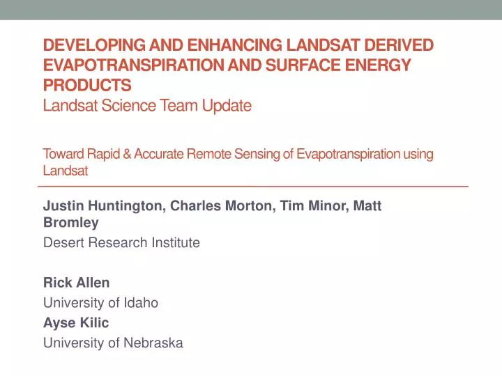
DEVELOPING AND ENHANCING LANDSAT DERIVED EVAPOTRANSPIRATION AND SURFACE ENERGY PRODUCTS Landsat Science Team Update Toward Rapid & Accurate Remote Sensing of Evapotranspiration using Landsat. Justin Huntington, Charles Morton, Tim Minor, Matt Bromley Desert Research Institute Rick Allen

E N D
DEVELOPING AND ENHANCING LANDSAT DERIVED EVAPOTRANSPIRATION AND SURFACE ENERGY PRODUCTSLandsatScience Team UpdateToward Rapid & Accurate Remote Sensing of Evapotranspiration using Landsat Justin Huntington, Charles Morton, Tim Minor, Matt Bromley Desert Research Institute Rick Allen University of Idaho AyseKilic University of Nebraska
Recent Work • Automation of Thermal Based Energy Balance Modeling for accurately estimating ET • METRIC • Integrating and testing automation using LEDAPS at surface reflectance and cloud mask products • Ingesting NLDAS gridded surface weather data products and validating against native veg. and agricultural weather station data • Conditioning NLDAS data to represent agricultural conditions where needed • Why Automation and Rapid Processing? Big need to provide answers and solutions in a timely and costly manner
METRIC using ArcGIS, Python, & GDAL Traditional sensible heat flux METRIC model in Erdas • Easier operation • Entire model is run from command line using a single input file • Improved documentation • All processes and parameters are saved to a log file • Python • Open source / open platform programming language • Installed with ArcGIS 10 • All ArcGIS functions can be called directly from Python scripts • GDAL • Open source / open platform GIS libraries • ArcGIS is expensive for i in range(6): u*(u, z, zom, psi_z3) rah(z, psi, u*, ex_res) l(dt, u*, Ts, rah) psi_z3(l, z3) psi_z2(l, z2) psi_z1(l, z1) if stable(): break Clipped Python version of METRIC sensible heat flux model
METRIC Automation Benefits • Monte Carlo calibration uncertainty of METRIC ET estimates • Example of per field calibration variability in Mason Valley, NV
METRIC Automation Benefits • Team is collaborating with NASA Ames/Cal State Monterey Bay (Forrest Melton) • METRIC Python is running on the NASA Earth Exchange (NEX) high performance computer and testing ET in Central Valley, CA • Goal - Run METRIC for entire states / years in one shot, BUT with human QAQC and oversight
Groundwater Recharge Change, Fernley, NV – Took ~ 2 Weeks of Time • Refining existing groundwater model of Fernley, NV, for analyzing reduced irrigation recharge pumping impacts on TDS capture • Past estimates were simply based on a percentage of the diversion volume and adjusted during the calibration process • Used METRIC ET estimates from irrigated lands to compute recharge from irrigation from 2001 – 2010 during a period when irrigation degreased significantly due to conversion to houses Recharge 2001 Recharge 2010
“Reduced ET from Tamarisk Defoliation along the Lower Virgin and Muddy Rivers” – Took Grad Student 2 weeks to complete and present poster • Classified defoliated areas using a multi-temporal spectral angle mapper approach • Tamarisk ET estimated using METRIC for 2011 in defoliated and non-defoliated Tamarisk areas • Estimated total water savings from defoliation along Lower Virgin River in 2011 = 1,200 ac-ft = $10,000,000! (@$ 8,000 /ac-ft) Typical Healthy Tamarisk Defoliated Tamarisk
Summary • Rapid and batch scene processing is allowing us to answer critical water resource questions in a timely and costly manner • Future testing on super computers • Incorporating and conditioning gridded weather data (WRF, NLDAS, NARR, etc..) • Cloud masking and gap filling to replace lost data • Time integration between Landsat scenes to develop seasonal ET