Download
1 / 20
200 likes | 348 Vues
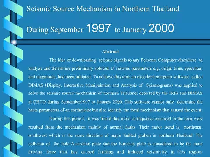
Seismic Source Mechanism in Northern Thailand During September 1997 to January 2000. Abstract

E N D
Seismic Source Mechanism in Northern Thailand During September 1997 to January 2000 • Abstract • The idea of downloading seismic signals to any Personal Computer elsewhere to analyze and determine preliminary solution of seismic parameters e.g. origin time, epicenter, and magnitude, had been initiated. To achieve this aim, an excellent computer software called DIMAS (Display, Interactive Manipulation and Analysis of Seismograms) was applied to solve the seismic source mechanism of northern Thailand, detected by the IRIS and DIMAS at CHTO during September1997 to January 2000. This software cannot only determine the basic parameters of an earthquake but also identify the focal mechanism that caused the event. • During this period, it was found that most earthquakes occurred in the area were resulted from the mechanism mainly of normal faults. Their major trend is northeast-southwest which is the same direction of major faulted graben in northern Thailand. The collision of the Indo-Australian plate and the Eurasian plate is considered to be the main driving force that has caused faulting and induced seismicity in this region.
Potential Seismic Source Zones in Continental Asia Source : http://seismo.ethz.ch/gshap/eastasia/
Seismotectonic Map in Continental Asia Source : http://seismo.ethz.ch/gshap/eastasia/
Seismicity Map of Thailand and Adjacent Areas Source : http://www.dmr.go.th
Fault zone Latitude Longitude (N.) (E.) Chiang Saen 19.5-20.5 99.0-100.5 Mae Tha 18.5-19.5 98.5-99.5 Thoen 17.5-18.5 99.0-100.0 Phrae 17.5-18.5 100.0-101.0 Moei-Uthai Thani 17.0-18.5 98.0-99.0 Mae Hong Son 18.5-19.5 97.5-98.5 Phayao 18.5-19.5 99.5-100.5 Nan 18.5-19.5 100.5-101.5 Sukhothai 16.5-17.5 99.0-100.0 Uttaradit 16.5-17.5 100.0-101.0
Map of active faults in Thailand and adjacent areas(Lacassin et al., J. Geophys. Res., 1997)
dip fault type (deg.) 0-30 thrust 31-44 reverse 45-84 normal 85-90 strike-slip
Dip Distribution of Seismic Source Zones in Northern Thailand Fault Zone Dip (%) Average 0-30 31-44 45-84 85-90 Chiang Saen 13.33 23.33 56.67 6.67 53.01 Mae Hong Son 26.67 0.00 60.00 13.33 56.08 Mae Tha 10.00 5.00 70.00 15.00 67.76 Phayao 0.00 11.76 52.94 35.29 72.53 Nan 0.00 50.00 25.00 25.00 60.12 Moei-Uthai Thani 28.57 0.00 42.86 28.57 64.05 Thoen 10.00 20.00 63.33 6.67 56.24 Phrae 10.00 40.00 45.00 5.00 49.73 Sukhothai 0.00 33.33 66.67 0.00 45.58 Uttaradit 33.33 0.00 66.67 0.00 39.97
Seismicity and Source-Mechanism Map of Northern Thailand
The examples of particle motion analysis of events during the period of the study