Download
1 / 13
130 likes | 223 Vues
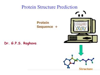
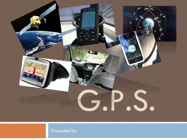
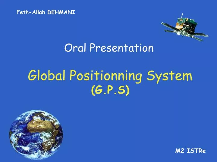
Feth-Allah DEHMANI. Oral Presentation. Global Positionning System (G.P.S). M2 ISTRe. Global Positionning System. SUMMARY. Presentation ( When ? , Where ?, Why ?...) How it works ? Applications Limits , competition. Global Positionning System. Presentation.

E N D
Feth-Allah DEHMANI Oral Presentation Global Positionning System(G.P.S) M2 ISTRe
Global Positionning System SUMMARY • Presentation (When ? , Where ?, Why ?...) • How itworks ? • Applications • Limits, competition
Global Positionning System Presentation • Invented in 1978 by USA’s defence department • Civilian using allowed in 1985 • Can position every place in Earth every time
Global Positionning System Presentation GPS Transmitters • 24 satellites • Elevation = 20,200 Km • Send orbital position and the exact time of emission
Radio transmission Data treatment Antenna Electronic card NMEA norm Global Positionning System Presentation GPS Receptor
Global Positionning System How it works How to localize ? • The receptor chooses the maximum visible satellites. For each satellite… • It saves time of sending (TOS) and time of reception of data (TOR). • Calculates T = TOR – TOS • Calculates distance D = S / T
Global Positionning System How it works How to localize ? • 1 satellite somewhere on a sphere. • 2 satellites somewhere on a cercle. • 3 satellites latitude and longitude. • 4 satellites latitude , longitude and altitude.
Global Positionning System How it works NMEA norm • Encryption which allow data processing by a computer. • Datas are sending to the computer with sentences form called frame. Exemple Latitude Longitude RMC sentence
Global Positionning System Applications Civilian use • How to reach a place ? • To locate yourself on a map (mountains, deserts…) • Agriculture
Global Positionning System Applications Military use • To guide missiles. • To chase someone.
Global Positionning System Limits, competitions • Impresisions due to the receptor intern clock. (1nS = 30 m) • USA monopoly on this systeme they can introduce errors on datas emited by satellites. • New GPS satellite have problems with data emitted • It is not consistent with data from the other generation of satellite
Global Positionning System Limits, competitions • Since 1999 : European Positionning system named Galileo • - Better accuracy : < 1m • - Inform the user within seconds of a failure of any satellite • - Ready in 2010
Global Positionning System Thank you !