Download
1 / 32
320 likes | 414 Vues
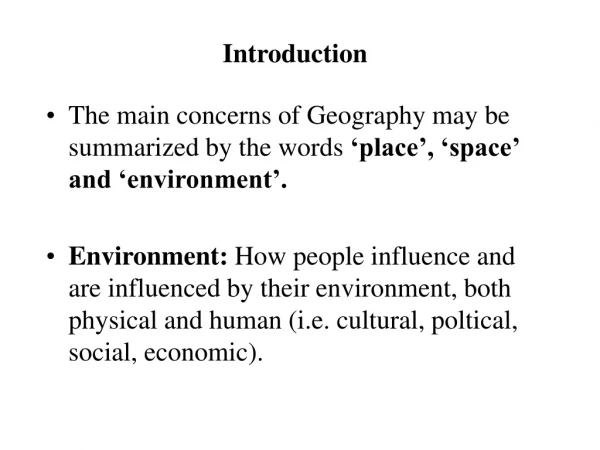
WHAT IS GEOGRAPHY?. Most people think geography is just about simply knowing where things are on a map. If the answer is “YOU BET IT DOES!” that is when geographers want to investigate!. BUT . . . does it make a difference where things are located? . BIG IDEA.

E N D
Most people think geography is just about simply knowing where things are on a map.
If the answer is “YOU BET IT DOES!” that is when geographers want to investigate! BUT . . . does it make a difference where things are located?
BIG IDEA Geographers study the WHY of the WHERE.
CARTOGRAPHY Map-Making – Geography is more than just maps!
“All maps lie flat, and all flat maps lie.” Information left ___(off) Size Color
Lesson 7 – Unit 2 MAP PROJECTIONS
Map Projection Flat Surface Geoid
Distortion • No three-dimensional shape can be transformed to two-dimensional shape without losing some detail or distorting some features: • DISTANCE • SHAPE • AREA • DIRECTION
Mercator Projection • Accurate compass direction • Distorts the area of landmasses • Works well for ocean navigation – distance is true everywhere on the map
Peter Projection • Accurate sizes of landmasses • Controversial – why?
Fuller Projection • Maintains accurate size and shape of landmasses • Completely rearranges direction – no cardinal directions
Robinson Projection • Does not maintain accurate area, shape, distance, or direction, but minimizes errors – Used in most classrooms