Download
1 / 15
150 likes | 266 Vues
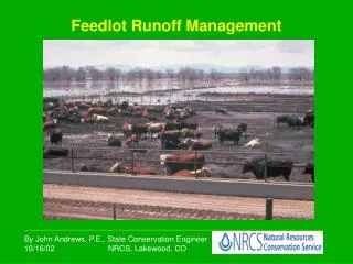
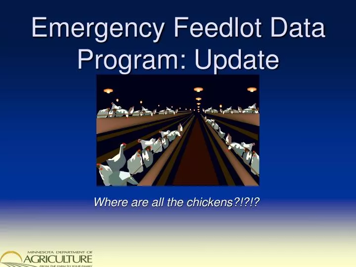
Emergency Feedlot Data Program: Update. Where are all the chickens?!?!?. Many Agricultural Threats. Disease Natural Disasters Weather Fire Other Power Failure Crime. Local. Response Infrastructure . Information. People. Equipment. Funds. State. Federal. Problem.

E N D
Emergency Feedlot Data Program: Update Where are all the chickens?!?!?
Many Agricultural Threats • Disease • Natural Disasters • Weather • Fire • Other • Power Failure • Crime
Local Response Infrastructure Information People Equipment Funds State Federal
Problem Organizations that carry information on animal agriculture facilities and feedlots: • MDA • BAH • PCA / BWSR • Counties - Not managed spatially - Not easily understood - Not easily accessible
Not Managed Spatially • Requires intermediate steps • Harder to verify & correct RESULT: Slower response, Lower confidence
Not Easily Understood • Too many attribute fields • Too many codes • Too many disparate business needs & rules • Not enough documentation RESULT: Slower response
Not Easily Accessible • Several Data Custodians • Statutory Protections • Perceived & Real Threats to Privacy • No Protocols in Place RESULT: Slower response
Proposal Update • Responders focus on the area affected with confidence • Information is usable and easy to understand • Information is accessed easily and quickly • Empower counties to manage information spatially • Set standards for data used by emergency responders • Design emergency information sharing protocols between local and state agencies
Spatially Managed? • Grants funds available, in exchange for commitment to new data standards & protocols for four years • Technical assistance and training available for: • Use of basic GIS software • “Geocoding” of address lists • Geospatial data management • Designing information conversion processes
Delegated Counties County Participants • Blue Earth • Brown • Carver • Cottonwood • Douglas • Le Sueur • Meeker • Nicollet • Norman • Polk (East) • Polk (West) • Rice • Rock • Stearns • Wabasha • Waseca • Winona
PCA & MDA Easily Understood? Convert disparate source data to meet new standards, then fuse together
MDAFTP Compilation ALWAYS ON DisasterLAN More accessible?
Next Steps • Outreach: connect technology to emergency response, agriculture • Assess capabilities; train as necessary; target resources to the highest need • Conduct test uploads and mock emergencies
Discussion and Input Mike Dolbow: (651) 201-6497 mike.dolbow@state.mn.us Ted Radintz: (651) 201-6541 ted.radintz@state.mn.us