Download
1 / 22
220 likes | 382 Vues
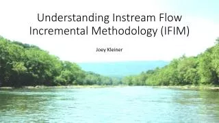
Lower Saluda River Instream Flow Study. TWC Study Team Workshop December 11, 2007. PHABSIM Study. Study Planning Locate reaches and transects Obtain channel profile and microhabitat data Develop hydraulic model Input suitability rating criteria

E N D
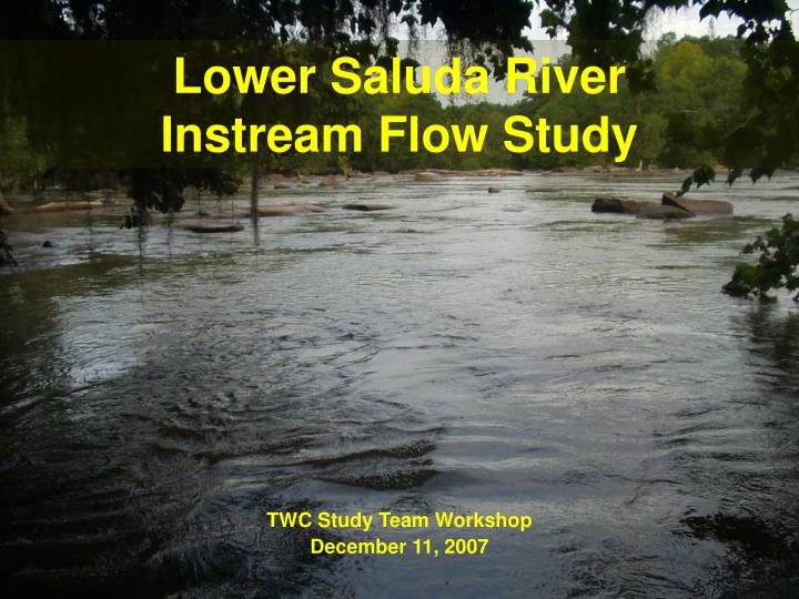
Lower Saluda River Instream Flow Study TWC Study Team Workshop December 11, 2007
PHABSIM Study • Study Planning • Locate reaches and transects • Obtain channel profile and microhabitat data • Develop hydraulic model • Input suitability rating criteria 6. Output suitability available at each flow increment of interest
TWC Site Reconnaissance • November 2006 orientation • May 2007 transect selection at 500 cfs
Data Collection • Site surveying • Bed elevation • Substrate mapping • Water surface elevation • Velocities • Stream gaging
Velocity and elevation data • Standard optical survey • Electronic flow meter • Acoustic Doppler Profiler • Trimble GPS • Level logger
Typical transect (looking downstream) headpin tailpin Top of bank Water surface Toe of bank Edge of water Thalweg
Verticals are located to capture key substrate and profile features headpin tailpin Top of bank Toe of bank Edge of water Thalweg
Verticals and cell boundaries act to divide each segment into a mosaic of known areas T-4 riffle T-3 T-2 T-1 run
Calibration data gathered across a spectrum of flows 10,000 cfs (WSL only) 1,200 or 1,600 cfs (WSL and velocities) 500 cfs (WSL and some velocities)
permits interpolation and extrapolation of hydraulics at other flows 20,000 cfs 300 cfs
Model Calibration • Establish stage-discharge relationship • Calibrate velocities • Simulate WSL’s and velocities for other flows
Depth, velocity and substrate are rated according to SI Criteria
Model output: Habitat-flow relationships for each river segment
Traditional Problem-Solving Process Compare habitat under existing flow scenarios Assess extent to which all objectives are met Evaluate trade-offs Consider alternative flows as needed Compare project operation under existing and alternate flow scenarios Re-run alternative scenarios