Download
1 / 19
190 likes | 394 Vues
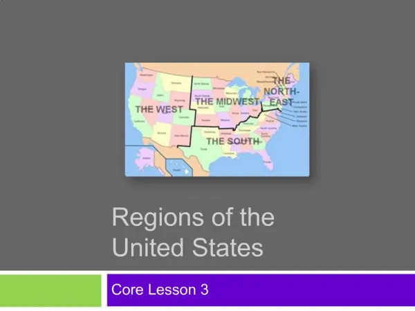
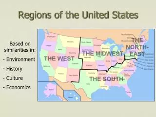
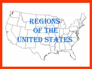
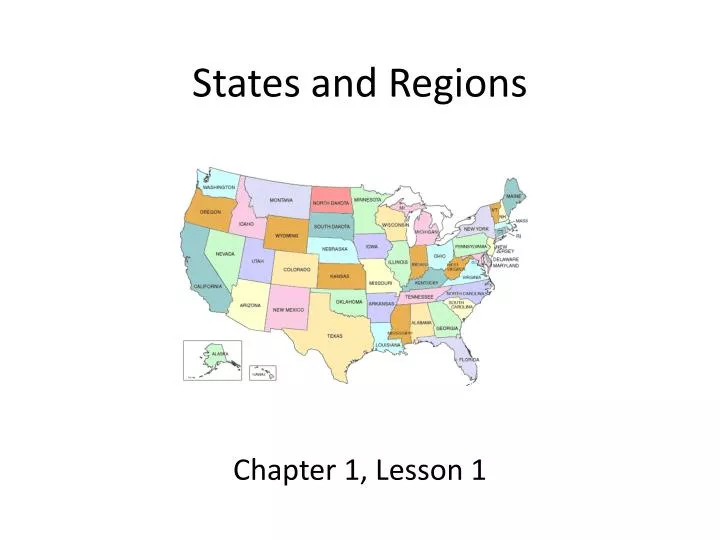
States and Regions. Chapter 1, Lesson 1. Lesson Objectives. Describe the relative location of the five regions of the United States. Identify the United States as a nation in North America. . Vocabulary. Contiguous Region Relative location Continent Population. A Nation of 50 States.

E N D
States and Regions Chapter 1, Lesson 1
Lesson Objectives • Describe the relative location of the five regions of the United States. • Identify the United States as a nation in North America.
Vocabulary • Contiguous • Region • Relative location • Continent • Population
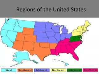
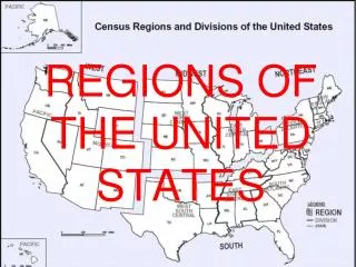
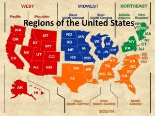
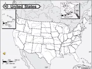
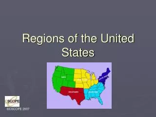
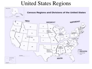
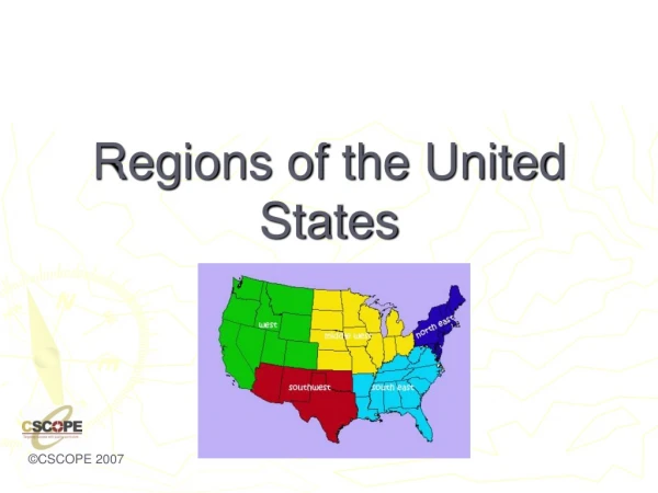
A Nation of 50 States • 48 of the 50 states are contiguous, next to each other, and share at least one border with another state. • Two states, Alaska and Hawaii, are separated from the other states. • The United States can be separated into smaller regions, areas in which many features are similar. • The states are separated into five regions. The relative location of a place is where it is compared to other places.
The West • The West Region is made up of the following states: • Alaska -- Nevada • California -- Oregon • Colorado -- Utah • Hawaii -- Washington • Idaho -- Wyoming • Montana • Industry, agriculture, ranching, mining, and tourism contribute to the region’s economy. • The West Region includes the Rocky Mountains and the Pacific Coast. • The population of the West is about 60 million people.
The West Pacific Coast Rocky Mountains
The Southwest • The Southwest Region is made up of the following states: • Arizona • New Mexico • Oklahoma • Texas • Industry, ranching, and petroleum contribute to the region’s economy. • The Southwest Region includes mountains, deserts, plains, and forests. • The population of the Southwest is about 34 million people.
The Southwest Desert Grand Canyon
The Midwest • The Midwest Region is made up of the following states: • Iowa -- Missouri • Indiana -- Nebraska • Illinois -- Ohio • Kansas -- North Dakota • Michigan -- South Dakota • Minnesota -- Wisconsin • Agriculture and farming in the countryside and industry in the cities contribute to the economy. • The Mississippi River and its major tributaries, the Missouri and Ohio Rivers, are important trade routes. • The population of the Midwest Region is about 66 million people.
The Midwest Corn Mississippi River
The Northeast • The Northeast Region is made up of the following states: • Connecticut -- New Jersey • Delaware -- New York • Maine -- Pennsylvania • Maryland -- Rhode Island • Massachusetts -- Vermont • Industry, services, and fishing contribute to the region’s economy. • It is the oldest region, home to the first American colonies and it is a very urban area (cities). • The population of the Northeast Region is about 56 million people.
The Northeast Lobster New York City
The Southeast Region • The Southeast Region is made up of the following states: • Alabama -- Louisiana • Arkansas -- Maryland • Florida -- Mississippi • Georgia -- Kentucky • North Carolina -- Tennessee • Agriculture and farming is the main focus of the Southeast Region’s economy, and has been for many years. • The Southeast Region has a combination of rural and urban areas (country and cities). • The population of the Southeast Region is about 80 million people.
The Southeast Farming Gulf of Mexico Atlanta
A Country in North America • The United States is located in the continent of North America. There are seven continents, or large land masses, that make up Earth. • The United States is one of the largest countries in North America. • You can measure the size of a country in two different ways: • land area • population (number of people) • In land area, Canada is the largest country in North America (USA is 2nd). • In population, the United States is the largest country in North America (Mexico is 2nd).
Canada • Canada is a country located north of the United States. • Canada and the United States share similar histories, as both were explored by the French and British and were once under British rule. • Fewer people live in Canada than in either Mexico or the United States. • Much of northern Canada is very cold for most of the year, and most people live near the southern border.
Mexico • In land area, Mexico is smaller than both Canada and the United States. However, Mexico has more people than Canada. • Mexico’s capital, Mexico City, is one of the world’s largest cities. • Mexico and the United States also share a history.