Download
1 / 15
150 likes | 278 Vues
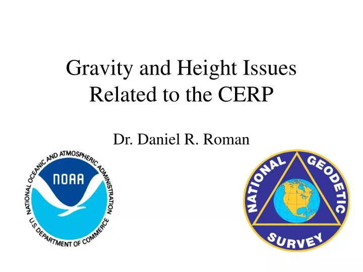
Gravity and Height Issues Related to the CERP. Dr. Daniel R. Roman. Outline. Review of height systems Available gravity observations Available GPSBM’s Impact of possible gravity errors on heights Conclusions. ITRF96/GRS-80 ellipsoid surface. NAD 83 datum. G99BM. G99SSS. GEOID99. MSL.

E N D
Gravity and Height Issues Related to the CERP Dr. Daniel R. Roman
Outline • Review of height systems • Available gravity observations • Available GPSBM’s • Impact of possible gravity errors on heights • Conclusions
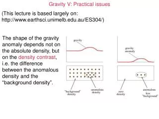
ITRF96/GRS-80 ellipsoid surface NAD 83 datum G99BM G99SSS GEOID99 MSL SST global geopotential surface Average of 52 cm NAVD 88 datum NOTE: heights are not to scale
Helmert Orthometric NAVD 88 local gravity field ( ) single datum (Father Point/Rimouski) follows MSL Normal NGVD 29 normal gravity () multiple TBM’s on both coasts doesn’t follow MSL Review of Height Systems
Schematic of Area Adjustment 1 2 A 1 3 B Loop 2 4 A C 1 Loop 7 Loop 3 B F 5 Loop 1 D 1 E C 6 Loop 6 Loop 4 E D 1 Loop 5 1 7 F Systematic errors in <=> Least Squares Adjustment
NGS Gravity Prediction Methodology • data are modeled with polynomial equations using the multiquadric biharmonic method • Dr. Rolland Hardy (Iowa State U.-ret. prof.) • a variant on Least Squares Collocation
This gravity grid is derived from point values in the NGS gravity database. They impact both the determination of the gravimetric geoid and orthometric heights. Note the purple field at the North end of Lake Okeechobee. It represents a 20 mGal low in the local gravity field.
Note the extents of the survey in the Lake region. These are the NGS point data used to derive the previous grid.
Note the relationship between the survey extents and the gravity field features. Also note other possible regions with similar occurences.
Conclusions • Knowledge of leveled heights is necessary at the centimeter level for CERP • Gravity surveys need to be conducted along leveling traverses to validate existing values • additional gravity values will supplement later geoid and height models • contact info: Dr. Daniel R. Roman dan.roman@noaa.gov 301-713-3202 x161 http://www.ngs.noaa.gov/GEOID/