Download
1 / 14
140 likes | 312 Vues
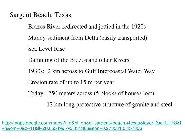
Sargent Beach, Texas Brazos River-redirected and jettied in the 1920s Muddy sediment from Delta (easily transported) Sea Level Rise Damming of the Brazos and other Rivers 1930s: 2 km across to Gulf Intercoastal Water Way Erosion rate of up to 15 m per year

E N D
Sargent Beach, Texas Brazos River-redirected and jettied in the 1920s Muddy sediment from Delta (easily transported) Sea Level Rise Damming of the Brazos and other Rivers 1930s: 2 km across to Gulf Intercoastal Water Way Erosion rate of up to 15 m per year Today: 250 meters across (5 blocks of houses lost) 12 km long protective structure of granite and steel http://maps.google.com/maps?f=q&hl=en&q=sargent+beach,+texas&layer=&ie=UTF8&t=h&om=0&z=11&ll=28.855499,-95.431366&spn=0.273031,0.457306
Sundarban Islands, Bangladesh and India Ganges River Delta Largest Mangrove forest in the world 10,000 km2, 100+ million people http://maps.google.com/maps?f=q&hl=en&q=bangladesh&layer=&ie=UTF8&z=5&ll=23.684994,90.356331&spn=18.208312,29.267578&t=h&om=1
0.5 meter sea level rise displaces at least 6 million people