Download
1 / 19
190 likes | 371 Vues
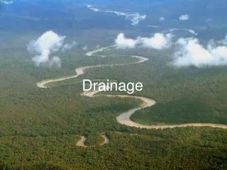
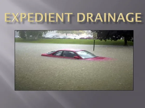
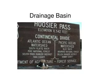
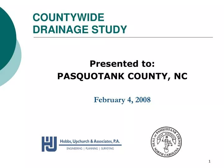
COUNTYWIDE DRAINAGE STUDY. Presented to: PASQUOTANK COUNTY, NC February 4, 2008. Objectives of the Countywide Drainage Study:. Defining WMDs and their critical drainage areas. Identifying funding sources for improvement of drainage ways.

E N D
COUNTYWIDE DRAINAGE STUDY Presented to: PASQUOTANK COUNTY, NC February 4, 2008
Objectives of the Countywide Drainage Study: • Defining WMDs and their critical drainage areas. • Identifying funding sources for improvement of drainage ways. • This presentation will focus on the correction of the Watershed Management boundaries.
Watershed Boundary Correction Boundary Correction • The WMD boundaries were corroborated using LIDAR data, site visits, and personal interviews with WMD representatives.
NEWLAND BOUNDARY CORRECTION A total of 493 acres were added to the Newland WMD. • A 330-acre parcel extending southward from the vicinity of Mill Pond Rd. and US 158 was removed from the Upper Pasquotank watershed and added to Newland. • A 163-acre parcel that ultimately drains to the Pasquotank River thru Newland.
PERQUIMANS WMD Boundary Correction • 171 acres were transferred from Perquimans to the Upper Pasquotank WMD from topography defined by LIDAR.
Corrected Boundary Perquimans WMD
36 acres 4838 acres 3702 acres KNOBBS CREEK Boundary Correction 8576 acres from the Knobbs Creek were assigned to Upper Pasquotank
UPPER PASQUOTANK Boundary Correction- Major Changes (8576 acres added) • The majority of the change involved adding land east of North Road Street (US 17 Business) and south of Main Street Extended formerly assigned to Knobbs Creek. • 330 acres formerly in the Upper Pasquotank watershed was moved to Newland. • The revised total area of the Upper Pasquotank watershed district is 21,882 acres
Charles Creek WMD No Boundary Correction
Upper Little River Minor Boundary Correction
Lower Little River WMD Boundary Correction The Lower Little River and Flatty Creek WMDs were adjusted following recommendations from Mr. Maurice Berry, who farms the area and is a watershed advisory member.
Flatty Creek WMD Lower Little River 410 ac added 509 ac removed
Newbegun WMD • No boundary Correction
Summary Corrected WMD Areas (acres) Newland: +493 21,179 Perquimans: -171 9,088 Upper Pasquotank: +8,576 21,882 Knobbs Creek: -8,576 19,392 Lower Little River: +99 19,764 Flatty Creek: -99 9,409
HUA Thanks Pasquotank County and the Watershed Advisory Board • Reuben James: • Flatty Creek and Newbegun • Maurice Berry: • Lower Little River • Pat McDowell: • Charles Creek • Steve Harris: • Upper Little River, Kobbs Creek and Upper Pasquotank • Grayland Ridick: • Perquimans/Newland • John Spence: • Newland/Perquimans