Download
1 / 28
280 likes | 360 Vues
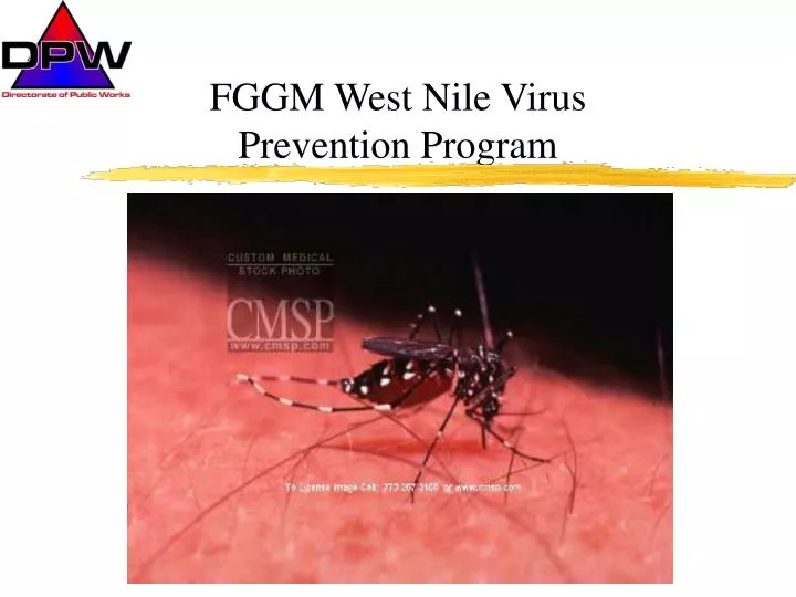
FGGM West Nile Virus Prevention Program. Site Description. Ft. Meade located almost midway between DC and Baltimore 5560 acre urban/industrial setting with open space 66 miles of paved road 1,575 buildings

E N D
Site Description • Ft. Meade located almost midway between DC and Baltimore • 5560 acre urban/industrial setting with open space • 66 miles of paved road 1,575 buildings • Golf courses, athletic fields, lawns, parade fields, playgrounds, parks, cemeteries, horse stables, wooded areas, lakes, office buildings industrial areas and residential communities
WNV Operational Timeline Initial Larviciding Follow-up surveillance Adult Mosquito Population Monitoring News Release News Release News Release Dead Bird Collection/Monitoring Compile and catalog all field data in GIS
Key Players/Responsibilities • DPW Pest Management Activity • Larviciding, habitat reduction, adult mosquito control and dead bird collection • DPW Environmental Office • News releases, information papers, larviciding permits • USACHPPM-Field Activity North • Mosquito testing, notification of WNV positive mosquito/bird submissions
Installation Preventive Medicine Activity • Mosquito trapping, mosquito pooling and submission of collected mosquitoes to USACHPPM for testing • Installation Veterinary Activity • Bird testing, notification of WNV positive birds and horse monitoring • State Dept of Natural Resources/Dept of Environment • Review and issue larvaciding permits
WNV Historical Timeline • Appeared in the summer of 1999 in NYC • Fort Meade developed a prevention program in the summer of 2000 • Primarily using spreadsheets and topo maps to track larval surveillance and larviciding • Evaluated using GIS in the summer of 2001 • Fully implemented GIS for surveillance and control in the summer of 2002
Larviciding Process • Review prior years data • Initially concentrate on previous problem areas • Systematically inspect all potential water holding areas for water and/or larvae • Dip and collect larvae as needed • Apply larvicides to all areas holding mosquito larvae and/or water • Catch basins, storm drains, temp pools, ditches, culverts, sediment holding areas, etc.
Catalog all information into GIS system • Coordinate with Public Works Activity in addressing maintenance issues • Clogged storm drains, catch basins, beaver dams, drainage problems, etc
Larviciding Permits • Latest EPA clarification on Altman v. Town of Amherst is that CWA does not require a NPDES permit for a pesticide applied consistent with all relevant requirements of FIFRA • Most state NPDES permit authorities have opted not to require applicators of pesticides to obtain NPDES permits • Some states may require toxic materials use permit
These type of permits are required/driven by state environmental laws • Maryland requires Request For Permission To Use Toxic Materials For Aquatic Life Management Purposes • Permit requires users to describe project purpose, targeted species, responsible individual, maps of proposed treatment areas and pesticide type/name/rate/amount • When in doubt, check with your state regulators
GIS Equipment/Process • Trimble GeoExplorer3 data receivers • Trimble Pathfinder Office Software • Used to set up data files in receivers • ArcView GIS software
Data Dictionary uploaded into receivers • Site • Description (manhole, inlet, standing water etc.) • Wet (yes, no) • Maintenance (good, clogged, debris) • Area ID (numeric value assigned to area) • Larvae • Present (yes, no) • Altosid Briquette ( numeric amount) • Bti Briquette (numeric amount) • Larvae collected (yes, no)
Data is collected in the field by technicians and entered into receivers • Data is downloaded from receivers back at office • Data is exported into ArcView shapefiles • Data can be queried by attributes through ArcView to select any known value in data dictionary and displayed on aerial overheads of the installation or installation CAD drawings
GIS Benefits • GIS data system is saving an enormous amount of time and reducing errors in missed survey points • Technician’s surveillance points can be easily viewed in relation to the map • Data points can be queried as to pesticide use, larvae found, storm water maintenance issues, etc. • Concentrations of larvae can be easily viewed and mosquito trapping/control efforts can be directed toward those areas
This system replaces the topo map/spreadsheet system we were using in the past to track mosquito larvae sites and larviciding efforts • Previous year’s data can be easily queried and State larviciding permitting process is less arduous • Future data layers: • Dead bird locations (species, condition, tested) • Trap locations • Trap type and trap data (mosquito count, positive pools yes/no)
2003 Overview Mosquito Surveillance Points
2003 Overview • Over 1200 individual sites were surveyed for mosquito larvae and standing water and cataloged in GIS • 311 applications of mosquito larvicide • 102 sites where larvae were found • 22 sites where larvae were collected and reared for identification purposes
Twelve areas were selected for trap placement (FGGM-PM Activity) • 754 pools of mosquitoes were submitted to USACHPPM-North for testing (FGGM-PM) • 7,960 female mosquitoes were collected over 305 trap nights • 9 birds were submitted to Vet Activity for testing (DPW) • 5 birds were positive for WNV • First bird appeared 20 Aug • Last positive bird 24 Sept
Key Program Elements • Coordination • Pre-season kickoff meetings between key players to review prior year’s data and formulate plan for upcoming season • Pest Management Activity forwarding larvae data to Preventive Medicine to guide trap locations • Preventive Medicine forwarding adult trap counts to Pest Management Activity to guide follow-up larviciding/surveillance
Communication • Brief command and installation partners early in season on WNV program, policies and procedures • Prepare news releases, fact sheets and keep community informed • Implementation • Proper timing of larviciding efforts • Complete initial coverage of storm water management system
Follow up • Consider efficacy of larvicides used during initial application and plan follow up applications • Review trap counts and perform follow up surveillance/larviciding in areas with high counts
A WNV Prevention Program consisting of intense surveillance, larval habitat reduction, larval treatment and continuous adult population monitoring can be successful without major, wide-spread adult mosquito pesticide application programs (area fogging)
Intense surveillance, adult population monitoring and GIS analysis of data allows us to precision target small areas for treatment with backpack, thermal or hydraulic sprayers
Questions? Kevin R. Fay Installation Pest Management Coordinator Directorate of Public Works Environmental Management Office Fort George G. Meade, Maryland fayk@emh1.ftmeade.army.mil 301-677-6023/2521