Download
1 / 15
150 likes | 253 Vues
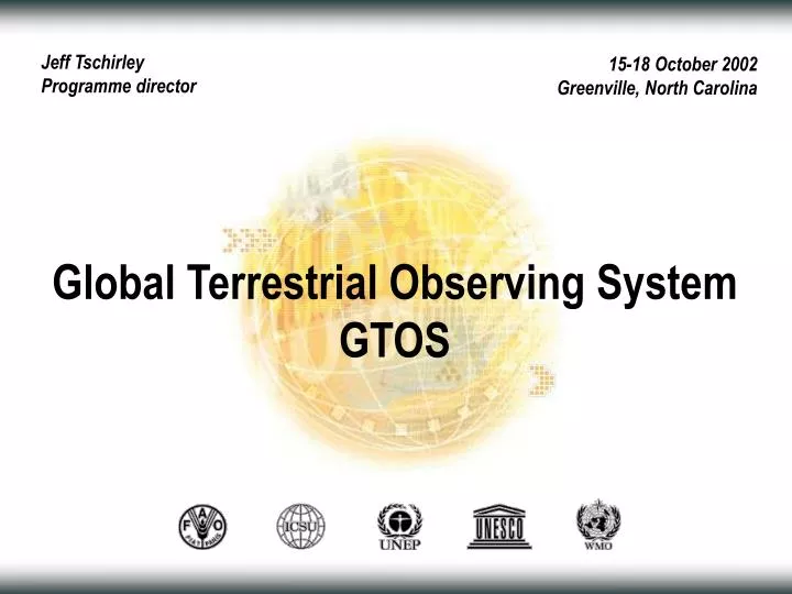
Jeff Tschirley Programme director. 15-18 October 2002 Greenville, North Carolina. Global Terrestrial Observing System GTOS. Outline. GTOS programme: Terrestrial climate observations Terrestrial carbon observations Forest and land cover dynamics Terrestrial Ecosystem Monitoring Sites

E N D
Jeff Tschirley Programme director 15-18 October 2002 Greenville, North Carolina Global Terrestrial Observing System GTOS
Outline • GTOS programme: • Terrestrial climate observations • Terrestrial carbon observations • Forest and land cover dynamics • Terrestrial Ecosystem Monitoring Sites • Challenges
GTOS programme Mission • Facilitates access to information on terrestrial ecosystems • Seeks to detect, understand and manage change • Collaborates with researchers and policy makers • Works with countries toward development of global and continental / regional products
GTOS programme Characteristics of activities • Produce validated data and information products with known accuracies • Stimulate advances in the assembly, use, management and exchange of large terrestrial datasets • Promote common data processing standards and interpretation methods • Support systems that provide both research and operational information on a regular and sustained basis • Strengthen links between satellite and in situ data; in particular the international conventions • Identify gaps and overlaps in current and planned earth observation programs; find ways to resolve them
GTOS programme Structure
Terrestrial climate observations • How is the global climate system changing? • What are the primary factors forcing the climate system? TOPC science questions
Terrestrial climate observations Technical training • Defining terrestrial observations and methods to: • Characterize current climate • Determine rate and causes of change • Forcing and feedbacks from changing GHG concentrations • Predictive, use in assimilation models: • What to observe, when, where and at what accuracy • Generating products to understand and predict climate processes • Reporting to UNFCCC on adequacy of global observing systems (terrestrial component) Observations and modelling
Terrestrial carbon observations • 2005: estimate annual net land-atmosphere fluxes at a sub-continental scale with a 30% accuracy globally and spatial resolution (106 km2 regionally) • 2008: improve accuracy (20%) and spatial resolution (106 km2 globally) • Produce sink/source maps with the highest spatial resolution enabled by the available satellite-derived and other input products (~ 1 km2 or less) An IGOS initiative with the following objectives
Terrestrial carbon observations • Hierarchy of spatial scales • Dual-constraint approach • Predictions are compared to estimates made from observations • Estimate regional fluxes and uncertainties Principles
Terrestrial carbon observations • Satellite: land cover and use, biomass, leaf area, fires, solar radiation, atmospheric column (CO2, CH4) • Atmospheric: near surface GHG concentration, surface fluxes • In Situ: Carbon pools and changes Key observation requirements
Forest and land cover dynamics • Forest and land cover characteristics and change • Fire monitoring and mapping • Biophysical processes GOFC-GOLD teams
Forest and land cover dynamics • Operational forest and land cover monitoring system • Improved satellite and in situ validation • Strengthening regional networks • Central and southern Africa • Southeast Asia • Boreal zones Next steps
Terrestrial Ecosystem Monitoring Sites Web directory of 1,600 sites and 55 networks in 110 countries that carry out long-term terrestrial ecosystem monitoring of 110 variables Who, what, where http://www.fao.org/gtos/tems
Challenges • Build strong, effective groups to secure support for operational terrestrial monitoring (satellite and in situ) systems as already exist for oceans and the atmosphere • Enhance the collection and use of data, moving from supply to demand-driven systems • Define the terrestrial observational requirements jointly with the user community • Design and implement observation and information systems with measurements of known accuracy and quality to demonstrate what is needed and why it is worth doing Terrestrial science community
Questions and answers GTOS Secretariat www.fao.org/gtos gtos@fao.org tel: +39 06 5705-2565 fax: +39 06 5705-3369