Download
1 / 24
240 likes | 457 Vues
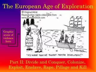
Age of European Exploration. 1487-1616. Follow the instructions in this PowerPoint VERY CAREFULLY!. Instructions. Using this PowerPoint, map how European exploration played out on a global stage. You will need the following colored pencils: Green for Portuguese explorers and territories

E N D
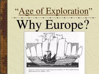
Age of European Exploration 1487-1616
Follow the instructions in this PowerPoint VERY CAREFULLY!
Instructions Using this PowerPoint, map how European exploration played out on a global stage. You will need the following colored pencils: • Green for Portuguese explorers and territories • Yellow for Spanish explorers and territories • Red for British explorers and territories • Blue for French explorers and territories • Orange for Dutch explorers and territories Use the correct colors for each of the following steps: STEP 1: Map the countries of origin STEP 2: Map the explorers’ routes STEP 3: Map the territories they claimed STEP 4: Mapping reflection questions If the country of origin is not on the map, simply read the text on the slide for the country of origin and start the arrow there. Not all explorers start from their country of origin and that is fine. Your arrows do NOT have to be perfect. You simply want an idea of where explorers came from and which lands they explored/ claimed.
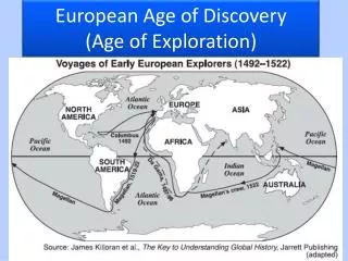
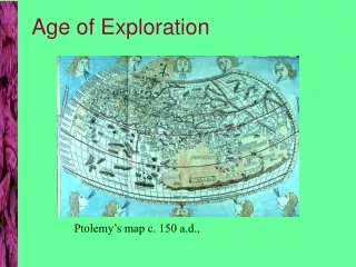
STEP 1: Map countries of origin. Check out the world map as we know it. On your map label and color the countries of origin: Portugal green, Spain yellow, United Kingdom/ Great Britain red, France blue, and the Netherlands (Neth.) orange. Also, label the oceans.
STEP 2: Map explorers’ routes. • Now, use each of the following slides to help you trace each explorer’s route onto your map with the correct color. • Then, use a pen to label the route with their name. • Green for Portuguese explorers • Yellow for Spanish explorers • Red for British explorers • Blue for French explorers • Orange for Dutch explorers • Some of the explorers may not begin directly from their country of origin and that is fine. • Your arrows do NOT have to be perfect. You simply want an idea of where the explorers came from and which lands they explored/claimed.
Dias 1487-1488 from Portugal
Cabot 1497 and 1498 from Great Britain
NOTE: Ponce de Leon’s route started in Haiti and not his country of origin, Spain. Draw what you see on the map above. Map Ponce de Leon only (yellow) 1513 from Spain
Map Cortes only 1519-1535 from Spain NOTE: Make Cortes’ route yellow on your map even though it is red on this map. He also did not start from Spain.
Pizarro 1522-1529 From Spain NOTE: Obviously, Pizarro did not start directly from Spain either.
NOTE: Did not start directly from Spain 1539-1544, de Soto, from Spain
1604-1607 De Champlain From France
Henry Hudson 1609 from Great Britain 1610 from the Netherlands
NOTE: Did not start directly from France. 1609-1616 de Champlain from France
You are now done mapping the explorers, but you are not done yet…
STEP 3: MAP THE TERRITORIES THEY CLAIMED • Use the following map to color the different empires established in the Americas by European powers. • Only label the empires of… • Portugal • Spain • France • Great Britain • The Netherlands (Dutch) • *Make sure that you use the correct colors! They do not correspond with the colors used on this map.
STEP 4: MAPPING REFLECTION Answer the questions on the back of your map (they are also written here): Which European country seems to have the best location? Why did that country get an advantage? What makes their territories the ‘best’? Which European country has the worst or weakest location? Why did that country miss out? What makes their territories the ‘worst’? Do you think the size of a country’s empire relates to how powerful that country is? Why or why not? What are the long term effects of Cabot’s exploration along the east coast of modern-day United States, Champlain’s exploration in Quebec, Pizarros’ exploration in modern-day Peru, and Cabral’s exploration of Brazil? (HINT: hello, bonjour, hola, ola)