Download
1 / 10
100 likes | 202 Vues
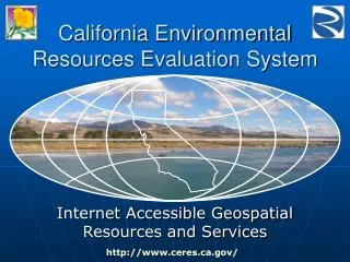
California Environmental Resources Evaluation System. Environmental Information Sharing and Integration. California Environmental Resources Evaluation System. CERES. In the beginning…. CERES Services. Geospatial data library… http://gis.ca.gov/. Nearly 160,000 files comprising more than

E N D
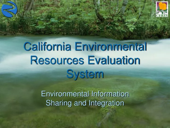
California Environmental Resources Evaluation System Environmental Information Sharing and Integration
California Environmental Resources Evaluation System CERES In the beginning…
CERES Services Geospatial data library… http://gis.ca.gov/ Nearly 160,000 files comprising more than 4TB of geospatial data online More than 75 Terabytes Served Since 2002 Environmental metadata catalog… http://gis.ca.gov/catalog/ 228 catalogs containing 11,116 records (5,298 from NRPI) from 201 organizations Interactive conservation atlas… http://atlas.resources.ca.gov/atlas/ 89 themes in 12 categories Web Map Services Registry… InteragencyNetworkedServicesIntegrating GeospatialHostedTechnology
Catalog, Navigation & Discovery Tools Metadata Catalog Spatially Enable Search Tools Web Map Services Registry Geospatial Data In Development In Production Environmental Information Clearinghouse California Environmental Information Clearinghouse Atlas State Library & Archives Geospatial Data Library Web Map Services Documents Library File Exchange Application Programming Interface (API) Search/Retrieve Catalog/Publish/Harvest California’s Environmental Community Studies, articles, books, reports, findings, surveys, databases, photos, collections, etc. Data, Catalogs, Web Sites & Services
Organizations can publish and integrate their geospatial data services… Rather than making copies of data, using SOA organizations can continue to maintain their own data bases while offering access to these as web services that can be used by any number of desktop GIS clients and Internet map viewers. Integrated Map Base Map Fire History Public Lands Stressors
INSIGHT makes it safe to share GIS data over the internet… ArcGIS, Geomedia, MapInfo Pro, open source, etc. Your Organization DMZ User Internet ArcGIS, Geomedia, MapInfo Pro, open source, etc. Spatial Server Web Server Can be configured so that users do not directly interact with data service providers Internal process for building and maintaining GIS data Registry Map Client CERES
Bond Projects Accountability Database 3/16/07 Bond Projects Accountability Database DPR Area of Responsibility CERES Area of Responsibility Prop 84 & 1E Web Site Project ID Registry Query & Report Project Seeker Map Display Client Full Project Report Bond project data entered directly into DPR system by some agencies Data Entry Forms Thick Map Client Web Services Map Editor Client Full Project Report XML Exchange Services Address Matching Services All tabular attributes stored here All spatial attributes stored here Project ID used to link data DPR Web Enabled Tabular Database CERES Web Enabled Geo-Warehouse Internal “Bonds” databases from other agencies Extract, Transform, Load & Error Check Geospatial Data Error Check Exception Reports Map Validation Map Editor Client Validation Requests Data Contacts
California GeoCommons Suggested changes communicated back to data “owners” and they decide whether to accept or reject. Changes made to source databases and propagated back to GeoCommons. Edit Layer (“sandbox”) Org 1 Objects copied into Edit layer to change Org 2 Data Extraction, Standardization and Loading Master (read only) Provide option to expose any layer as a web map service . . . Once acted on, suggested changes are removed from Edit layer and moved into the Journal layer Journal (change history, read only) Org n Base Map Layers (read only) DATA COLLBORATION GeoCommons Consideration may be given to enabling the “borrowing” of line work from base layers for work in the Edit layer California GeoCommons • Members should be able to: • See all layers including other proposed changes • Select objects from Master to change • Import shapefile into Edit layer • Import GPS coordinates into Edit layer • Do heads up digitizing in Edit layer • Edit copy of attributes Information on action taken on suggested edits communicated back to the GeoCommons. 7-25-06
Questions? John Ellison Agency Technology Officer & CERES Director john.ellison@resources.ca.gov (916) 653-2238