Download
1 / 21
210 likes | 358 Vues
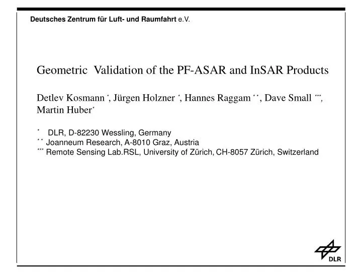
Geometric Validation of the PF-ASAR and InSAR Products Detlev Kosmann * , Jürgen Holzner * , Hannes Raggam * * , Dave Small *** , Martin Huber * * DLR, D-82230 Wessling, Germany * * Joanneum Research, A-8010 Graz, Austria

E N D
Geometric Validation of the PF-ASAR and InSAR Products Detlev Kosmann*, Jürgen Holzner *, Hannes Raggam* * , Dave Small ***, Martin Huber* * DLR, D-82230 Wessling, Germany * * Joanneum Research, A-8010 Graz, Austria *** Remote Sensing Lab.RSL, University of Zürich,CH-8057 Zürich, Switzerland
Verification Approach - Using Systemparameter (Orbit, SAR-Processor) - Ground Control Points - Corner Reflectors, Transponders - Product combination (SRTM)
Products for Verification Major Product Types for Validation ASA_IMS ASA_IMG ASA_APS ASA_APG ASA_IMM ASA_WSM ASA_GM
Methodology of Geocoding Calibration Procedure Product Input Format Control Visual Inspection Adjustment Geocoding GCP/ARC Measurement Error Analysis
Validation of IMG Products Assumptions: • SAR Processor Version 3.0.3 ( December 2002) • Predicted Orbit • Doris Orbit • FTP download from ESRIN • PAC Products from UK and D • Only Results from Processor V3.0.3 • ASA_IMG_1PXPDE20021103_210513_000000152010_00487_03547_0001.N1 • ASA_APG_1PXPDE20021109_211632_000000152011_00072_03633_0002.N1 • ASA_IMG_1PXPDE20021018_094453_000000152010_00251_03311_0004.N1 • ASA_IMS_1PXPDE20020711_095619_000000142007_00337_01894_0017.N1 • (ASA_IMS_1PXPDE20021018_094453_000000152010_00251_03311_0004.N1) • ! DORIS Orbits ! • Past: Validation of more than 50 products
Ground Control Points 85 GCP Netherland 1 :50K National Datum
Reference Data-SRTM Terrain geocoded SRTM Amplitude X –Band data Horz. Accuracy: 4m
Reference Data-DLR DLR Precise Geocoded Image: ETC
Combination of Reference and IMG’s Red: SRTM Green: 3547 Blue: 3633
Shift: ETC-IMG leer
Product: IMS 337_01894_0017.N1 Initial Geometry: Ground control points : 24 A[pxl] R[pxl] --------------------------------------------------------------- Rms 6.7 3.6 Mean -3.5 -3.1 After Adjustment and Integration of GCPs: Ground control points : 74 A[pxl] R[pxl] --------------------------------------------------------------- Rms 4.61 1.09 Mean 0 0 ! Pixel spacing in IMS geometry (A~4m, R~8m)
Product IMG 3311 Shift: 17 Pixel 212.5 m
Results for IMG products • Geometric accuracy with DORIS Orbits ~20m • Temporal consistency is not stabile • Product format check – ok • Validation only in flat terrain • Validation only in one quadrant of the globe
leer leer
Radiometry ASA_APM_1PXPDE20021106_211012 ( Saturation) ASA_WSM_1PXPDE20021123_221335_ql2 (Near-to-Farrange-Ramp)
Geometric Adjustment Shift to SRTM Shift with/without Adjustment
Maps of testareas • Geodetic parameter • ERS reference products • Terrain height (DEM) • Position of ARC‘s
Required Location of Testareas Equator Greenwich • coordinate combinations • corner reflector sites • receiving stations • ascending/descending • turning point > 5 configurations
leer leer
WP: „Verfication of input products (all modes): • Acitivity Geometry InSAR • Product format verification x - • Visual product inspection x x • Localisation accuracy x x • Swath geometry x - • Azimuth and ranging timing parameter x x • Inter-channel coregistration x - • Stripeline boundaries x - • SWST - x • Geocoding parameter x - • Orbit analysis x x • Geocoding parameter x - • Optimization x x • ? Temporal consistency ? x x • ? Radiometric resampling effects ? x -