Download
1 / 20
200 likes | 207 Vues
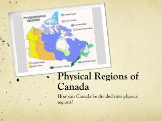
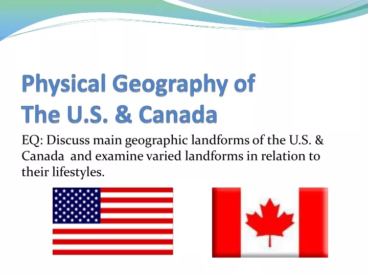
Physical Geography of The U.S. & Canada. EQ: Discuss main geographic landforms of the U.S. & Canada and examine varied landforms in relation to their lifestyles. Places & Terms for Discussion. Appalachian Mountains Great Plains Canadian Shield Rocky Mountains Great Lakes Mackenzie River

E N D
Physical Geography of The U.S. & Canada EQ: Discuss main geographic landforms of the U.S. & Canada and examine varied landforms in relation to their lifestyles.
Places & Terms for Discussion • Appalachian Mountains • Great Plains • Canadian Shield • Rocky Mountains • Great Lakes • Mackenzie River • Prevailing Westerlies • Everglades • Lock • St. Lawrence Seaway
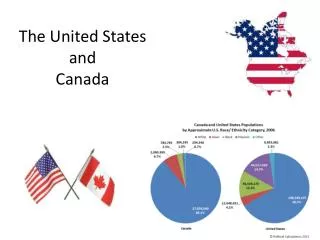
Landforms & Resources • Total Land Area • 1st place- Russia • 2nd place- Canada • 3rd place- USA • The US and Canada fill 1/8 of the land surface of the Earth.
Landforms & Resources • Both countries are rich in natural resources. • Fertile soil • Ample water supplies • Vast forests • Variety of minerals • All of these have attracted immigrants from around the world and allowed both countries to develop into global powers.
Natural Resources Examine the map of the U.S. and Canada’s resources on pg. 120 and answer the following questions: 1) What resources seem to appear the most in the U.S.? 2) Which energy resource is more widespread in Canada than in the U.S.? Why is this? 3) What are some advantages Canada and the U.S. may have as a result of their abundant resources?
Landforms & Resources • Many Varied Landforms • Eastern Lowlands: • Flat coastal plain runs along the Atlantic Ocean & Gulf of Mexico.(Atlantic Coastal Plain)
Landforms & Resources • Many Varied Landforms • Appalachian Highlands: • Gently sloping Appalachian Mts. • Have been eroded over time • Considered to be over 400 million years old
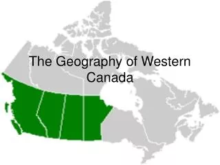
Landforms & Resources • Many Varied Landforms • Interior Lowlands: • Flattened by glaciers thousands of years ago. • Terrain varies between lowlands, hills, lots of lakes & rivers. • 3 sub-regions: Interior Plains/ Great Plains/ Canadian Shield
Landforms & Resources • Western Mountains, Plateaus, & Basins: • Rocky Mountains range 3,000 miles from Alaska south to New Mexico. • Thought to be around 80 million years old.
Landforms & Resources • Continental Divide: marks the separation between rivers flowing eastward & westward • Mt. McKinley: North America’s highest peak at 20,300ft is in Alaska.
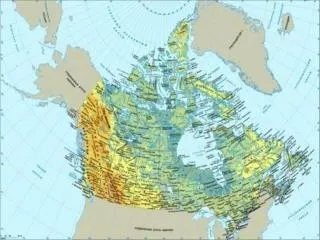
Landforms & Resources • Oceans & Waterways: • Great Lakes: • Huron • Ontario • Michigan • Erie • Superior • Forms one of the worlds most important shipping routes along with the St. Lawrence River.
Landforms & Resources • Oceans & Waterways: • Mississippi River: • River begins out of Lake Itasca in northern Minnesota • It flows 2,350 miles to the Gulf of Mexico • It drains 31 states and its watershed covers 40% of the continental US. • Once known as the longest river in the US, it has since lost that title to the Missouri River, which has had its length corrected to 2,540 miles. • Source: https://www.nps.gov/miss/riverfacts.htm • Mackenzie River: Canada’s longest river
Climate & Vegetation • Almost every climate type can be found in the U.S. because it extends over such a large area. • Canada’s cold climate is related to its location in the far northern latitudes. Some places there is permafrost, or permanently frozen ground. • Prevailing Westerlies, winds that blow from west to east in the middle latitudes, keep the summers warm and the winters mild along the Pacific Coast and coastal mountains.
Climate & Vegetation • The Everglades, found in southern Florida, has a tropical wet and dry climate is a huge swampland that covers some 4,000 square miles.
Human – Environment Interaction • Settlement: First inhabitants were nomads who moved from place to place. • Archaeologists believe they migrated from Asia over the Beringia land bridge. • Hunting & Gathering was their Primary method of food production before they began to cultivate crops.