Download
1 / 5
50 likes | 142 Vues
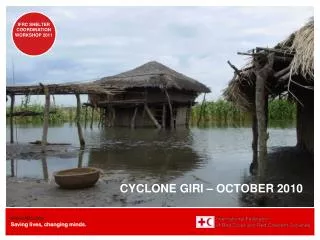
NWS Partners Meeting 2010 Tropical Cyclone Program Highlights for 2010 John Kuhn. Increase in lead times and modification of definitions for watches and warnings.

E N D
NWS Partners Meeting 2010Tropical Cyclone Program Highlights for 2010John Kuhn
Increase in lead times and modification of definitionsfor watches and warnings • Watches are issued when tropical storm or hurricane conditions are possible within the watch area. Both tropical storm and hurricane watches are issued 48 hours in advance of the anticipated onset of tropical-storm-force winds. • Warnings are issued when tropical storm or hurricane conditions are expected somewhere within the warning area. Both tropical storm and hurricane warnings are issued 36 hours in advance of the anticipated onset of tropical-storm-force winds.
(New) Saffir-Simpson Hurricane Wind Scale(http://www.nhc.noaa.gov/aboutsshws.shtml) • Public commented period conducted • Storm Surge removed • Wind impacts updated with team of wind scientist/engineers
New Surge Statements Why? People understand inundation. They do not understand tide datum. STORM SURGE FLOODING OF 6 TO 8 FEET ABOVE NORMAL TIDE LEVELS CAN BE EXPECTED ALONG THE TIDAL POTOMAC AND CHESAPEAKE BAY. STORM SURGE WILL RAISE WATER LEVELS BY AS MUCH AS 8 FEET ABOVE GROUND LEVEL ALONG THE WEST SIDE OF THE CHESAPEAKE BAY AND THE UPPER PORTIONS OF THE CHESAPEAKE BAY…AND FOR THE UPPER PORTION OF THE TIDAL POTOMAC RIVER NEAR WASHINGTON DC…AREAS SUCH AS BALTIMORE...WASHINGTON DC…AND ALEXANDRIA VIRGINIA SHOULD PREPARE FOR A SIGNIFICANT STORM SURGE DURING TIMES OF HIGH TIDE LATER TODAY.
Experimental Local Impacts Graphics for 4 Hazards(www.weather.gov/ghls)Use: Provides detailed impacts whenever tropical cyclone watches or warnings are in effect for an area • Tornadoes • Wind • Coastal flooding • Inland flooding 2010 Enhancements • Impact Graphics can be downloaded in netCDF format • WFO San Juan will also create the graphics