Download
1 / 12
120 likes | 285 Vues
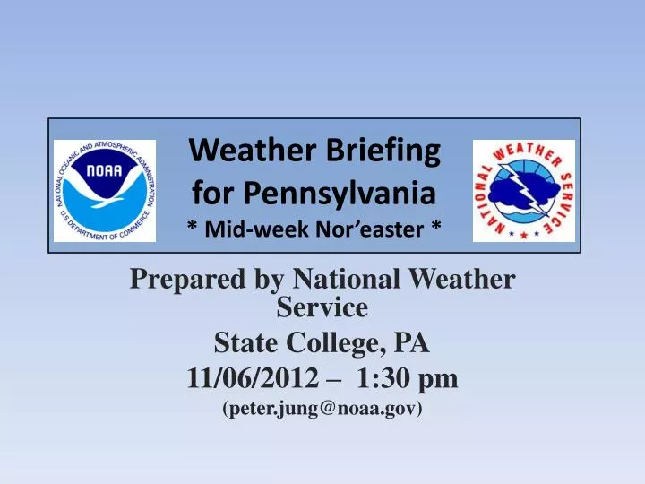
Weather Briefing for Pennsylvania * Mid-week Nor’easter *. Prepared by National Weather Service State College, PA 11/06/2012 – 1:30 pm (peter.jung@noaa.gov). Storm Overview. A Nor’easter will move up the Mid-Atlantic Coast Wednesday into Thursday

E N D
Weather Briefingfor Pennsylvania* Mid-week Nor’easter * Prepared by National Weather Service State College, PA 11/06/2012 – 1:30 pm (peter.jung@noaa.gov)
Storm Overview • A Nor’easter will move up the Mid-Atlantic Coast Wednesday into Thursday • Exact forecast track and intensity still show some uncertainty • Ultimate path and strength will dictate impacts to the Commonwealth • Greatest impacts appear focused across far eastern and southeastern Pennsylvania
Wednesday Morning Storm location Wednesday Morning
Thursday Morning Storm location Thursday Moring
2 Day Precipitation ForecastTuesday Evening through Thursday Evening
Weather Impacts • RAIN • Highest rainfall amounts will be in far southeastern Pennsylvania...with lesser amounts heading to the west and north (may be snow or rain/snow mix in these areas) • WIND • Strongest in far southeast PA • Possible wind impacts to areas affected by Sandy • Blustery conditions further inland...but not expected to be damaging
Weather Impacts • SNOW • Accumulating snow possible mainly along and east of the Susquehanna River • Highest probability over the higher elevations of the southern Poconos and Lehigh Valley
Weather Impacts • Chart depicting probabilities for 2 inchesor more of snow accumulation.
Weather Impacts - Summary • Main impacts of Storm Wednesday and Wednesday Night • Precipitation moves into southeast PA Wednesday morning...spreads north and west during the day along with increasing winds • Will continue Wednesday Night then taper off Thursday • Forecasts highly sensitive to exact storm track • IMPACTS EAST: • Strong winds, rain, some snow potential • High wind Watches for Chester, Montgomery, Bucks, Delaware and Philadelphia Counties Wednesday morning until Thursday morning • Could see winds gusting over 40 mph in far southeast Pennsylvania • Wind impacts in some of the same areas affected by Sandy • IMPACTS CENTRAL: • Some light snow or rain/snow mix possible. Ridges in the east (southern Poconos) could see a several inch accumulation...lesser elsewhere. • Blustery north winds could gust between 20 and 30 mph • IMPACTS WEST: • Breezy northwest winds. • Mainly under 20 mph.
Links to local NWS Offices serving PA • NWS Cleveland • weather.gov/cleveland • NWS Pittsburgh • weather.gov/pittsburgh • NWS State College • weather.gov/statecollege • NWS Binghamton • weather.gov/binghamton • NWS Mount Holly • weather.gov/philadelphia
Selected PA Cities Forecast Links • PITTSBURGH • http://forecast.weather.gov/MapClick.php?CityName=Pittsburgh&state=PA&site=PBZ&textField1=40.4392&textField2=-79.9767&e=0 • ERIE • http://forecast.weather.gov/MapClick.php?lat=42.12922409999999&lon=-80.085059&site=all&smap=1&searchresult=Erie%2C%20PA%2C%20USA • STATE COLLEGE • http://forecast.weather.gov/MapClick.php?lat=40.7933949&lon=-77.8600012&site=all&smap=1&searchresult=State%20College%2C%20PA%2C%20USA • WILKES BARRE • http://forecast.weather.gov/MapClick.php?lat=41.2459149&lon=-75.88130749999999&site=all&smap=1&searchresult=Wilkes-Barre%2C%20PA%2C%20USA • WILLIAMSPORT • http://forecast.weather.gov/MapClick.php?lat=41.2411897&lon=-77.00107860000003&site=all&smap=1&searchresult=Williamsport%2C%20PA%2C%20USA • READING • http://forecast.weather.gov/MapClick.php?lat=40.3356483&lon=-75.92687469999998&site=all&smap=1&searchresult=Reading%2C%20PA%2C%20USA • ALLENTOWN • http://forecast.weather.gov/MapClick.php?lat=40.6084305&lon=-75.49018330000001&site=all&smap=1&searchresult=Allentown%2C%20PA%2C%20USA • HARRISBURG • http://forecast.weather.gov/MapClick.php?lat=40.2737002&lon=-76.88441790000002&site=all&smap=1&searchresult=Harrisburg%2C%20PA%2C%20USA • PHILADELPHIA • http://forecast.weather.gov/MapClick.php?lat=39.952335&lon=-75.16378900000001&site=all&smap=1&searchresult=Philadelphia%2C%20PA%2C%20USA
Useful Web Links • Emergency Managers’ Briefing Page: • http://www.erh.noaa.gov/ctp/pema/briefing.php • AHPS Page: • http://water.weather.gov/ahps/ • Need to zoom in on your specific area • PEMA River Monitor page • http://www.erh.noaa.gov/er/ctp/pema/ • NOAA / NWS Hurricane Preparedness • Hazards: http://www.nhc.noaa.gov/prepare/hazards.php • Watches/Warnings: http://www.nhc.noaa.gov/prepare/wwa.php • Be Ready: http://www.nhc.noaa.gov/prepare/ready.php