Download
1 / 20
200 likes | 400 Vues
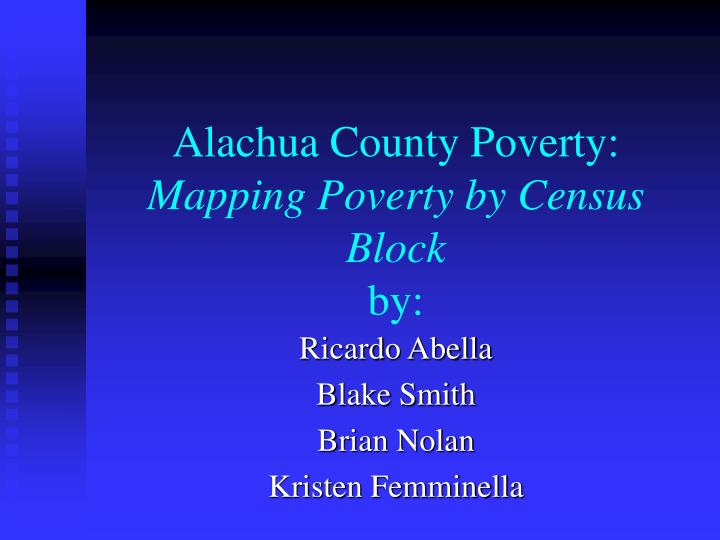
Alachua County Poverty: Mapping Poverty by Census Block by:. Ricardo Abella Blake Smith Brian Nolan Kristen Femminella. Problem Statement.

E N D
Alachua County Poverty:Mapping Poverty by Census Blockby: Ricardo Abella Blake Smith Brian Nolan Kristen Femminella
Problem Statement • Alachua county counts 24% of its population below poverty level. A spatial analysis of the distribution of poverty is needed to identify areas in need of assistance to reduce the percentage of poverty in Alachua county.
Goals • Our goal is to accurately map those impoverished people by Census Block using predefined social, economic and vulnerability indicators. Thereby illustrating the most impoverished and vulnerable people of Alachua County.
Indicators • Economic- poverty level, public assistance, housing condition • Socio Demographic- education, family composition (single/married) • Vulnerability- proximity to: schools, transit routes and hospitals
Alachua County Characteristics • 965 Square Miles in Size • Total Population: 217,955 • Sex: Male (106,405) 48.8% Female(111,550) 51.2% • Median Age: 29 • Total housing units: 95,113 (Occupied 92%) (Vacant 8%) • Owner occupied 54.9%. • Renter occupied 45.1%
Definition of Poverty (Census) Size of Family…………….………..Income 1....................................................... $9,310 2....................................................... 12,490 3....................................................... 15,670 4....................................................... 18,850 5....................................................... 22,030 6....................................................... 25,210 7....................................................... 28,390 8....................................................... 31,570 Source: http://www.census.gov/hhes/www/poverty.html
Buffers The public transportation routes, hospitals and schools have been buffered 1 mile outward illustrating areas where people lack access to public services.
Conclusion As the previous maps illustrate: • A sizable portion of Newberry and southeast Gainesville have the highest density of people either at the poverty level or vulnerable to poverty. • All people living outside the city limits of Gainesville and Newberry are more vulnerable to increased levels of poverty due to lack of proximity to city services and benefits.