Download
1 / 36
360 likes | 529 Vues
Initial Landscape Changes Associated with Marcellus Shale Development- Implications for Forests and Wildlife M. Brittingham , P. Drohan , and J. Bishop – Penn State University. Patterns of well and pad development Landscape changes pre and post Marcellus

E N D
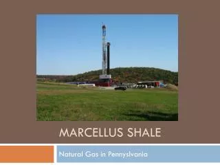
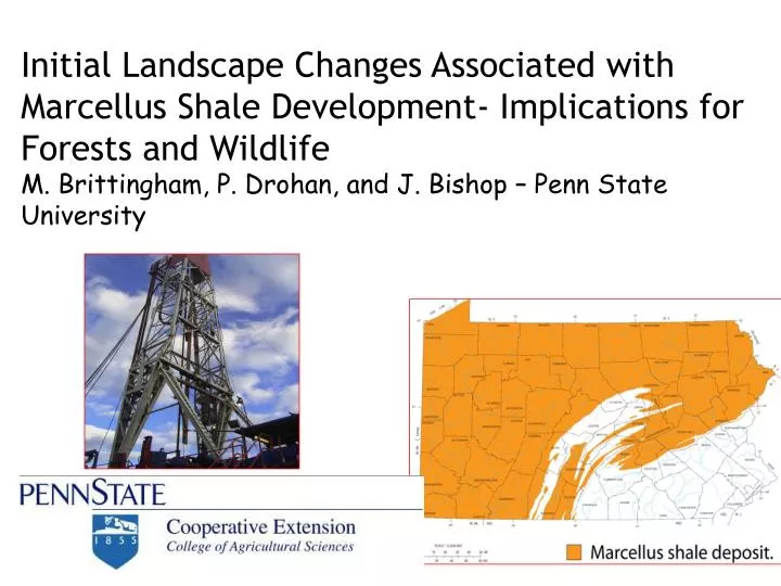
Initial Landscape Changes Associated with Marcellus Shale Development- Implications for Forests and Wildlife M. Brittingham, P. Drohan, and J. Bishop – Penn State University
Patterns of well and pad development • Landscape changes pre and post Marcellus • Implications for forests and wildlife
We conducted a GIS analysis using available DEP permit/drilled data, before and after photos, ground truthing, and on the ground measurements to describe landscape change.
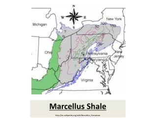
Our GIS study covers the state. Our field study is focused in a 11 county region in the Northcentral part of the state where forest habitat is most abundant
Number of permits and wells drilled increased exponentially and is now slowing down
Number of pads is a better indication of landscape change >2350 pads built
Pad location – Public land versus private land • Available resources to manage and monitor environmental conditions differ • Size of management unit differs • Bargaining ability differs • Education and information needs differ 93%
47 % of pads are in farmland. Highest numbers on private land in the NE and SW part of State
53% of pads are in forest lands with highest numbers in the North Central Regions of State
On some pads, impoundments are created to hold water for fracking
Well pad footprint and area of local disturbance GIS NAIP photos (n=1081)Mean pad = 1 ha (2.47 acres). Pad+ local disturbance= 2.7 ha (6.7 acres) Range = 0.1- 19 ha (0.25-49.4)
Number of wells per padn=2,931 wells and 1465 padsMean = 2.3 wells per pad
Noise and Light Pollution associated with pad development and drilling may have local site-specific impacts but probably not long-term effects
Tracking proximity of wells to streams is a concern. Smaller streams are generally not mapped n=3322, mean=327 m, median=293m
Distance from pad to pre-existing road n=3322, mean=264 m (0.16 miles), median=209 m, Range = 0.02m-2324 m (1.4 miles)
A min of 598 km (371 miles) of new roads have been built to pads and an additional 280 km (174 miles) expected to currently permitted pads
Bradford County Gathering Lines – Johnson et al. 2011 • 1.65 miles ( 2.65 km ) per pad • 10,000 – 25,000 new miles predicted at build out (16,093-40,233 km)
Habitat Fragmentation is a result of gas exploration and development and is a primary concern • Change in species composition and abundance (winners and losers) • Spread of invasive species • Disturbance to sensitive habitats • Negative effects on biological diversity and ecosystem functions
Pad placement by forest fragmentation classification (n=2221) • Agricultural and open habitat = 48% • Edge forest (within 100 m of pre-existing opening or edge) = 25% • Patch forest (woodlots) = 2%
Approximately 25% of wells are going into core forest (forest > 100 m from pre-existing opening or edge)
For select blocks we mapped the entire infrastructure Fragmentation Index Before =0.753 After pads= 0.681 (-0.072) After mapped = 0.580 (-0.173)
Reclamation status for 1283 pads • 84% no reclamation16% reclaimed • Pad + local disturbance went from 6.7 acres before to 1 acre after • Most reclamation to grassy cover
Comparing Effects Shallow Marcellus
Electronic Field Guide-http://marcellusfieldguide.org/ http://ee3.cei.vvvvpsu.edu/index.php
Private forest landowners are in need of information on ways to minimize disturbance upfront and on ways to use restoration to achieve landowner management goals • There is a trend toward more wells per pad but currently over 75% have only 1 or 2 wells per pad • Current trends put core forest habitat at risk particularly on private land • Public land will become increasingly important for large blocks of undeveloped habitat and the ecosystem services provided
We thank the following organizations for funding support • Heinz Endowments • Marcellus Center for Outreach and Research (MCOR) • PA Game Commission State Wildlife Grants We thank the following individuals for assistance in the field and with database analysis K. Yoder, E. Thomas, N. Fronk, E. Barton, J. Driscoll, C. Fink, M.K. Lupton, M. Marsicano, and K. Medash