Download
1 / 13
130 likes | 133 Vues
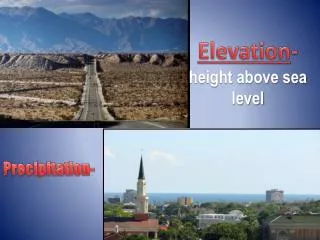
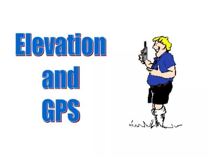
Elevation and GPS. Or : Why doesn’t my GPS elevation agree with other measurements of elevation?. The Earth is not a perfect sphere. The Earth is slightly flattened at the poles, and bulges slightly at the equator.

E N D
Elevation and GPS
Or: Why doesn’t my GPS elevation agree with other measurements of elevation?
The Earth is slightly flattened at the poles, and bulges slightly at the equator.
In addition, the surface of the Earth, even at sea level, is not flat and smooth.
Axis of Earth’s Rotation The “Geoid” represents the global, mean (average) sea level (The “actual” Earth at sea level) The “Geoid” (Exaggerated) Earth’s Center
The “ellipsoid” We mathematically represent the Earth in a theoretical model called the “ellipsoid” (a solid ellipse). Center of the ellipsoid
Axis of Earth’s Rotation The “Geoid” (Exaggerated) The Geoid and the Ellipsoid do not necessarily coincide. The Ellipsoid Center of the Ellipsoid Earth’s Center
In current models, the differences between the Geoid and Ellipsoid range from -106 m to +85 m.
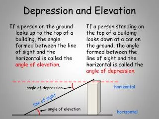
The “Geoid” Surface measurements (made by surveying) give our height above the GEOID, while GPS measurements give our height above the ELLIPSOID. The Ellipsoid
What Do We Measure? GPS measures our height above the Ellipsoid. Surveying measures our height above the Geoid. Earth’s Surface Geoid Ellipsoid
The difference you see between your GPS measurement of elevation and that determined by other methods depends, in part, on the local difference between the Geoid and the Ellipsoid.