Download
1 / 15
180 likes | 631 Vues
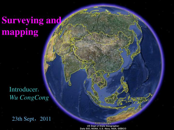
Surveying and mapping. Introducer : Wu CongCong. 23th Sept , 2011. Self-Introduction. My name is Wu CongCong , I’m from School of Surveying & Land Information Engineering , my major is surveying and mapping , my research direction is photogrammetry and remote sensing.

E N D
Surveying and mapping Introducer: Wu CongCong 23th Sept,2011
Self-Introduction My name is Wu CongCong, I’m from School of Surveying & Land Information Engineering, my major is surveying and mapping, my research direction is photogrammetry and remote sensing.
Surveying and Mapping(测绘科学与技术) • Geodesy and Survey Engineering (大地测量学与测量工程) • Photogrammetry and Remote Sensing (摄影测量与遥感) • Cartography and Geographic Information Engineering (地图制图学与地理信息工程)
Surveying Instruments • Level (水准仪) height measurement The most precise method of determining elevations and most commonly used method is direct leveling or spirit leveling(几何水准测量) which means measuring the vertical distance directly. Trigonometric leveling(三角高程测量) is used where difficult terrain,such as mountainous areas,precludes the use of conventional differential leveling.
Theodolite (经纬仪) The theodolite is used for measuring horizontal and vertical Angle .
Total Station (全站仪) A total station is the most commonly used instrument now in geomatics engineering,which is fully integrated instrument that captures all the spatial data necessary for a 3-dimensional positional information(三维位置信息). A total station integrates the functions of an electronic theodolite(电子经纬仪) for measuring angles,an DEM for measuring distances,digital data and a data recorder.
GPS The Global Positioning System is a satellite-based system that can be used to lacate positions anywhere on the earth.GPS provides continuous (持续),real-time(实时),three dimensional positioning(三维定位),navigation (导航)and timing(计时) worldwide. The GPS system consists of three segments: • The space segment(空间部分) • The control segment(地面控制部分) • The user segment(用户部分) GPS-RTK(Real - time kinematic 实时动态差分),a new GPS measurement methodwhich iscommonly used.
three-dimensional laser scanner (三维激光扫描仪) laser ranging, three-dimensional coordinates 地面三维激光扫描 车载激光扫描仪系统 机载LiDAR系统
low altitude remote sensing platform (低空遥感平台) 无人机 轻型低空遥感(无人机) CCD camera(CCD相机) POS system(动态定位定姿) sensor(传感器) ………… 低空无人机获取数据(汶川)
Geomatics(测绘学) • GPS ( Global Positioning System ) 全球定位系统 • GIS (Geographic Information System) 地理信息系统 • RS (Remote Sensing) 遥感
From these pictures and our well-known knowledge,the field work of surveying and mapping should experienced cold, the sun, heavy rain and snow,even the worst environment,and the office work always related to a large number of data or images.
测绘人 远看测区像天堂,近看测区像银行, 走进测区像牢房,不如回家放牛羊, 人人都说测量好,傻帽才往测区跑, 测区挣钱测区花,根本没钱寄回家, 漂亮老婆娶不上,娶了老婆用不上, 生了孩子管不上,买了房子住不上, 青春撒在荒山上,CAD画没了我的青春, 全站仪测走了我的梦想,水准仪压碎了我的希望, GPS也不能缝合我的悲伤,控制一声声敲击我的心脏, 等高线一圈圈束缚我的肩膀,RTK曾经让我感觉英姿飒爽, 能不背上它如今变成我的渴望。 share a doggerel(打油诗) about :
Wish you a good weekend Thank you