Download
1 / 35
350 likes | 456 Vues
Everyone is able to know where they are and. where other things are anytime, anyplace!.

E N D
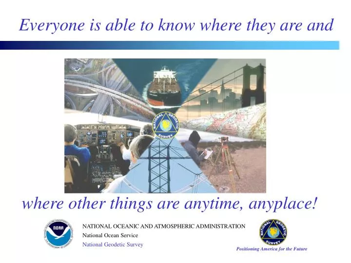
Everyone is able to know where they are and where other things are anytime, anyplace!
The National Spatial Reference System (NSRS) is a consistent national coordinate system that specifies latitude, longitude, height, scale, gravity, and orientation throughout the Nation, as well as how these values change with time. NATIONAL SPATIAL REFERENCE SYSTEM
NATIONAL SPATIAL REFERENCE SYSTEM ACCURATE -- cm accuracy on a global scale MULTIPURPOSE -- Supports Geodesy, Geophysics, Land Surveying, Navigation, Mapping, Charting and GIS activities ACTIVE-- Accessible through Continuously Operating Reference Stations (CORS) and derived products INTEGRATED-- Related to International services and standards (e.g. International Earth Rotation Service, International GPS Service etc.)
< 0.01 Meter - Horizontal < 0.02 Meter - Ellipsoid Height NAD 83(CORS) 1994 - IMPROVING POSITIONAL ACCURACY REFERENCE TIME NETWORK LOCAL FRAME SPAN ACCURACY ACCURACY NAD 27 1927-1986 10 Meters First-Order (1 part in 0.1 million) NAD 83(1986) 1986-1990 1 Meter First-Order (1 part in 0.1 million) NAD 83(HARN) 1987-1997 0.1 Meter B-Order (1 part in 1 million) A-Order (1 part in 10 million)
RESULTING REFERENCE FRAME IS CALLED NAD 83 (NSRS2007) NAD 83 READJUSTMENT FIRST SURVEYS OF HARN COMPLETED BETWEEN 1987 AND 1997 ---------------- GPS HEIGHT MODERNIZATION SURVEYS OF HARN (1997 - 2003) ---------------- 3-D ADJUSTMENT OF ALL HARN SURVEYS AND OTHER SELECTED GPS SURVEYS COMPLETED IN FEB 2007 ---------------- THIS ADJUSTMENT USED THE CORS NETWORK FOR CONTROL AND IT REMOVED SMALL REGIONAL DISTORTIONS (3 - 6 CM) ---------------
SURVEYING METHODS Kinematic GPS Static Positioning (carrier phase) Static Positioning (code)
CORS ADVANTAGES • 3-dimensional (Lat., Long., & Ellipsoid Ht. or X, Y, & Z) • Eliminates control points reconnaissance (time and money). • Eliminates needing people and equipment at a control points. • Direct tie to National Spatial Reference System (NSRS). • CORS positions and velocities are available in both NAD 83 and ITRF coordinate systems. • CORS positions are of the highest accuracy. • CORS positions are continuously monitored and will be updated if the site moves.
Common Question • CORS GPS hardware differs from our GPS hardware. Do we have to use only CORS with the same hardware?
GPS Data – Rinex Format • Data file spans • hourly, daily, customized (UFCORS) • Data collection rates • 1sec, 5sec, 10sec, 15sec, and 30sec • Data file life-time • hourly: 2 days + today • daily: permanently • Data are decimated to a 30-second rate after 30 days
Common Question • The closest CORS to our project area is 50 miles away. How can we use CORS at this distance?
TEST DESIGN:DUAL FREQUENCY CARRIER PHASE • Dual Frequency Geodetic Receivers • Post-Processed with a Precise Orbits • Pairs of CORS sites forming 11 Baselines • Baseline lengths ranging from 26 to 300 km • Various Observation Session Duration • (1, 2, 4, 6, 8, 12, and 24 hours)
Positioning Error vs. Duration of the Observing Session Dual-frequency GPS carrier-phase observations
Vertical Precision Using Dual-Frequency GPS Carrier Phase Observations 95% Confidence Level
ACCESSING CORS DATA & METADATA • Web address = http://www.ngs.noaa.gov/CORS/ • Metadata = data about data • CORSAGE = CORS Amiable Geographic Environment
Coordinates (positions & velocities) Data availability profiles (charts showing times for which data has been collected) Data sheets (descriptive information) Log files (descriptive information) Site photos Time series of positional coordinates Google Maps METADATA FOR A CORS SITE
CORS POSITION & VELOCITY (NAD 83) BILLINGS 5 (BIL5), MONTANA NAD_83 (CORS96) POSITION (EPOCH 2002.0) | Transformed from ITRF00 (epoch 1997.0) position in Dec. 2006. | X = -1372156.069 m latitude = 45 58 16.23777 N | Y = -4223947.064 m longitude = 107 59 47.29988 W | Z = 4563650.301 m ellipsoid height = 874.573 m | | NAD_83 (CORS96) VELOCITY | Transformed from ITRF00 velocity in Dec. 2006. | VX = 0.0039 m/yr northward = -0.0004 m/yr | VY = 0.0038 m/yr eastward = 0.0025 m/yr | VZ = -0.0055 m/yr upward = -0.0073 m/yr ____________________________________________________________________________
CORS POSITION & VELOCITY (ITRF) BILLINGS 1 (BIL1), MONTANA ITRF00 POSITION (EPOCH 1997.0) | | Computed in Dec. 2006 using 57 day of data. | | X = -1372156.638 m latitude = 45 58 16.26277 N | | Y = -4223945.829 m longitude = 107 59 47.34270 W | | Z = 4563650.379 m ellipsoid height = 873.935 m | | | | ITRF00 VELOCITY | | Computed in Oct. 2006 from 1758 days of data for bil5. | | VX = -0.0148 m/yr northward = -0.0095 m/yr | | VY = 0.0026 m/yr eastward = -0.0149 m/yr | | VZ = -0.0115 m/yr upward = -0.0068 m/yr ____________________________________________________________________________
PRIMARY DATA FILES • GPS observations at a CORS site • Satellite orbits (ephemerides)
IGS Satellite Ephemerides NGS is one of the eight International GNSS Service (IGS) Analysis Centers (AC) participating in the production of accurate GPS orbits: Final Precise (~ 13 days latency)[accuracy < 2 cm] Rapid (17 hours latency) [accuracy < 2 cm] Ultra-Rapid (real-time) [accuracy < 10 cm] Satellite positions in SP3 format are given (once every 15 minutes) in current ITRFxxxx frame
Web-based User-Friendly CORS (UFCORS) Web-based “Standard” download FTP (File Transfer Protocol) Three ways to download CORS Information
Obtain CORS data for an exact time interval Choose a sampling rate for the requested data Specify how the data files should be compressed Receive all associated data & metadata (coordinates, descriptive information, orbits) Receive information as soon as it is posted (GPS data are usually posted within an hour of the time these data are received by NOAA) UFCORS: a Web utility enabling users to