Download
1 / 13
130 likes | 138 Vues
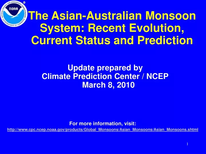
The Asian-Australian Monsoon System: Recent Evolution, Current Status and Prediction. Update prepared by Climate Prediction Center / NCEP March 8, 2010. For more information, visit: http://www.cpc.ncep.noaa.gov/products/Global_Monsoons/Asian_Monsoons/Asian_Monsoons.shtml. Outline.

E N D
The Asian-Australian Monsoon System: Recent Evolution, Current Status and Prediction Update prepared by Climate Prediction Center / NCEP March 8, 2010 For more information, visit:http://www.cpc.ncep.noaa.gov/products/Global_Monsoons/Asian_Monsoons/Asian_Monsoons.shtml
Outline • Recent Evolution and Current Conditions • Monsoon Prediction • Summary • Climatology
Precip Patterns: Last 90 Days During the past 90 days, below-average precipitation was observed over much of the tropical Asian-Australian monsoon region (especially the Philippine Sea and tropical southeastern Indian Ocean) and Madagascar. On the other hand, above-average precipitation appeared over tropical Indian Ocean, the Arafura Sea, and equatorial western Pacific Ocean.
Precip Patterns: Last 30 Days During the past 30 days, below-average precipitation was observed over the tropical Asian-Australian monsoon region and Madagascar. Above-average precipitation was seen over eastern Australia, East Asia, and part of the tropical Indian Ocean
Precip Patterns: Last 5 Days Below-average precipitation was observed over northern Australia, Southeast Asia, and the tropical western Pacific.
Rainfall Time Seriesover 5x5 lat-lon boxes *This unified land-only daily precipitation dataset is different from the CMAP dataset used in the previous three spatial maps. Rainfall has been mostly below average over much of Southeast Asia and northern Australia. The monsoon rainfall over northern Australia became below average again after a period of above-average rainfall.
Atmospheric Circulation Anomalous westerly-southwesterly flow appeared over southern Asia and Southeast Asia. An anomalous cyclonic pattern was observed over eastern Australia.
NCEP/GFS Model Forecasts Bias-Corrected Precip. Anom. for Weak 1 & Week 2 Week-1 Week-2
Prediction of East Asia – NW Pacific Monsoon Upper panel: East Asia – Western North Pacific (EAWNP) monsoon index (Wang et al. 2008) defined as U850 (5-15ºN, 40-80ºE) – U850 (20-30ºN, 70-90ºE). Positive (negative) values indicate strong (weak) than normal monsoon. The NCEP Global Forecast System predicts that, in the next two weeks, the monsoon circulation over Southeast Asia and northwestern Pacific will become weaker from the current near-normal condition. Lower panel: Correlation between rainfall and East Asia – Western North Pacific monsoon index (Wang et al. 2008; shading) and regression of 850-mb winds on the monsoon index (vectors) for March. Green (brown) shading indicates increase (decrease) in rainfall associated with strong monsoon.
Prediction of Australian Monsoon Upper panel: Australian monsoon index (Hung and Yanai 2004) defined as U850 averaged over 2.5ºS-15ºS, 110-150ºE. Positive (negative) values indicate strong (weak) than normal monsoon. The NCEP Global Forecast System predicts that, in the next two weeks, the Australian monsoon circulation will be weaker than normal. Lower panel: Correlation between rainfall and Australian monsoon index (Hung and Yanai 2004; shading) and regression of 850-mb winds on the monsoon index (vectors) for March. Green (brown) shading indicates increase (decrease) in rainfall associated with strong monsoon.
Summary • Below-average precipitation was observed over northern Australia, Southeast Asia, and the tropical western Pacific. • The NCEP Global Forecast System predicts that, in the next two weeks, monsoon circulation will be weaker than normal over northern Australia and Southeast Asia – western Pacific.