Download
1 / 15
160 likes | 502 Vues
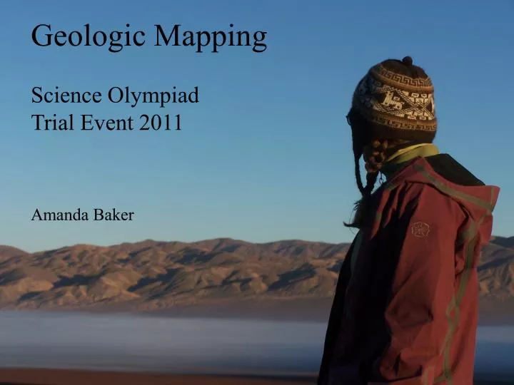
Geologic Mapping Science Olympiad Trial Event 2011. Amanda Baker. Geology: The Field -vs- The Lab Table. Can’t take all students into the field … but we can reproduce important aspects of the experience Decision Making Use of Tools Defense of Interpretations Time Management.

E N D
Geologic Mapping Science Olympiad Trial Event 2011 Amanda Baker
Geology: The Field -vs- The Lab Table • Can’t take all students into the field … but we can reproduce important aspects of the experience • Decision Making • Use of Tools • Defense of Interpretations • Time Management
What does it take to implement these four things? • Decision MakingUse of Tools • Defense of InterpretationsTime Management • Strong Background Knowledge • Plate Tectonics • Rock formation • Lat/long, UTM • Map projections • Topographic maps • Developing a Set of Tools • Provide data • Interpret data • Data - vs - Interpretations • Geologic time scale • Relative and absolute age dating • Depositional environments • Field measurements • Folding and Faulting
Strong Background Knowledge • Plate Tectonics • Rock formation • Lat/long, UTM • Map projections • Geologic time scale • Relative and absolute • age dating • Depositional • environments • Field measurements • Folding and Faulting • Topographic maps • Develop a Set of Tools • Provide data • Interpret data • Data - vs - Interpretations
What does this mean for exam questions? • Knowledge-Based • Multiple choice • Short answer • Diagrams • Tasks • Application • Interpretation • Integration of multiple data sets • Interpretation Tasks • Higher-level application of tools and data sets • More
Knowledge-Based • What is the contour interval? • Of points I, E, G, and D, which is at the greatest and least risk for flooding? Why? • If a spring were sourced at the red dots, draw the path the water would take.
Tasks • Draw a topographic profile from A to E. • A bed outcrops at points B, J, and D. Determine the strike and dip of the bed. • If the “Photo” was taken facing west, draw a dot where the photographer was likely standing. Why there? N
Interpretation Tasks • Using an equal area stereonet, find the strike and dip of a bed with the apparent dips (036, 25E) and (197, 65E).
Interpretation Tasks • Describe the type of feature depicted in the stereonet plot in detail • Is this feature likely to be the result of one, multiple, or a progression of deformation events?
Interpretation Tasks • Complete the block diagram and label any major features
Interpretation Tasks • Draw a cross-section from A to A’ • On your cross-section, label the areas of greatest and least confidence and explain A A’
List of good sources • キPortrait of a Planet, by Steve Marshak • キThe Geoscience Handbook, compiled by Walker and Cohen • キLaboratory Manual in Physical Geology, American Geological Institute • キStructural Analysis & Synthesis, Rowland, Duebendorfer, and Schiefelbein • キhttp://serc.carleton.edu/NAGTWorkshops/structure/
Thank you for your time! Any questions?