Download
1 / 15
160 likes | 306 Vues
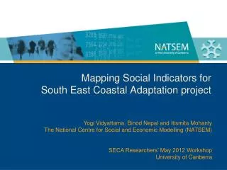
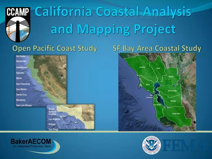
Del Norte. Humboldt. Mendocino. Sonoma. Marin. San Francisco. San Mateo. Santa Cruz. Monterey. San Luis Obispo. Santa Barbara. Ventura. Los Angeles. Orange. San Diego. California Coastal Analysis and Mapping Project. Open Pacific Coast Study. SF Bay Area Coastal Study.

E N D
Del Norte Humboldt Mendocino Sonoma Marin San Francisco San Mateo Santa Cruz Monterey San Luis Obispo Santa Barbara Ventura Los Angeles Orange San Diego California Coastal Analysis and Mapping Project Open Pacific Coast Study SF Bay Area Coastal Study
Town Hall Overview • Introduction to CCAMP Studies • Study Process – data, analysis, partners • Mapping Process • Study Timelines • Break-out Group Discussion • CCAMP Outreach • Points of Contact
Introduction – Risk MAP Vision To deliver quality data that increases public awareness and leads to action that reduces risk to life and property Objective (Coastal) To provide updated flood hazard data for 100% of the populated U.S. coast
Introduction – CCAMP Studies California Coastal Analysis and Mapping Project (CCAMP) Re-map the coastal flood, wave hazard, and associated risks • Re-study California coastal counties www.r9coastal.org
Pre-Preliminary FIRM Study Process Discovery/Kick-Off or Flood Risk Review Coastal Engineering Analyses Floodplain Mapping Map Production
Post-Preliminary FIRM Mapping Process Post-Preliminary Processing • Statutory process for proposed BFE Change • Map adoption: 6-month compliance period • Maps become Effective Map Production • Preliminary maps • Community review • Preliminary FIRM meeting Preliminary Maps Post-Preliminary Processing BFE Docket Preparation and Appeal Period Revised maps become effective Community Review Final Map Preparation and Issue Letter of Final Determination Compliance Period (Map panels adopted by ordinance) Prelim FIRM Meeting 30 Days or More + 90 Days Regulatory 6 Months 90 Days 30-45 Days
Mapping and Deliverables Flood Insurance Rate Maps (FIRM) Flood Insurance Studies (FIS) Risk MAP Products
Del Norte Humboldt Mendocino Sonoma Marin San Francisco San Mateo Santa Cruz Monterey San Luis Obispo Santa Barbara Ventura Los Angeles Orange San Diego Open Pacific Coast Study • Phase 1 (2010) • Northern and Central • California Coast • Phase 2 (2011) • Southern California Coast
CCAMP Outreach – Stay Engaged www.r9coastal.org
Residential Coastal Construction Course • EMI Course E386: http://www.fema.gov/residential-coastal-construction#1 • Independent Study: http://training.fema.gov/EMIWeb/IS/is386.asp
CCAMP Studies - Points of Contact www.r9coastal.org