Download
1 / 11
110 likes | 380 Vues
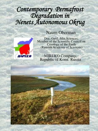
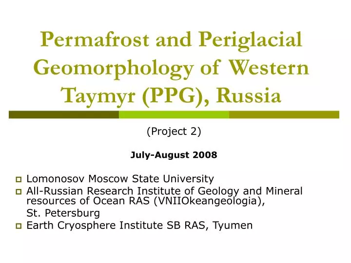
Permafrost and Periglacial Geomorphology of Western Taymyr (PPG), Russia. (Project 2) July-August 2008 Lomonosov Moscow State University All-Russian Research Institute of Geology and Mineral resources of Ocean RAS (VNIIOkeangeologia), St. Petersburg

E N D
Permafrost and Periglacial Geomorphology of Western Taymyr (PPG), Russia (Project 2) July-August 2008 Lomonosov Moscow State University All-Russian Research Institute of Geology and Mineral resources of Ocean RAS (VNIIOkeangeologia), St. Petersburg Earth Cryosphere Institute SB RAS, Tyumen
Main purpose of the course As part of the IPA’s IPY activities a field course on Permafrost and Periglacial Geomorphology of Western Taymyr (PPG) took place along the Western Taymyr coast in July-August 2008 for students studying the north The purpose of the trip was to study different types of ground ice: ice wedges, ice complex, hydrolaccoliths, massive ice as well as to investigate the morphology and cryolithology of Western Taimyr Quaternary deposits
About Students and scientists of the field course “Permafrost and Periglacial Geomorphology of Western Taymyr (PPG)”. Photograph by E. Gusev.
About This 16-day course was held on board the “Sovetskaya Arctika” vessel, which sailed on the Yenisei River and in the Yeniseyskiy Bay from the town of Dudinka to the port of Dikson on the Arctic Coast of the Kara Sea
1.Dudinka 2.Sopochnaya Karga 3.Vorontsovo 4.Budenovets 5.Dikson 6.Matrenin Log 7.Innokent’evskoe 8.Zverevskiy Саре 9.Dorofeevskiy Саре The route
Field Works Seven scientific-educational field trips have been undertaken by the participants of the expedition. These trips were focusing on observations, on the collection of samples of frozen ground and ice for a set of different analyses and on field measurements (e.g. evaluation of moisture content of frozen samples).
Field Works Field works on exposure of Yenisei bank Photograph by I.Streletskaya
Field Works Pleistocene-Holocene deposits in coastal exposures from the right bank of the Yenisey river and Yeniseyskiy Bay were studied Photograph by E.Gusev
Field Works Pleistocene-Holocene deposits in coastal exposures from the right bank of the Yenisey river and Yeniseyskiy Bay were studied.During the expedition students acquired field-work skills (describing boreholes and transverse sections, defining ice fraction, and collecting and archiving of samples), as well as laboratory skills on collected materials (evaluation of solid natural moisture content, herborization and sorting of samples)
Conclusion The obtained data will enable an estimation of the present-day situation in Western Taimyr permafrost zone and the reconstruction of the conditions of permafrost evolution and formation in the past
Acknowledgements The course was funded by ConocoPhillips Russia Inc. Course participants are glad to thank ConocoPhillips Russia Inc. company.