Download
1 / 24
240 likes | 385 Vues
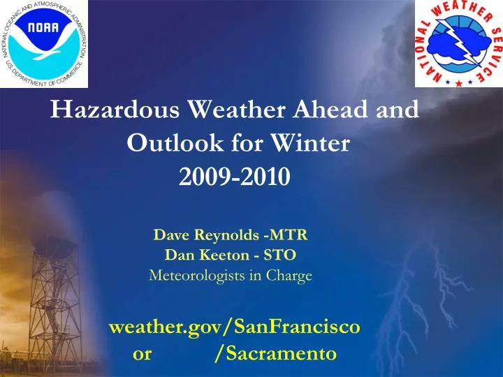
Hazardous Weather Ahead and Outlook for Winter 2009-2010. Dave Reynolds -MTR Dan Keeton - STO Meteorologists in Charge. weather.gov/ SanFrancisco or /Sacramento. Your NWS Weather Forecast Office. Our goal: Provide forecasts and warnings so people can make informed decisions.

E N D
Hazardous Weather Ahead and Outlook for Winter 2009-2010 Dave Reynolds -MTR Dan Keeton - STO Meteorologists in Charge weather.gov/SanFrancisco or /Sacramento
Your NWS Weather Forecast Office • Our goal: Provide forecasts and warnings so people can make informed decisions. San Francisco Lightning
7-Day Forecast 3-5 Day Outlook Special Weather Statement Hazardous Weather Outlook Marine Weather Statement Hydrologic Outlook Hazard Watch 12 to 48 hours ahead Hazard Advisory Hazard Warning WFO Product Timeline potential imminent Nuisance Life and/or property threatening
Developing Stormy Pattern for California • This weather pattern, which features strong zonal flow aimed at portions of the west coast, is likely to last up to a week and maybe longer. • The pattern may be related to ongoing activity in the tropics associated with the Madden-Julian Oscillation. • This weather pattern is likely to be more transient in nature than that typically observed with El Nino. • El Nino does favor additional events of this type – but typically they occur later in the winter (January-February timeframe), and are associated with an amplified wave pattern, eastward extension of the Pacific Jetstream, and persistent pattern of storminess somewhat farther to the south.
MJO Index -- Recent Evolution • The axes (RMM1 and RMM2) represent daily values of the principal components from the two leading modes • The triangular areas indicate the location of the enhanced phase of the MJO • Counter-clockwise motion is indicative of eastward propagation. Large dot most recent observation. • Distance from the origin is proportional to MJO strength • Line colors distinguish different months The MJO has continued to propagate eastward.
Storm track and moisture source often associated with the MJO Setup for Atmospheric River
SSMI shows AR stretching across Pacific to Central California Central CA >15 inches rain Atmospheric River
Series of Storms Starting Sunday Night H Cold arctic air to move south and west Sunday Enhanced Jet Remnants of Typhoon NIDA MJO driven thunderstorms First Storm: Sunday Night – Monday Night More Storms: Tuesday – Next Week Week
ECMWF 156-hr forecast 250 mb winds valid 12Z Wed 09 Dec (knots)
In general there is widespread agreement on strong zonal flow into California next week. Maybe Centered south of Bay Area. Valid 4pm Wednesday Dec 09
Details still to be determined on timing and location of impacts
Winter Outlook • Expect possible moderate strength El Nino to persist through spring. • Could bring recurrence to weather we will see next week. • May not see influence until January • Impacts still not certain
Mass of warm water under surface should maintain or enhance El Nino
SST Outlook: NCEP CFS Forecast Issued 8 November 2009 The CFS ensemble mean (heavy blue line) predicts El Niño will last at least through Northern Hemisphere spring 2010.
El Niño El Niños feature a strong jet stream and storm track across the southern part of the United States, and less storminess and milder-than-average conditions across the North.
ENSO strength vs SFD WY rainfall and sign of PDO Sept-Nov. Strong La Nina Weak/ Mod El Nino Weak/ Mod La Nina Neutral Strong El Nino
weather.gov/SanFrancisco Hazard map – clickable Satellite Radar River Forecasts Forecast Discussion
Media Briefing • Any Questions??