Download
1 / 20
200 likes | 325 Vues
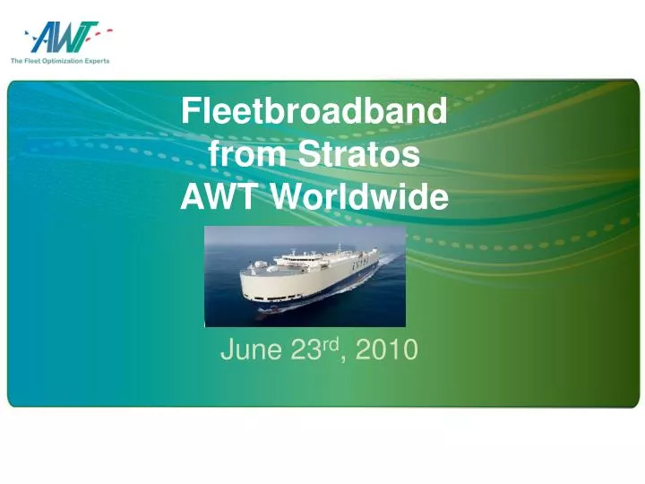
Fleetbroadband from Stratos AWT Worldwide. June 23 rd , 2010. Environmental Data. Ocean Currents. Significant Weather. Significant Waves. 500mb Heights. Visibility. Surface Pressure. Surface Wind. Swells. Sea Temps. Structural Icing. High Resolution Data/Nested Data.

E N D
Fleetbroadband from StratosAWT Worldwide June 23rd, 2010
Environmental Data Ocean Currents Significant Weather Significant Waves 500mb Heights Visibility Surface Pressure Surface Wind Swells Sea Temps Structural Icing
Ocean Currents • NCOM Currents Pilot Chart Currents
Forecast Updates Schedule Request Process Toggle on desired products
High Resolution Data(Subject to Service Level) User-Defined Nested Grid Allows specific sub-region creation Minimizes overall file size User selects specific products Wind Wave Swell Current
Structural Icing • Vessel Icing (within 3 hr. period) • Light (0.1” – 0.8”) • Moderate (0.8” – 2.4”) • Heavy (2.4” and above)
Significant Weather • Weather Type • Drizzle • Rain • Freezing Rain • Thunderstorms • Snow
Vessel Motion Alarms • BVS customized to vessel type • Voyage specific information entered • Graph displays motion risk
High Resolution Data Yields Superior Voyage Optimization - basis steaming time - basis weather constraints - basis minimum fuel - basis fixed ETA Engine Performance Data HP, Slip, RPM’s can be evaluated basis specific wind, waves and ocean currents. Accurate weather and motion alarms Better ETA’s
Expert Support Marine Ops Staff > 40 Industry Experience > 660 years At Sea Experience > 50 years Why does this matter?