Download
1 / 16
160 likes | 316 Vues
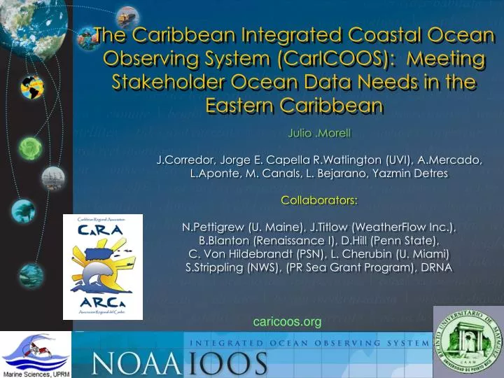
The Caribbean Integrated Coastal Ocean Observing System (CarICOOS): Meeting Stakeholder Ocean Data Needs in the Eastern Caribbean. Julio .Morell J.Corredor, Jorge E. Capella R.Watlington (UVI), A.Mercado, L.Aponte, M. Canals, L. Bejarano, Yazmin Detres Collaborators:

E N D
The Caribbean Integrated Coastal Ocean Observing System (CarICOOS): Meeting Stakeholder Ocean Data Needs in the Eastern Caribbean Julio .Morell J.Corredor, Jorge E. Capella R.Watlington (UVI), A.Mercado, L.Aponte, M. Canals, L. Bejarano, Yazmin Detres Collaborators: N.Pettigrew (U. Maine), J.Titlow (WeatherFlow Inc.), B.Blanton (Renaissance I), D.Hill (Penn State), C. Von Hildebrandt (PSN), L. Cherubin (U. Miami) S.Strippling (NWS), (PR Sea Grant Program), DRNA caricoos.org
MISSION To provide for stakeholder ocean information and data needs identified by the Caribbean Regional Association for Coastal Observing (CaRA) with the purpose of enhancing the economy, improve safety at sea and protecting our marine resources. To this end, CarICOOS operates and develops a regional observing system and implements numerical models necessary for forecasting marine conditions in the region.
CarICOOS Domain is the United States Caribbean EEZ Tourism Maritime activity Major shipping lane Hurricanes & tsunamis Ocean energy potential Steep, rugged bathy International boundaries Fragile marine ecosystems Artisanal fisheries N.A. ● ● Caribbean
CaRA Identified Observational and forecast needs through stakeholder consultation; assisted by Sea Grant and CIEL • Coastal winds • Coastal waves • Coastal currents • Coastal inundation • Water quality (pathogens, visibility, sediments & pollutant plumes) • Bathymetry (navigation, inundation and wave models) • Temperature & salinity (climate change, riverine input) • Benthic habitats…….
Implementation “Guidelines” • To meet identified needs while minimizing infrastructure deployment and maintenance. • Approach: follow a basic core structure consisting of a sparse network of real-time sensors in the coastal environment that is complemented by ocean modeling at higher spatial resolution. • Initial focus on situ ocean observations at the outer shelves of the two ocean regimes characteristic of our area: Atlantic and Caribbean. Coverage to be augmented with targeted finer-scale observations and model products as the system matures.
CarICOOS Integrated Systems • During this funding cycle the CarICOOS portfolio of observing system tools consists of: • CarICOOS Data Buoys - two permanent data buoys fabricated by the University of Maine Physical Oceanography Laboratory at the Caribbean and Atlantic oceanic regimes. The first buoy has been emplaced to the south of the island of Puerto Rico (PR) and the second will be emplaced off the north coast. Plans include the installation of a third data buoy in the area between St. Thomas and St. Croix in the US Virgin Islands (USVI)
CarICOOS Integrated Systems • CarICOOS MESONET - 12 hurricane hardened coastal meteorological stations to be installed in collaboration with WeatherFlow Inc. To be installed by end of December
CarICOOS Integrated Systems (cont.) • CSR/CarICOOS HF Radar Network– Two emplacements on the west coast of PR for current visualization and ship identification and tracking. Leveraged against DHS funding. HF equipment loaned by U. Rutgers and T A&M
CarICOOS Integrated Systems (cont.)CaRA CarICOOS :Remote Sensing Products NOAA Caribbean & Gulf of Mexico CoastWatch imagery interface European Space Agency GlobColour Meris/MODIS Imagery USF – IMARS MODIS True color • Applications: • Plume dispersal • Plume source ID • Pelagic sport fisheries • Coral reef management Note “CAPECO” incident plume 10/23/2009
CarICOOS Integrated Systems (cont) Numerical modeling assets: • Coastal Currents, ADCIRC (J. Capella-CaRA, Dave Hill,- Penn State) • Offshore Currents (HYCOM/ROMS,) • L. Cherubin-RSMAS, N. Idrissi-UVI) • NOAA RTOFS , regional plots (M. Canals)
Coastal Winds, WRF Modeling Assets (cont.) SWAN
Modeling Assets (cont.) Modeled inundation hotspots • CaRA and UPRM have jointly established the Alliance for Numerical Modeling and Coastal Forecast. The PR State DNER has contracted the Alliance to perform Coastal Zone inundation modeling using ADCIRC and SWAN.
CarICOOS data / products CarICOOS.org data and information web portal NDBC Requests NWS-SJ WFO* Coastal mesonet Data buoys WRF/SWAN Optimization/Validation Parallel runs (backup)
Outreach and Education Data product dissemination http://caricoos.org Data product assessment Outreach and Education Committee EDUCATION PLAN DEVELOPMENT EFFORT
Questions? Image by U.T. Brink (USGS)
50 year projection for CaTS SST SSTprojected = climatological T + 0.0233 *50 (Hoegh-Guldberg O (1999) Marine and Freshwater Research 50: 839-866.) (Graham and Barnett, (1987 ) Science 238: 657-659)