Download
1 / 31
320 likes | 501 Vues
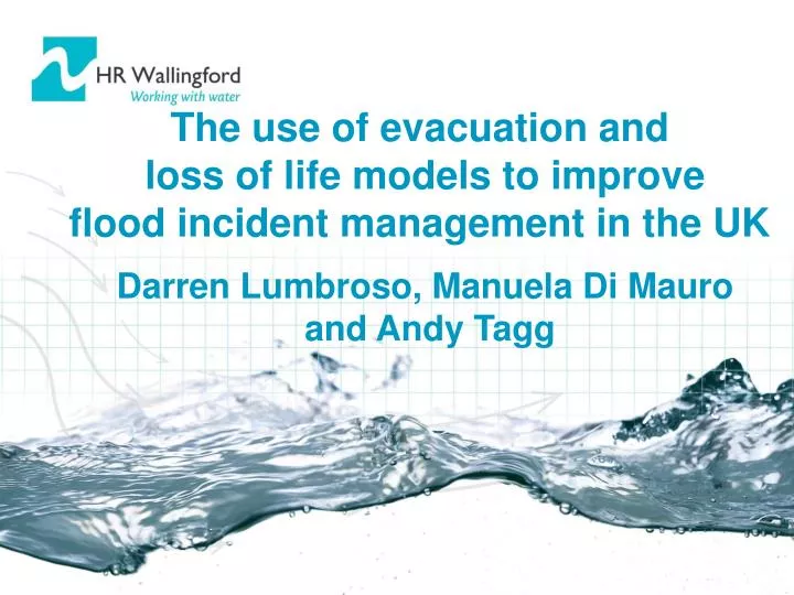
The use of evacuation and loss of life models to improve flood incident management in the UK Darren Lumbroso, Manuela Di Mauro and Andy Tagg. Flood detection. Flood warning dissemination. Flood incident management in the UK. Flood forecasting and interpretation.

E N D
The use of evacuation and loss of life models to improve flood incident management in the UK Darren Lumbroso, Manuela Di Mauro and Andy Tagg
Flood detection Flood warning dissemination Flood incident management in the UK Flood forecasting and interpretation The role of loss of life and evacuation modelling to support and improve flood incident management Flood warning and emergency response Page 2
Issue with emergency planning for floods in UK • Lack of communication to general public • Identification of evacuation routes and safe havens • Vulnerable groups (e.g. the elderly) and areas (e.g. caravan sites) are often not identified • Limited risk assessments for dam breaches and flood defence failures in terms of loss of life and evacuation Page 3
Supporting incident managementLoss of life and evacuation modelling Time to evacuate Loss of life, and how its affected by: Road closures Warning dissemination Use of safe havens Awareness Quantified reporting, number of: Fatalities and injuries Vehicles swept away Buildings destroyed Page 4
Behaviour of each individual is modelled Detailed representation of evacuation routes Levels of modelling - Micro Page 5
Mortality rates estimated for groups of people or zones Simplified evacuation routes Levels of modelling - Meso Page 6
One mortality rate applied to the whole area Evacuation time based on average distance to safety Levels of modelling - Macro Page 7
Typical scale of application? Small area/ Detailed study/ High risk Micro Meso Macro Regional/ Broad scale study/ Lower risk Page 8
Micro scale - BC Hydro Life Safety Model (LSM) • Allows dynamic interaction between receptors (i.e. people, vehicles and buildings) and the flood wave • Estimates loss of life from: - Drowning - Exhaustion - Building collapse - Cars being swept away • Allows the effects of interventions (e.g. road closures, number and location of safe havens) on the evacuation time and risk to people to be assessed Page 9
Life Safety and Evacuation Model 2D flood Modelling • Virtual world • People • Properties • Vehicles • (Time and space distributed) Overview of the LSM modelling process • Life safety simulator • Loss of life/Injuries • Routing of people and vehicles • (i.e. physical equations and logic) • Results and visualisation • Loss of life • Injuries • Building collapse • Evacuation time Page 10
Readily available data in the UK • Population data from census • Number of vehicles from census • Topographic data • Flood depths and velocities from two dimensional hydraulic model • Property data from a geo-reference National Property Data set • Road network data • Historical data (e.g. 1953 flood) Page 12
Canvey Island pilot site Thames Estuary - Pilot sites Essex Essex Canvey Island Greater London Thames Barrier Thames Barrier Thames Thames Thamesmead Estuary Estuary Kent Kent N N 0 0 5 5 10 10 15 15 20 km 20 km Administrative boundary Page 13
Thamesmead - Background Page 14
Thamesmead Page 15
Thamesmead – Modelled scenarios • A range of important inundation scenarios modelled • Varied number of safe havens • Varied number of road closures • Difference in warning rates and number of warning centres Page 16
Thamesmead – Modelled scenarios Page 17
Evaluation of different scenarios - Safe havens 10 safe havens 8 safe havens 6 safe havens 4 safe havens Percentage of people that reach a safe haven analysed for different time steps and for different numbers and locations of safe havens Page 18
Effect of road closures Page 19
Effect of road closures on people Increase in people knocked over from 15 to 200 Increase in fatalities from 6 to 12 Effect of road closures on evacuation and loss of life Page 20
Canvey Island Page 21
Canvey Island – Flood map Page 22
Canvey Island - Background Page 23
Maintenance of flood defences Page 24
Results for the modelled scenarios • Approximately 37,000 people at risk on Canvey Island • Approximately 15,500 buildings • For design event between 350 and 400 fatalities (approximately 1% of the exposed population) • Up to 2,000 buildings destroyed Page 25
1953 2001 Canvey Island – properties Page 26
Canvey Island 1953 flood Page 27
Results of 1953 modelling • Results agree well with historical data • Modelling indicates 55 to 155 fatalities • Around 55 fatalities as the result of drowning and 0 to 100 as the result of exhaustion • Number of buildings destroyed similar to that available from anecdotal evidence Page 28
Use of the Life Safety Model • Risk assessments for dams • To inform emergency management plans • To assess loss of life and injuries in a transparent manner from a variety of causes: - Drowning - Exhaustion - Building collapse - Cars being swept away • To provide another measure of risk to assist in decisions related to the construction and maintenance of new and existing flood defence assets Page 29
Conclusions • The LSM provides an evacuation modelling and loss of life tool that is sufficiently mature to support emergency planning and incident management • Provides a more scientifically robust method for estimating loss of life than other methods previously used in the UK • Could be used to improve emergency plans for heavily defended areas (e.g. London, some coastal areas) and dam risk assessments in the UK • In future could be adapted to incorporate risks from other hazards e.g. toxic spills, nuclear accidents Page 30