Download
1 / 20
200 likes | 309 Vues
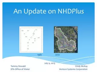
An Update on NHD Plus. July 9, 2013 Tommy Dewald Cindy McKay EPA Office of Water Horizon Systems Corporation. 1987. 2010. Overview. NHD Plus Concepts Flow Estimation Projects Higher Resolution NHDPlus Integrating Z-value

E N D
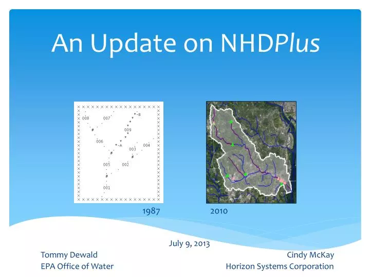
An Update on NHDPlus July 9, 2013 Tommy Dewald Cindy McKay EPA Office of Water Horizon Systems Corporation 1987 2010
Overview NHDPlus Concepts Flow Estimation Projects Higher Resolution NHDPlus Integrating Z-value WBD HUC12 network relationships with NHDPlus
Business Need To know where surface waters and things affecting them are located (anywhere on the landscape) in order to support measures of progress towards providing clean and safe water. • ‘All the water that will ever be is, right now.’ • - National Geographic, October 1993 • ‘We forget that the water cycle and the life cycle are one.’ • - Jacques Cousteau
NHD & NHDPlusConcepts • National Hydrography Dataset (NHD) • National digital map of Nation’s waterbodies • Stream addresses (like street addresses) for linking features to the stream network • Stream network that enables hydrological analysis of features • National Hydrography Dataset Plus (NHDPlus) • Extends the capabilities of the NHD by integrating the network with the land surface • Associates each the NHD stream segment with its local drainage area (catchment) • Stream and catchment characteristics
National Hydrography Dataset Plus (NHDPlus) • Developed by EPA and USGS-Water (2006) to provide flow volume and velocity estimates for pollution dilution modeling • Builds upon NHD stream network – integrated with elevation and HUC12s • Additional stream attributes (stream order, flow, etc) • Catchments and attributes (precipitation, temperature, land cover) • Success of initial version led to Version 2 production by EPA and USGS-Water • NHDPlus team • EPA - Tommy Dewald, Cindy McKay (c), Tim Bondelid (c) • USGS-Water - Rich Moore, Craig Johnston, Al Rea, [Greg Schwarz, Kernell Ries, Dave Wolock]
NHDPlusprovides the Surface Water Geospatial Framework Elevation (30m) NHDPluscatchments tie the landscape to the stream network forming a ‘surface watergeofabric’ Hydrologic Units (HUC12) Stream Network (These figures are approximations (+/- 10%) provided for purposes of comparison.)
NHDPlus Concepts: Integrating the Landscape with the Stream Network NHDPlus Catchments in 3D
October 15, 2012 Introducing NHDPlus Version 2 “By Endurance We Conquer” (Sir Ernest Shackleton) 2012 ESRI UC • Significant Version 2 improvements: • Over 5,000 isolated networks connected • Over 60% enhanced elevations nationally • Now-completed national HUC12s • More robust flow estimation method • Runoff (USGS water balance model) • Excess evapotranspiration • Reference Gage Regression • Flow additions and removals • Adjustment using gaged flows
Estimating Streamflow Using NHDPlus “What I think this project (NHDPlus) offers that is unique is in the full characterization of the flow network, identification of unregulated and regulated gages and reaches, and network-based interpolation and adjustment of flows.” (A.Rea, USGS) • Mean annual flow and velocity (completed as part of NHDPlus) • Mean monthly flow (completion during FY2013 as part of NHDPlus) • 7Q10 flows (completion during FY2013 by EPA OPP and OW) • On-Going: Mean daily flows (planned by USGS Water Census) • Vision: Forecasting future flows (substituting forecasted model inputs) • How can we improve our stream periodicity characteristics?
Higher Resolution NHDPlus • Efforts to date • Value-Added Attributes only – Texas, Vermont, Nebraska • NHDPlus – Minnesota, New York City watershed (LiDAR-based), outstanding proposal for an area in Alaska (IfSAR-based) • USGS high resolution NHD network improvement project (and plans for network value-added attributes (FY14), catchments and flow estimates) • Interest in LiDAR-based hydrography • LiDAR-NHD Best Practices Workgroup report (pending) • Hope to more fully address extraction of hydrologic features in USGS LiDAR collection specification and ASPRS LiDAR Manual • Also, potential for hybrid solutions using high resolution NHD with medium resolution NHDPlus • How can we improve our stream periodicity characteristics?
Higher Resolution NHDPlus • Minnesota: Mississippi Headwaters • Hybrid: High Res NHD • With NHDPlusV2 Catchments • NHD 1:100K -> 1:24K • NED 30M -> 10M • NHD 1:100K -> 1:8K • DEM 30M -> 3M • NYC: Drinking Water Source Area
Linking WBD HUC12 to the NHDPlusV2 Network • WBD HUC12 boundaries define the ridge lines of NHDPlusV2 catchments. • WBD: 87,259 HUC12s – avg. size of 72.2 sq. mi. • NHDPlusV2: 2,647,454 Catchments – avg. size of 1.2 sq. mi. • Can we roll catchments up to HUC12s?
NHDPlusV2 Catchments-HUC12 Comparison Using GRID processing, overlay the catchments on the HUC12s and assign each catchment to the HUC12 that contains most of the catchment Identify the parts of catchments that extend outside of the HUC12 that the catchment has been assigned to. These cells are colored red on the comparison map. For the country, 97% of the cells are assigned to the correct HUC12.
97.0 % agreement between aggregated NHDPluscatchments and WBD HUC 12s (Red = areas of disagreement)
NHDPlusV2 Catchments-HUC12 Comparison Of the 3%, The Most Common Areas of Disagreement
NHDPlusV2 Catchments-HUC12 Comparison Large Areas of Disagreement
NHDPlusV2 Catchments & HUC122 Linked Analysis Scales • NHDPlusV2 • 2,647,454 Catchments • Avg. size -1.2 sq. mi. • WBD • 87,259 HUC12s • Avg. size - 72.2 sq. mi.
NHDPlusV2 - Other News NHDPlus V1 -> V2 Crosswalk published WBD HUC12 – NHDPlusV2 Catchment Crosswalk soon to be published 47,000 dams linked to the NHDPlus network USGS Proposal for z-values still seeking funding
Summary • NHDPlus provides the common geospatial surfacewater framework (the plumbing) • NHDPlus is the closest we’ve come to a hydro Geo-fabric • NHDPlus continues to grow in data content and analysis capabilities • Enabling informed decision-making
Thanks! EPA GIS Workgroup Meeting Arlington, VA - May 7, 2009 http://www.wordle.net