Download
1 / 11
110 likes | 112 Vues
This report provides an inventory of NOAA products, services, and data relevant to the Gulf of Mexico region for ecosystem management. Includes recommendations for improvement.

E N D
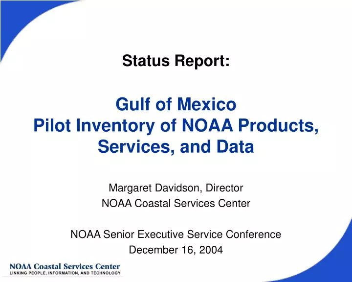
Status Report:Gulf of Mexico Pilot Inventory of NOAA Products, Services, and Data Margaret Davidson, Director NOAA Coastal Services Center NOAA Senior Executive Service Conference December 16, 2004
Origin of Pilot Inventory • NOAA Senior Executive Service (SES) Summit (May 04) to address U.S. Commission on Ocean Policy call for regional ecosystem approach to management • Planning for second SES Summit in Dec 04 • The following products should be available: • Definitions of the regional ecosystem boundaries • Inventory of NOAA products, data, and services for the ecosystems • Plan to improve NOAA’s outreach activities • This product may be available: • Program plans for the five NOAA goals for fiscal years 2007-11
Origin of Pilot Inventory • Follow-up actions from PPI (June 04): • “Develop an inventory of NOAA products, services, and data relevant to support regional ecosystems.” • “The Gulf of Mexico region will be inventoried this summer to gain experience with mechanisms for capturing the information, defining the metadata to capture, and developing useful depictions of the data. The [Coastal Services Center] will take the lead . . . Target completion in early Sept.”
Inventory Process • Coastal Services Center team – developed survey, database, Web site • Asked NOAA SES staff for points of contact from all line offices (July 04) • Sent survey to points of contact, and received responses from these offices: • NWS: Regional Offices (WFO, RFC), OOS (NDBC) • NESDIS: NCDC, ORAD, NODC (NCDDC), OSDPD • NMAO: AOC, MOC • NMFS: SERO, SEFSC • NOS: OR&R, OCRM (including NERRs and NMS), NCCOS, NGS, OCS, CSC, CO-OPS • OAR: AOML, NURP, OE, Sea Grant
Web Site Demo Pilot Inventory
What is NOAA Doing in the Gulf of Mexico? Activities in each NOAA Mission Goal: • Ecosystems – 282 • 87 Coastal and Marine Resources • 37 Ecosystem Research • 10 Ecosystem Observations • 9 Fisheries Management • 4 Protected Species • 3 Habitat • 0 Corals, Aquaculture, Enforcement • Climate – 105 • 34 Observations and Analysis • 1 Climate Predictions and Projections • 0 Climate Forcing, Climate and Ecosystems, Regional Decision Support • Weather and Water – 322 • 139 Local Forecasts and Warnings • 14 Hydrology • 6 Environmental Modeling • 2 Science and Technical Infusion • 0 Space Weather, Air Quality, Coasts Estuaries and Oceans Out of 482 total activities: • 350 accessible on the Internet • 251 products, 205 services, 197 data sets • Commerce and Transportation – 256 • 54 NOAA Emergency Response Program • 23 Aviation Weather • 9 Marine Weather • 0 Marine Transportation Systems, Geodesy Program, Commercial and Remote Sensing Licensing, Surface Weather Program • Organizational excellence, structure, mission support – 169 • 157 Mission Support • 4 Fleet Services • 2 Leadership • 0 Satellite Services
Estimated Effort Effort to date on pilot: 110 hours Effort Post-Summit • To complete pilot : 126 hours + gap analysis(completed by broad NOAA team, possibly representatives from each line office) • Guesstimated effort for remaining 10 regions: 1,240 hours + gap analysis • Guesstimated effort for maintenance: 180 hours/year
Lessons Learned • Survey anomalies • more than one line office, mission goal, or mission program selected on template • no program office selected • no NOAA mission program selected • template format not always used; not able to import data into database and Web site (missing some activities) • Some double entries • Different definitions of the level of activity • Time frame for activities • Gaps in reporting
Outstanding Issues • Determine what site visits are necessary • Need a commitment from NOAA offices to maintain and update information • Address NOAAServer and NOAA Library, possible overlaps • Resolve problem with different definitions of the level at which “activity” is defined
Recommendations • Broaden survey terms to allow searches by: • topics familiar to public (e.g. water quality, hazards, smart growth, invasive species) • areas of geographic influence • Extend time frame • Clarify guidance on PPBES fields • Eliminate double reporting through quality control process • Establish NOAA-wide committee for gap analysis