Download
1 / 10
100 likes | 266 Vues
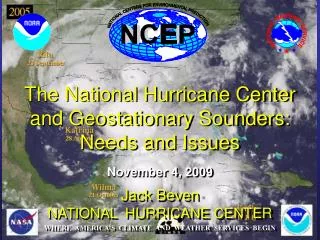
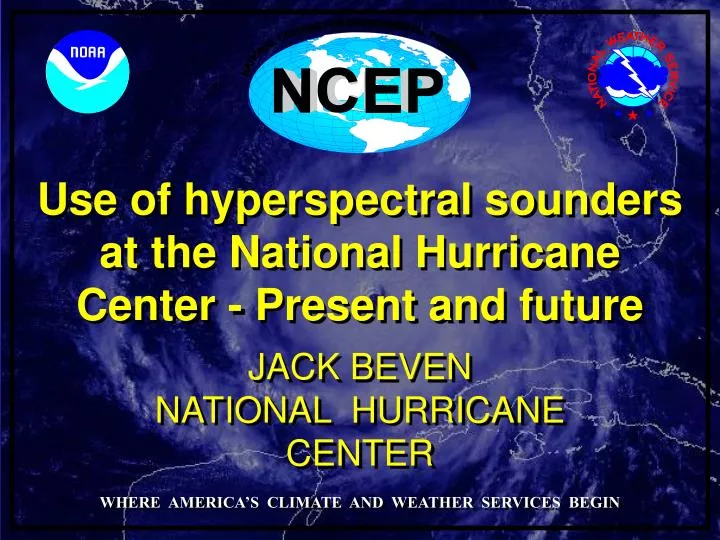
NATIONAL CENTERS FOR ENVIRONMENTAL PREDICTION. Use of hyperspectral sounders at the National Hurricane Center - Present and future. JACK BEVEN. NATIONAL HURRICANE CENTER. WHERE AMERICA’S CLIMATE AND WEATHER SERVICES BEGIN. NHC Sounder Issues. NHC Area of Responsibility.

E N D
NATIONAL CENTERS FOR ENVIRONMENTAL PREDICTION Use of hyperspectral sounders at the National Hurricane Center - Present and future JACK BEVEN NATIONAL HURRICANE CENTER WHERE AMERICA’S CLIMATE AND WEATHER SERVICES BEGIN
NHC Sounder Issues NHC Area of Responsibility • The NHC does not directly use satellite sounding (IR or microwave) data in its operational data stream. • Microwave sounding data is used for tropical cyclone intensity estimates. • Note that the NHC performs a lot of data analysis outside the NWP framework.
Hyperspectral sounders and tropical cyclones • Infrared-based hyperspectral sounders cannot sense underneath the cirrus canopy of a tropical cyclone. • Thin outflow moisture plumes could conceal important features underneath • Hyperspectral sounders currently fly on LEO satellites, which makes data timeliness an operational issue
Eye - Environment Temperature Eye Sounding Environment Sounding AIRS Sounding in Eye of Isabel Integrate Hydrostatic Equation Downward from 100 hPa to Surface Environment Sounding: Ps = 1012 hPa Eye Sounding: Ps = 936 hPa Aircraft Recon: Ps = 933 hPa Hyperspectral sounders could aid in TC intensity analysis! From Menzel, 2006 and DeMaria, CIRA, 2004
Ozone Detection Strong convection can result in "a local maximum of total ozone in the core of hurricane, and a ring of low level of total ozone surrounding the hurricane.“ (NASA /FSU) Hurricane Erin September 2001 Could ozone be a tool to analyze and forecast TC intensity? Could we use a hyperspectral sounder, or would this need a more specialized instrument (e. g. TOMS)? http://www.nasa.gov/vision/earth/environment/ozone_drop.html
Hyperspectral data to diagnose the near-TC environment • Hyperspectral sounder data enhances operational analyses of temperature and moisture in the environment near a tropical cyclone. This helps with the detection of Saharan Air Layers and other dry air intrusions. It could also aid forecasts of tropical transition and extratropical transition.
Total Precipitable Water Products Hyperspectral sounder data (especially geostationary-based) could enhance the microwave-based TPW products, making it easier for the NHC to detect and track important moist and dry features.
Hyperspectral sounder data for numerical weather prediction • Hyperspectral sounder data is used operationally in many NWP models, providing vertical temperature and moisture data where rawinsondes are not available. • This contributes to the NHC through improved global model track forecasts. • Future hyperspectral instruments, especially in geostationary orbit, should bring about additional improvements
Hurricane Isabel MSG-1, 7 September 2003, 11:45 UTC – slide courtesy of EUMETSAT 5 2 3 4 1 4 Channel 09 (IR10.8) RGB Composite VIS0.6-NIR1.6-IR10.8 1=large warm ice, 2=large cold ice, 3=small cold ice, 4=small cold water, 5=large warm water Could hyperspectral data improve analyses of clouds and cloud microphysical properties? This could improve intensity estimates and NWP.
Infrared – thin cloudsSolar – top of clouds Outflow winds Submm – Ice Water Path microwave – Liquid Water Path microwave (Rad/P) - precipitation Surface winds – scatterometer/microwave How can we analyze the structure of a TC with satellites? Sounder – microwave/ infrared – thermal structure Slide courtesy of Steve Ackerman