Download
1 / 20
870 likes | 2.82k Vues
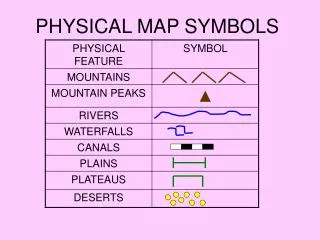
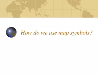
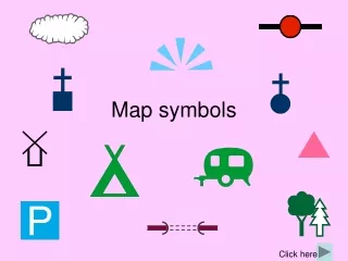
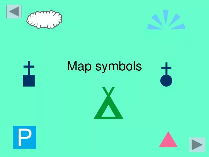
Map symbols. What are map symbols?. Maps give us a lot of information and there is not much room for labels. So we use symbols to save space and make the map easier to read. Symbols may be simple drawings, letters, shortened words or coloured shapes or areas. How can we use them?.

E N D
What are map symbols? • Maps give us a lot of information and there is not much room for labels. • So we use symbols to save space and make the map easier to read. • Symbols may be simple drawings, letters, shortened words or coloured shapes or areas.
How can we use them? • A map will always have a key to list and explain the meanings of the symbols used. • It is therefore not necessary for you to learn all the symbols as you will have a key. • However it will make it quicker if you are familiar with some of the more common ones.
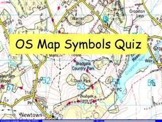
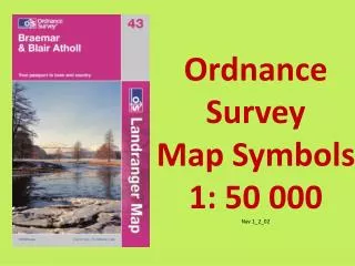
OS map symbols • Ordnance survey (OS) has its own set of map symbols, often copied by others. • These symbols can be grouped into categories like places of interest (usually shown in black), points of interest for tourists (blue), etc. but every map will have a key for reference.
Some map symbols can tell you more than just the location of a feature. Click to find out what...... For example the following symbols all indicate churches – but each one will tell you a little bit about what the church looks like.
Some map symbols can tell you more than just the location of a feature. Chapel For example the following symbols all indicate churches Church with a tower – but each one will tell you a little bit about what the church looks like. Church with a steeple
Areas of woodland too will tell you what type of trees are to be found. • Below is the symbol for a mixed woodland, but the trees could be shown as either just coniferous or just deciduous. Coniferous Deciduous
Map Symbols Lets start to identify some important symbols. Can you guess what these symbols mean?
Map Symbols Lets start to identify some important symbols. Campsite Car Park
Try and memorise these! Public Convenience Coniferous wood Secondary road View point Quarry Public Footpath Information centre Public phone To test yourself......
Click here for the answers Back to main session..
Click here for the answers Secondary road Back to main session..
Click here for the answers Secondary road Information centre Back to main session..
Click here for the answers Secondary road Information centre Coniferous wood Back to main session..
Click here for the answers Secondary road View point Information centre Coniferous wood Back to main session..
Click here for the answers Secondary road View point Information centre Quarry Coniferous wood Back to main session..
Click here for the answers Secondary road Public Convenience View point Information centre Quarry Coniferous wood Back to main session..
Click here for the answers Secondary road Public Convenience View point Information centre Public phone Quarry Coniferous wood Back to main session..
How well did you do? Secondary road Public Convenience View point Information centre Public phone Quarry Public Footpath Coniferous wood
Recap • All (OS) maps use symbols to identify features. – There is a key on all maps. • The symbols are not to scale and are made up of words letters or drawings. • The symbols are broken down into different sections.- Places of interest, Boundaries etc • Symbols can tell you more than just the location of a feature. • The more map symbols you can remember the easier you will find navigation. Back to main session..