Download
1 / 54
570 likes | 881 Vues
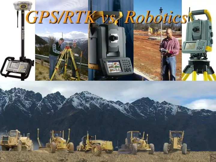
GPS/RTK vs. Robotics. Some GPS lingo. RTK: Real Time Kinematic. Some GPS lingo. RTK: Real Time Kinematic Phase Center: The actual point in the GPS antenna from where measurement is taken. Some GPS lingo. RTK: Real Time Kinematic

E N D
Some GPS lingo. • RTK: Real Time Kinematic
Some GPS lingo. • RTK: Real Time Kinematic • Phase Center: The actual point in the GPS antenna from where measurement is taken.
Some GPS lingo. • RTK: Real Time Kinematic • Phase Center: The actual point in the GPS antenna from where measurement is taken. • Base Station: A GPS receiver which is usually setup over a control station. During RTK surveys a radio will be used to transmit the information collected at the base station to the rover.
Some GPS lingo. • Rover: A mobile GPS receiver used to measure new point.
Some GPS lingo. • Rover: A mobile GPS receiver used to measure new point. • Geoid: an equipotential gravity surface for the earth which, on average, coincides with the mean sea level in the open oceans. It is influenced by large masses on, or beneath, the earth’s surface. (gravity is perpendicular to the geoid)
Can cover up to 6 miles from one setup. The UP side of GPS/RTK
Can cover up to 6 miles from one setup. Not limited by line of site to base station. The UP side of GPS/RTK
Can cover up to 6 miles from one setup. Not limited by line of site to base station. Limited loss of accuracy with increased distance from base station. The UP side of GPS/RTK
Can cover up to 6 miles from one setup. Not limited by line of site to base station. Limited loss of accuracy with increased distance from base station. Under good conditions the horizontal position can be relied upon to be within ± 0.03ft plus 1ppm from phase center to phase center. The UP side of GPS/RTK
Can cover up to 6 miles from one setup. Not limited by line of site to base station. Limited loss of accuracy with increased distance from base station. Under good conditions the horizontal position can be relied upon to be within ± 0.03ft plus 1ppm from phase center to phase center. Real time coordinates & continuously updates your stakeout position. The UP side of GPS/RTK
Can cover up to 6 miles from one setup. Not limited by line of site to base station. Limited loss of accuracy with increased distance from base station. Under good conditions the horizontal position can be relied upon to be within ± 0.03ft plus 1ppm from phase center to phase center. Real time coordinates & continuously updates your stakeout position. One man operation is possible. The UP side of GPS/RTK
Vertical accuracy is plus or minus 0.065ft plus 1 ppm from phase center to phase center under good conditions. The DOWN side of GPS/RTK
Vertical accuracy is plus or minus 0.065ft plus 1 ppm from phase center to phase center under good conditions. Poor geoid model in Montana. The DOWN side of GPS/RTK
Vertical accuracy is plus or minus 0.065ft plus 1 ppm from phase center to phase center under good conditions. Poor geoid model in Montana. Unable to work under a tree canopy or near large obstructions to the sky. The DOWN side of GPS/RTK
Bad initialization are possible and can go undetected without returning to an existing control point to perform a check The DOWN side of GPS/RTK
Bad initialization are possible and can go undetected without returning to an existing control point to perform a check. Requires a large amount of training. The DOWN side of GPS/RTK
Bad initialization are possible and can go undetected without returning to existing control point to perform a check. Requires a large amount of training. Possibility of 20 minutes of down time per day. The DOWN side of GPS/RTK
Bad initialization are possible and can go undetected without returning to existing control point to perform a check. Requires a large amount of training. Possibility of 20 minutes of down time per day. Unable to shoot power lines and building corners. The DOWN side of GPS/RTK
Bad initialization are possible and can go undetected without returning to existing control point to perform a check. Requires a large amount of training. Possibility of 20 minutes of down time per day. Unable to shoot power lines and building corners. Takes a minimum 6 seconds to take a typical topo shot. The DOWN side of GPS/RTK
The UP side of robotics • Can cover up to 2000ft from each setup and delivers finish grade accuracy.
The UP side of robotics • Can cover up to 2000ft from each setup and delivers finish grade accuracy. • Can shoot building corners, overhead power lines, etc.
The UP side of robotics • Can cover up to 2000ft from each setup and delivers finish grade accuracy. • Can shoot building corners, overhead power lines, etc. • Real time coordinates & continuously updates your stakeout position.
The UP side of robotics • One man operation is possible.
The UP side of robotics • One man operation is possible. • Capable working under or in trees canopies.
The UP side of robotics • One man operation is possible. • Capable working under or in trees canopies. • Takes 1 second to take a typical topo shot.
The UP side of robotics • One man operation is possible. • Capable working under or in trees canopies. • Takes 1 second to take a typical topo shot. • Minimum training issue.
The UP side of robotics • One man operation is possible. • Capable working under or in trees canopies. • Takes 1 second to take a typical topo shot. • Minimum training issue. • No down time, works 24/7.
The DOWN side of robotics • Limited by line of sight & radio signal.
PRAY TEST SITES Purpose: • To compare robotic instruments.
PRAY TEST SITES Purpose: • To compare robotic instruments. • To compare robotic instruments against GPS.
PRAY TEST SITES Purpose: • To compare robotic instruments. • To compare robotic instruments against GPS. • To document savings in man-hours to the department.
Test site No. 1 • Description: • In a cross section fashion shots were taken on pavement and proper coding was applied to each shot. Obstruction to instruments were not a factor. However there were some overhanging trees, which did have some effect on GPS.
Test site No. 1 • Purpose: • To test vertical and horizontal accuracies of the robotic instruments using a conventional instrument using the Sokkia total-station as our standard. • To show the savings in man-hours Robotic and RTK could give in an obstruction free situation.
Test site No. 2 Description: Shots were taken at top of bank, toe of slope, and along a fence line. Some interspersed obstructions were present both towards the instrument and the sky.
Test site No. 2 • Purpose: • The main purpose was to test the tracking capabilities of the robotics instruments.
Test site No. 2 • Purpose: • The main purpose was to test the tracking capabilities of the robotics instruments. • To demonstrate the savings in man-hours Robotic instruments and RTK could give in a semi obstructed situation.
Test site No. 3 Description: Shots were taken in heavily wooded area.
Test site No. 3 • Purpose: • To test tracking and search capabilities of the robotics.
Test site No. 3 • Purpose: • To test tracking and search capabilities of the robotics. • We also intend to show the saving in man-hours Robotic could give in a heavily obstructed situation.
Test sites summary • GPS missed a total of 41of 227 shots.
Test sites summary • GPS missed a total of 41of 227 shots. • Robotics perform all three tests in 87 man-minutes, while conventional surveying required 180 man-minutes.
Test sites summary • GPS missed a total of 41of 227 shots. • Robotics perform all three tests in 87 man-minutes, while conventional surveying required 180 man-minutes. • Robotic performed well under all conditions.
Our findings • The cost of GPS 39k-44k and Robotic 30k-38k. • GPS is not capable of staking finish grade elevations, while this is a strong point of robotic. • GPS is not capable of working under all conditions, while robotics can. • Navigation & one man operation for both system are essentially equal.